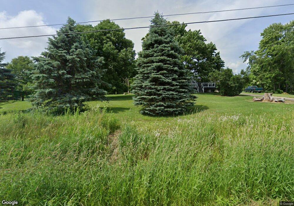
13259 Hatfield Rd Rittman, OH 44270
Estimated Value: $196,000 - $261,407
2
Beds
1
Bath
576
Sq Ft
$402/Sq Ft
Est. Value
About This Home
This home is located at 13259 Hatfield Rd, Rittman, OH 44270 and is currently estimated at $231,602, approximately $402 per square foot. 13259 Hatfield Rd is a home located in Wayne County with nearby schools including Hazel Harvey Elementary School, Chippewa Intermediate School, and Chippewa Jr./Sr. High School.
Ownership History
Date
Name
Owned For
Owner Type
Purchase Details
Closed on
Jun 15, 1999
Sold by
Canfield Rudolph M
Bought by
Fish Donald A and Murray Kimberly D
Current Estimated Value
Home Financials for this Owner
Home Financials are based on the most recent Mortgage that was taken out on this home.
Original Mortgage
$60,000
Outstanding Balance
$16,412
Interest Rate
7.5%
Mortgage Type
New Conventional
Estimated Equity
$215,190
Purchase Details
Closed on
May 10, 1994
Sold by
Gidley Katherine L
Bought by
Canfield Rudolph M
Purchase Details
Closed on
Sep 9, 1993
Bought by
Gidley Katherine L
Purchase Details
Closed on
Apr 19, 1991
Sold by
Hahn George Lamar
Bought by
Rittman Community Church
Create a Home Valuation Report for This Property
The Home Valuation Report is an in-depth analysis detailing your home's value as well as a comparison with similar homes in the area
Home Values in the Area
Average Home Value in this Area
Purchase History
| Date | Buyer | Sale Price | Title Company |
|---|---|---|---|
| Fish Donald A | $110,000 | -- | |
| Canfield Rudolph M | $59,500 | -- | |
| Gidley Katherine L | $25,500 | -- | |
| Rittman Community Church | -- | -- |
Source: Public Records
Mortgage History
| Date | Status | Borrower | Loan Amount |
|---|---|---|---|
| Open | Fish Donald A | $60,000 |
Source: Public Records
Tax History Compared to Growth
Tax History
| Year | Tax Paid | Tax Assessment Tax Assessment Total Assessment is a certain percentage of the fair market value that is determined by local assessors to be the total taxable value of land and additions on the property. | Land | Improvement |
|---|---|---|---|---|
| 2024 | $2,524 | $72,070 | $36,610 | $35,460 |
| 2023 | $2,524 | $72,070 | $36,610 | $35,460 |
| 2022 | $1,881 | $49,360 | $25,070 | $24,290 |
| 2021 | $1,986 | $49,360 | $25,070 | $24,290 |
| 2020 | $1,906 | $49,360 | $25,070 | $24,290 |
| 2019 | $1,635 | $40,840 | $22,670 | $18,170 |
| 2018 | $1,651 | $40,840 | $22,670 | $18,170 |
| 2017 | $1,614 | $40,840 | $22,670 | $18,170 |
| 2016 | $1,596 | $39,270 | $21,800 | $17,470 |
| 2015 | $1,590 | $39,270 | $21,800 | $17,470 |
| 2014 | $1,397 | $39,270 | $21,800 | $17,470 |
| 2013 | $1,433 | $39,040 | $21,170 | $17,870 |
Source: Public Records
Map
Nearby Homes
- 13293 Hatfield Rd
- 13729 Galehouse Rd
- 12160 Harvey Cir
- 0 Harvey Cir
- 13270 Doylestown Rd
- 15041 Doylestown Rd
- 10 Windsor Mews
- 0 E Ohio Ave Unit 5118655
- 0 Akron Rd Unit 5123781
- 0 S Portage St
- 500 W Clinton St
- 15500 Freedom Dr
- 15899 Mccallum Dr
- 970 Eastern Rd
- 56 Salt St
- 54 Salt St
- 270 Maple St
- 53 Grant St
- 200 Industrial St
- 93 Cleveland Ave
- 13243 Hatfield Rd
- 13227 Hatfield Rd
- 13290 Mount Eaton Rd
- 13305 Hatfield Rd
- 13209 Hatfield Rd
- 0 Mt Eaton Rd Unit 3991963
- 13338 Mount Eaton Rd
- 13319 Hatfield Rd
- 13333 Hatfield Rd
- 13372 Mount Eaton Rd
- 13394 Mount Eaton Rd
- 13345 Hatfield Rd
- 13410 Mount Eaton Rd
- 13432 Mount Eaton Rd
- 13353 Hatfield Rd
- 13299 Mount Eaton Rd
- 13468 Mount Eaton Rd
- 13313 Mount Eaton Rd
- 13369 Mount Eaton Rd
- 13514 Mount Eaton Rd