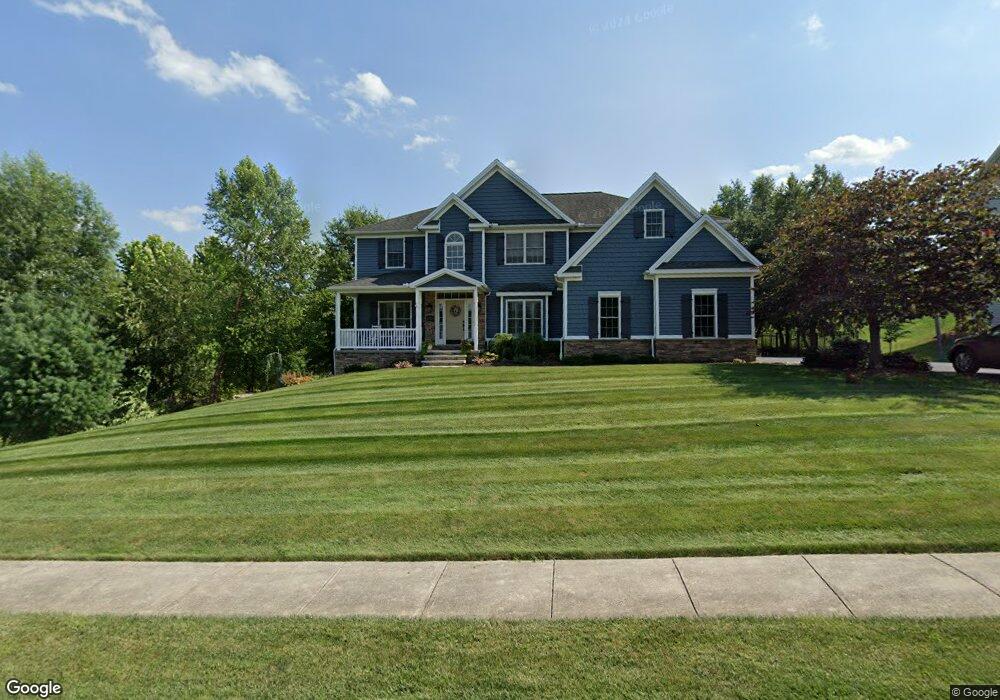
1326 Butter Churn Rd Unit L320 Middletown, PA 17057
Estimated Value: $501,000 - $602,833
4
Beds
3
Baths
2,912
Sq Ft
$190/Sq Ft
Est. Value
About This Home
This home is located at 1326 Butter Churn Rd Unit L320, Middletown, PA 17057 and is currently estimated at $552,458, approximately $189 per square foot. 1326 Butter Churn Rd Unit L320 is a home located in Dauphin County with nearby schools including Middletown Area Middle School, Middletown Area High School, and The Samuel School.
Ownership History
Date
Name
Owned For
Owner Type
Purchase Details
Closed on
Apr 30, 2007
Sold by
Old Reliance L P
Bought by
Keating Brian F
Current Estimated Value
Home Financials for this Owner
Home Financials are based on the most recent Mortgage that was taken out on this home.
Original Mortgage
$82,800
Outstanding Balance
$50,529
Interest Rate
6.23%
Mortgage Type
New Conventional
Estimated Equity
$501,929
Create a Home Valuation Report for This Property
The Home Valuation Report is an in-depth analysis detailing your home's value as well as a comparison with similar homes in the area
Home Values in the Area
Average Home Value in this Area
Purchase History
| Date | Buyer | Sale Price | Title Company |
|---|---|---|---|
| Keating Brian F | $82,800 | -- |
Source: Public Records
Mortgage History
| Date | Status | Borrower | Loan Amount |
|---|---|---|---|
| Open | Keating Brian F | $82,800 |
Source: Public Records
Tax History Compared to Growth
Tax History
| Year | Tax Paid | Tax Assessment Tax Assessment Total Assessment is a certain percentage of the fair market value that is determined by local assessors to be the total taxable value of land and additions on the property. | Land | Improvement |
|---|---|---|---|---|
| 2025 | $11,602 | $306,100 | $45,300 | $260,800 |
| 2024 | $10,861 | $306,100 | $45,300 | $260,800 |
| 2023 | $10,620 | $306,100 | $45,300 | $260,800 |
| 2022 | $10,467 | $306,100 | $45,300 | $260,800 |
| 2021 | $10,467 | $306,100 | $45,300 | $260,800 |
| 2020 | $10,497 | $306,100 | $45,300 | $260,800 |
| 2019 | $10,038 | $297,400 | $45,600 | $251,800 |
| 2018 | $10,038 | $297,400 | $45,600 | $251,800 |
| 2017 | $10,009 | $297,400 | $45,600 | $251,800 |
| 2016 | $0 | $297,400 | $45,600 | $251,800 |
| 2015 | -- | $297,400 | $45,600 | $251,800 |
| 2014 | -- | $297,400 | $45,600 | $251,800 |
Source: Public Records
Map
Nearby Homes
- 481 Longview Dr
- 126 East Ln
- 1770 Oberlin Rd
- 0 Anthony Dr
- 728 Blue Jay Rd
- 7220 Audubon Dr
- 7000 Chambers Hill Rd
- 1948 Oberlin Rd
- 551 Strites Rd
- 7736 Chambers Hill Rd
- 6470 Colchester Ave
- 7810 Chambers Hill Rd
- 7860 Chambers Hill Rd
- 813 Gregs Dr
- 805 Gregs Dr
- 723 Gregs Dr
- 848 Gregs Dr
- 8157 Spruce Dr
- 721 S 82nd St Unit L111
- 0 Lisa Dr Unit 5 PADA2047430
- 1316 Butter Churn Rd Unit L319
- 1372 Pheasant Run Rd
- 1380 Pheasant Run Rd
- 1306 Butter Churn Rd Unit L318
- 1336 Butter Churn Rd Unit L322
- 1325 Butter Churn Rd Unit L332
- 1315 Butter Churn Rd Unit L333
- 1364 Pheasant Run Rd
- 0 Butter Churn Rd Unit 1000784479
- 0 Butter Churn Rd Unit 1000784457
- 0 Butter Churn Rd Unit 1000784397
- 1388 Pheasant Run Rd
- 1335 Butter Churn Rd
- 1305 Butter Churn Rd Unit L334
- 2087 Powderhorn Rd
- 1346 Butter Churn Rd Unit L323
- 2085 Powderhorn Rd
- 1356 Pheasant Run Rd
- 1375 Pheasant Run Rd
- 2091 Powderhorn Rd