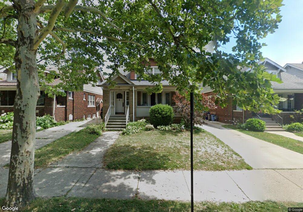
1326 Nottingham Rd Grosse Pointe Park, MI 48230
Estimated Value: $329,000 - $372,000
Studio
1
Bath
1,812
Sq Ft
$194/Sq Ft
Est. Value
About This Home
This home is located at 1326 Nottingham Rd, Grosse Pointe Park, MI 48230 and is currently estimated at $351,078, approximately $193 per square foot. 1326 Nottingham Rd is a home located in Wayne County with nearby schools including George Defer Elementary School, Pierce Middle School, and Grosse Pointe South High School.
Ownership History
Date
Name
Owned For
Owner Type
Purchase Details
Closed on
Aug 24, 2020
Sold by
Kimberly Long Revocable Living Trust
Bought by
Kimberly Long Revocable Living Trust
Current Estimated Value
Purchase Details
Closed on
Nov 30, 2007
Sold by
Long Kimberly
Bought by
Long Kimberly A and Kimberly Long Revocable Trust
Purchase Details
Closed on
Oct 18, 2006
Sold by
Morey Franklin Anne and Franklin John
Bought by
Long Kimberly
Create a Home Valuation Report for This Property
The Home Valuation Report is an in-depth analysis detailing your home's value as well as a comparison with similar homes in the area
Home Values in the Area
Average Home Value in this Area
Purchase History
| Date | Buyer | Sale Price | Title Company |
|---|---|---|---|
| Kimberly Long Revocable Living Trust | -- | None Available | |
| Long Kimberly A | -- | None Available | |
| Long Kimberly | $200,000 | Multiple |
Source: Public Records
Tax History
| Year | Tax Paid | Tax Assessment Tax Assessment Total Assessment is a certain percentage of the fair market value that is determined by local assessors to be the total taxable value of land and additions on the property. | Land | Improvement |
|---|---|---|---|---|
| 2025 | $2,259 | $142,900 | $0 | $0 |
| 2024 | $2,175 | $139,700 | $0 | $0 |
| 2023 | $2,077 | $137,300 | $0 | $0 |
| 2022 | $1,973 | $124,900 | $0 | $0 |
| 2021 | $3,890 | $116,300 | $0 | $0 |
| 2019 | $4,003 | $104,600 | $0 | $0 |
| 2018 | $1,881 | $92,700 | $0 | $0 |
| 2017 | $4,398 | $60,700 | $0 | $0 |
| 2016 | $4,025 | $81,800 | $0 | $0 |
| 2015 | $7,040 | $79,500 | $0 | $0 |
| 2013 | $6,820 | $70,900 | $0 | $0 |
| 2012 | $1,748 | $68,200 | $21,100 | $47,100 |
Source: Public Records
Map
Nearby Homes
- 1338 Somerset Ave
- 1254 Beaconsfield Ave
- 1328 Lakepointe St
- 1417 Beaconsfield Ave
- 1206 Balfour St
- 1332 Wayburn St
- 1336 Wayburn St
- 2580 Alter Rd
- 15239 Mack Ave
- 2140 Alter Rd
- 1465 Maryland St
- 1456 Wayburn St
- 1449 Wayburn St
- 2568 Alter Rd
- 3650 Somerset Ave
- 3615 Barham St
- 2966 Ashland St
- 1039 Somerset Ave
- 1083 Lakepointe St
- 1059 Berkshire Rd
- 1322 Nottingham Rd
- 1330 Nottingham Rd
- 1334 Nottingham Rd
- 1318 Nottingham Rd
- 1327 Somerset Ave Unit 29
- 1314 Nottingham Rd
- 1338 Nottingham Rd
- 1323 Somerset Ave Unit 25
- 1331 Somerset Ave Unit 33
- 1319 Somerset Ave Unit 21
- 1335 Somerset Ave Unit 37
- 1310 Nottingham Rd
- 1342 Nottingham Rd
- 1315 Somerset Ave Unit 17
- 1339 Somerset Ave Unit 41
- 1327 Nottingham Rd
- 1323 Nottingham Rd
- 1333 Nottingham Rd
- 1319 Nottingham Rd
- 1335 Nottingham Rd