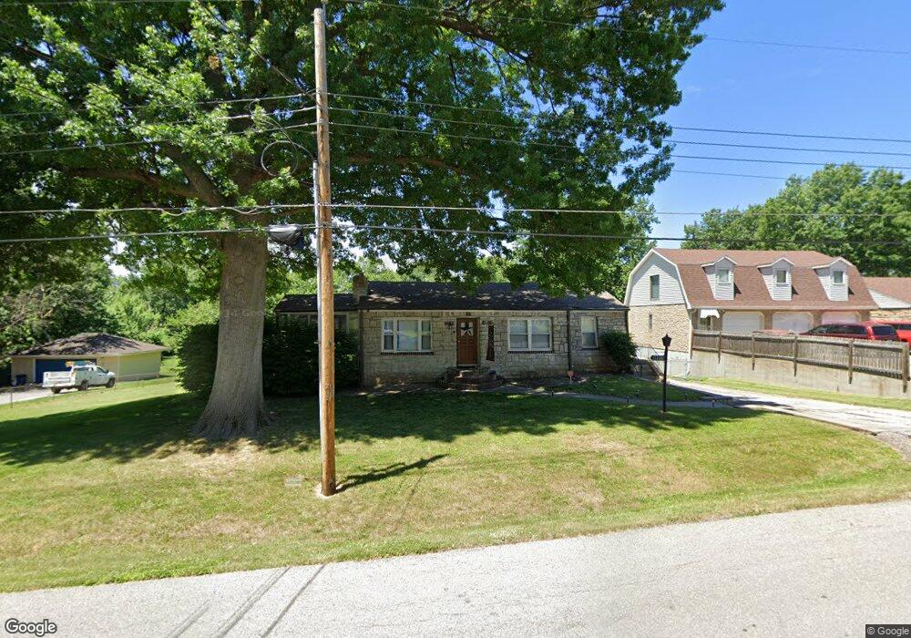
1326 Randall Rd Independence, MO 64055
Hanthorn NeighborhoodEstimated Value: $152,000 - $180,773
2
Beds
1
Bath
1,040
Sq Ft
$161/Sq Ft
Est. Value
About This Home
This home is located at 1326 Randall Rd, Independence, MO 64055 and is currently estimated at $167,943, approximately $161 per square foot. 1326 Randall Rd is a home located in Jackson County with nearby schools including Sycamore Hills Elementary School, Bridger Middle School, and Pioneer Ridge Middle School.
Ownership History
Date
Name
Owned For
Owner Type
Purchase Details
Closed on
Jun 29, 2006
Sold by
Mortgage One Corp
Bought by
Sprague Jim and Sprague Kathy
Current Estimated Value
Purchase Details
Closed on
May 3, 2006
Sold by
Brown Virgil E and Brown Connie S
Bought by
Mortgage One Corp
Purchase Details
Closed on
Jul 8, 1996
Sold by
Wilson Donna and Wilson George
Bought by
Brown Virgil E and Brown Connie S
Home Financials for this Owner
Home Financials are based on the most recent Mortgage that was taken out on this home.
Original Mortgage
$51,000
Interest Rate
8.05%
Mortgage Type
Purchase Money Mortgage
Create a Home Valuation Report for This Property
The Home Valuation Report is an in-depth analysis detailing your home's value as well as a comparison with similar homes in the area
Home Values in the Area
Average Home Value in this Area
Purchase History
| Date | Buyer | Sale Price | Title Company |
|---|---|---|---|
| Sprague Jim | -- | Continental Title Company | |
| Mortgage One Corp | $68,255 | Mokan Title Services Llc | |
| Brown Virgil E | -- | -- |
Source: Public Records
Mortgage History
| Date | Status | Borrower | Loan Amount |
|---|---|---|---|
| Previous Owner | Brown Virgil E | $51,000 |
Source: Public Records
Tax History Compared to Growth
Tax History
| Year | Tax Paid | Tax Assessment Tax Assessment Total Assessment is a certain percentage of the fair market value that is determined by local assessors to be the total taxable value of land and additions on the property. | Land | Improvement |
|---|---|---|---|---|
| 2025 | $1,771 | $22,112 | $6,724 | $15,388 |
| 2024 | $1,771 | $25,563 | $6,154 | $19,409 |
| 2023 | $1,731 | $25,563 | $3,325 | $22,238 |
| 2022 | $1,235 | $16,720 | $5,662 | $11,058 |
| 2021 | $1,235 | $16,720 | $5,662 | $11,058 |
| 2020 | $1,265 | $16,653 | $5,662 | $10,991 |
| 2019 | $1,245 | $16,653 | $5,662 | $10,991 |
| 2018 | $1,189 | $15,183 | $3,809 | $11,374 |
| 2017 | $1,189 | $15,183 | $3,809 | $11,374 |
| 2016 | $1,076 | $13,603 | $3,914 | $9,689 |
| 2014 | $1,022 | $13,207 | $3,800 | $9,407 |
Source: Public Records
Map
Nearby Homes
- 1217 S Crane St
- 1410 S Logan Ave
- 1106 E 23rd St S
- 1425 S Kings Hwy
- 735 E Devon St
- 1202 E 23rd St S
- 1016 E Stone St
- 1040 E Stone St
- 1126 S Logan Ave
- 610 E Fair St
- 1312 S Emery St
- 1200 E Stone St
- 1324 S Emery Ave
- 1340 S Emery Ave
- 1615 S Drumm Ave
- 929 S Pope Ave
- 1109 S Woodbury St
- 421 E Angus St
- 800 E Manor Rd
- 823 S Raymond St
- 1330 Randall Rd
- 1314 Randall Rd
- 1325 Randall Rd
- 1331 Randall Rd
- 1334 Randall Rd
- 1337 Randall Rd
- 1319 Randall Rd
- 1338 Randall Rd
- 1313 Randall Rd
- 1304 Randall Rd
- 1343 Randall Rd
- 1342 Randall Rd
- 1315 S Crane St
- 1313 S Crane St
- 1317 S Crane St
- 1311 S Crane St
- 1307 Randall Rd
- 1309 S Crane St
- 1319 S Crane St
- 1302 Randall Rd