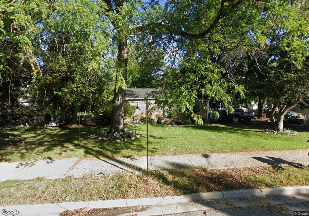
1326 Reo Rd Lansing, MI 48910
Pleasant Grove NeighborhoodEstimated Value: $146,000 - $170,000
3
Beds
1
Bath
1,004
Sq Ft
$159/Sq Ft
Est. Value
About This Home
This home is located at 1326 Reo Rd, Lansing, MI 48910 and is currently estimated at $159,362, approximately $158 per square foot. 1326 Reo Rd is a home located in Ingham County with nearby schools including Reo Elementary School, Attwood School, and Everett High School.
Ownership History
Date
Name
Owned For
Owner Type
Purchase Details
Closed on
May 19, 2011
Sold by
Stewart Catherine L
Bought by
The Federal Home Loan Mortgage Coprorati
Current Estimated Value
Purchase Details
Closed on
Aug 28, 2006
Sold by
Groves James W and Joseph Veronica A
Bought by
Stewart Catherine Louise
Home Financials for this Owner
Home Financials are based on the most recent Mortgage that was taken out on this home.
Original Mortgage
$116,400
Interest Rate
7.75%
Mortgage Type
Purchase Money Mortgage
Purchase Details
Closed on
Jun 1, 2001
Sold by
Mandeville Robert J and Mandeville Kimberly A
Bought by
Groves James W and Joseph Veronica A
Home Financials for this Owner
Home Financials are based on the most recent Mortgage that was taken out on this home.
Original Mortgage
$91,278
Interest Rate
7.18%
Mortgage Type
FHA
Create a Home Valuation Report for This Property
The Home Valuation Report is an in-depth analysis detailing your home's value as well as a comparison with similar homes in the area
Home Values in the Area
Average Home Value in this Area
Purchase History
| Date | Buyer | Sale Price | Title Company |
|---|---|---|---|
| The Federal Home Loan Mortgage Coprorati | $112,630 | None Available | |
| Stewart Catherine Louise | $120,000 | None Available | |
| Groves James W | $92,000 | -- |
Source: Public Records
Mortgage History
| Date | Status | Borrower | Loan Amount |
|---|---|---|---|
| Previous Owner | Stewart Catherine Louise | $116,400 | |
| Previous Owner | Groves James W | $91,278 |
Source: Public Records
Tax History Compared to Growth
Tax History
| Year | Tax Paid | Tax Assessment Tax Assessment Total Assessment is a certain percentage of the fair market value that is determined by local assessors to be the total taxable value of land and additions on the property. | Land | Improvement |
|---|---|---|---|---|
| 2025 | $1,318 | $67,900 | $15,200 | $52,700 |
| 2024 | $20 | $57,800 | $15,200 | $42,600 |
| 2023 | $2,354 | $51,500 | $15,200 | $36,300 |
| 2022 | $2,124 | $46,600 | $13,100 | $33,500 |
| 2021 | $2,080 | $39,300 | $7,800 | $31,500 |
| 2020 | $2,067 | $36,700 | $7,800 | $28,900 |
| 2019 | $3,466 | $35,100 | $7,800 | $27,300 |
| 2018 | $1,857 | $31,700 | $7,800 | $23,900 |
| 2017 | $1,778 | $31,700 | $7,800 | $23,900 |
| 2016 | $3,196 | $31,300 | $7,800 | $23,500 |
| 2015 | $3,196 | $30,300 | $15,575 | $14,725 |
| 2014 | $3,196 | $31,000 | $22,843 | $8,157 |
Source: Public Records
Map
Nearby Homes
- 1415 Reo Rd
- 1420 Reo Rd
- 1429 Pierce Rd
- 4414 S Martin Luther King jr Blvd
- 1422 Pierce Rd
- 1324 N Briarfield Dr
- 1500 Pierce Rd
- 4916 Tressa Dr
- 4221 S Martin Luther King Junior Blvd
- 1729 Reo Rd
- 1113 Eaton Ct
- 4935 Delray Dr
- 0 W Jolly Rd
- 4620 Christiansen Rd
- 833 Dornell Ave
- 0 Eaton Ct
- 5026 Delray Dr Unit A
- VL Hillcrest St
- 5006 Delbrook Ave
- 4407 Burchfield Ave