1326 Somerville Rd Bel Air, MD 21015
Estimated Value: $886,622 - $978,000
--
Bed
2
Baths
4,088
Sq Ft
$228/Sq Ft
Est. Value
About This Home
This home is located at 1326 Somerville Rd, Bel Air, MD 21015 and is currently estimated at $932,311, approximately $228 per square foot. 1326 Somerville Rd is a home located in Harford County with nearby schools including Emmorton Elementary School, Bel Air Middle School, and Bel Air High School.
Ownership History
Date
Name
Owned For
Owner Type
Purchase Details
Closed on
Oct 22, 2021
Sold by
Crocker Berthenia S and Crocker Rosa T
Bought by
Springhouse Family Farm Llc
Current Estimated Value
Purchase Details
Closed on
Apr 17, 2020
Sold by
Crocker Berthenia S and Crocker Rosa T
Bought by
Springhouse Family Farm Llc
Purchase Details
Closed on
Jun 1, 2019
Sold by
Crocker Berthenia S
Bought by
Crocker Berthenia S and Crocker Rosa T
Create a Home Valuation Report for This Property
The Home Valuation Report is an in-depth analysis detailing your home's value as well as a comparison with similar homes in the area
Home Values in the Area
Average Home Value in this Area
Purchase History
| Date | Buyer | Sale Price | Title Company |
|---|---|---|---|
| Springhouse Family Farm Llc | -- | None Available | |
| Springhouse Family Farm Llc | -- | None Available | |
| Crocker Berthenia S | -- | Getz Title Group Llc | |
| Crocker Berthenia S | -- | None Available | |
| Crocker Berthenia S | -- | None Available |
Source: Public Records
Tax History Compared to Growth
Tax History
| Year | Tax Paid | Tax Assessment Tax Assessment Total Assessment is a certain percentage of the fair market value that is determined by local assessors to be the total taxable value of land and additions on the property. | Land | Improvement |
|---|---|---|---|---|
| 2025 | $3,994 | $474,600 | $125,100 | $349,500 |
| 2024 | $3,994 | $455,633 | $0 | $0 |
| 2023 | $3,788 | $436,667 | $0 | $0 |
| 2022 | $3,581 | $417,700 | $125,100 | $292,600 |
| 2021 | $3,581 | $407,533 | $0 | $0 |
| 2020 | $4,684 | $400,667 | $0 | $0 |
| 2019 | $1,359 | $512,900 | $260,600 | $252,300 |
| 2018 | $4,477 | $390,833 | $0 | $0 |
| 2017 | $4,432 | $395,100 | $0 | $0 |
| 2016 | -- | $382,300 | $0 | $0 |
| 2015 | $4,398 | $382,200 | $0 | $0 |
| 2014 | $4,398 | $382,100 | $0 | $0 |
Source: Public Records
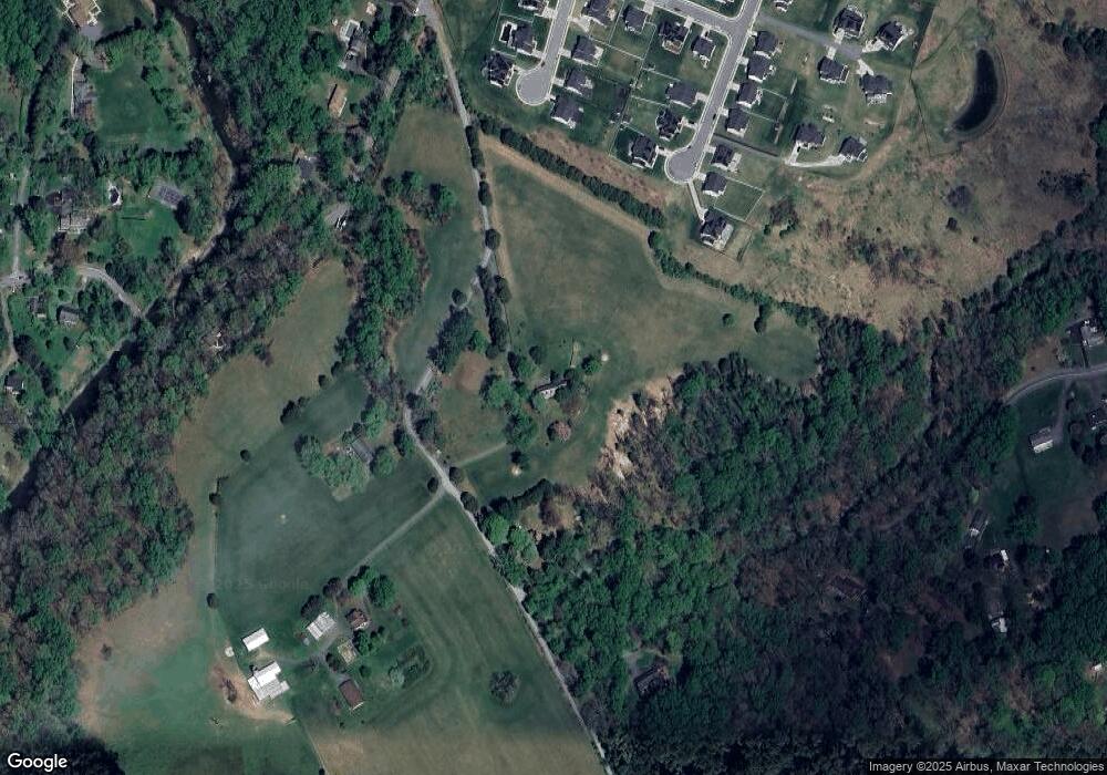
Map
Nearby Homes
- 632 Camelot Dr
- 2007 Royal Fern Ct
- 603 Bishop Ln
- 515 W Ring Factory Rd
- 726 Iron Gate Rd
- 638 Iron Gate Rd
- 403 Summershade Ct
- 412 Viola Ct N
- 0 W Wheel Rd Unit MDHR2045912
- 402 Tall Sycamore Ct
- 407 Country Ridge Cir
- 2332 Darby Ct
- 68 Crystal Ct
- 1055 Sansa Ct
- 62 Crystal Ct
- 201 Burkwood Ct Unit 3B
- 202 Burkwood Ct
- 2300 Arthurs Woods Dr
- 2302 Bell's Tower Ct
- 2310 Bell's Tower Ct Unit 5
- 1332 Somerville Rd
- 1334 Somerville Rd
- 1300 Somerville Rd
- 1367 Merlot Dr
- 1310 Somerville Rd
- 1366 Merlot Dr
- 1365 Merlot Dr
- 729 Montravel Ct
- 1308 Somerville Rd
- 1358 Merlot Dr
- 1363 Merlot Dr
- 727 Montravel Ct
- 1505 Somerville Rd
- 1356 Merlot Dr
- 728 Montravel Ct
- 1357 Merlot Dr
- 725 Montravel Ct
- 734 W Ring Factory Rd
- 1305 Somerville Rd
- 631 Plumtree Rd