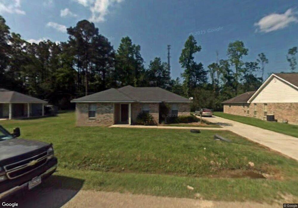
13263 Clint St Walker, LA 70785
Estimated Value: $205,754 - $269,000
About This Home
This home is located at 13263 Clint St, Walker, LA 70785 and is currently estimated at $234,689. 13263 Clint St is a home located in Livingston Parish with nearby schools including Walker Elementary School, Westside Junior High School, and Walker High School.
Ownership History
We collect this data history from publicly available records. To have your information removed, we recommend requesting removal directly through your county’s website.
Purchase Details
Home Financials for this Owner
Home Financials are based on the most recent Mortgage that was taken out on this home.Home Values in the Area
Average Home Value in this Area
Purchase History
We collect this data history from publicly available records. To have your information removed, we recommend requesting removal directly through your county’s website.
| Date | Buyer | Sale Price | Title Company |
|---|---|---|---|
| -- | Titleplus Llc |
Mortgage History
We collect this data history from publicly available records. To have your information removed, we recommend requesting removal directly through your county’s website.
| Date | Status | Borrower | Loan Amount |
|---|---|---|---|
| Open | $123,250 |
Tax History
We collect this data history from publicly available records. To have your information removed, we recommend requesting removal directly through your county’s website.
| Year | Tax Paid | Tax Assessment Tax Assessment Total Assessment is a certain percentage of the fair market value that is determined by local assessors to be the total taxable value of land and additions on the property. | Land | Improvement |
|---|---|---|---|---|
| 2025 | $1,953 | $18,214 | $2,640 | $15,574 |
| 2024 | $1,927 | $18,214 | $2,640 | $15,574 |
| 2023 | $1,673 | $13,600 | $2,640 | $10,960 |
| 2022 | $1,685 | $13,600 | $2,640 | $10,960 |
| 2021 | $1,486 | $13,600 | $2,640 | $10,960 |
| 2020 | $1,478 | $13,600 | $2,640 | $10,960 |
| 2019 | $1,304 | $11,650 | $2,640 | $9,010 |
| 2018 | $1,316 | $11,650 | $2,640 | $9,010 |
| 2017 | $1,345 | $11,650 | $2,640 | $9,010 |
| 2015 | $474 | $11,410 | $2,640 | $8,770 |
| 2014 | $482 | $11,410 | $2,640 | $8,770 |
Map
- 29764 Aster St
- 7.3 acres Brian Park Dr
- 32550 Dwayne Dr
- TBD College Dr
- 1.362 acres Winfield Ben
- 30080 Stump St
- 13587 Burgess Ave
- 12944 Pleasant Ridge Dr
- 12805 Ina Dr
- 12847 Pleasant Ridge Dr
- 28049 Foxfire Ave
- 28025 Foxfire Ave
- 29247 S Palmetto St
- 29626 S Palmetto St
- 27969 Great Eagle Ave
- Lots 3&4 Burgess Ave
- 11545 Burgess Ave
Ask me questions while you tour the home.