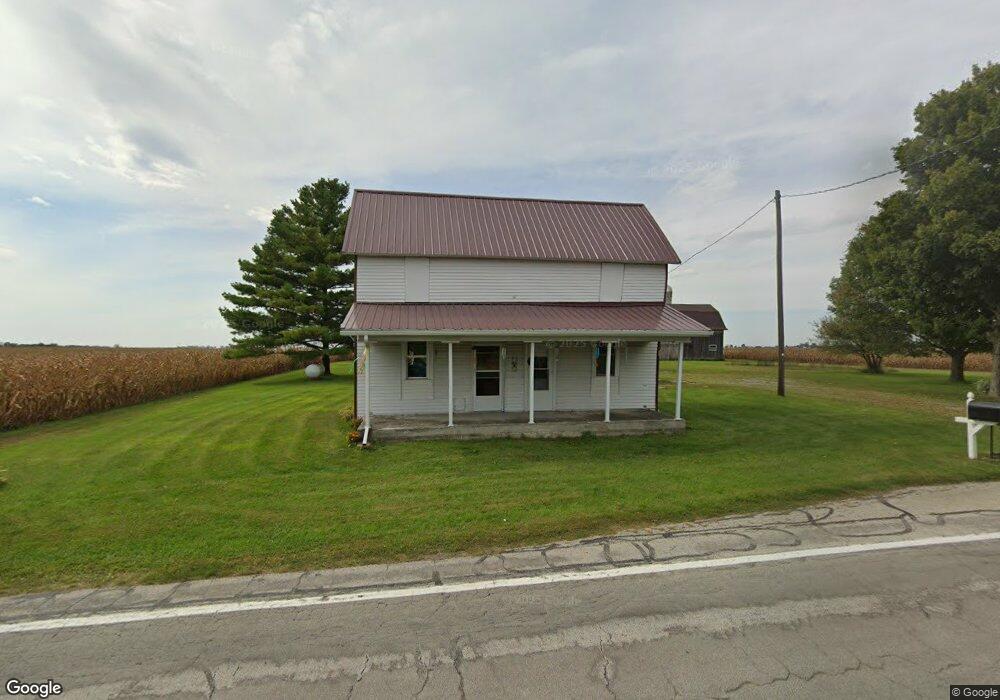
13269 State Route 65 Wapakoneta, OH 45895
Estimated Value: $139,000 - $220,000
2
Beds
1
Bath
1,704
Sq Ft
$106/Sq Ft
Est. Value
About This Home
This home is located at 13269 State Route 65, Wapakoneta, OH 45895 and is currently estimated at $181,175, approximately $106 per square foot. 13269 State Route 65 is a home located in Auglaize County with nearby schools including Wapakoneta Elementary School, Wapakoneta High School, and Wapakoneta Middle School.
Ownership History
Date
Name
Owned For
Owner Type
Purchase Details
Closed on
Oct 23, 2018
Sold by
Evans John B and Evans Susan J
Bought by
Cianciolo Samantha and Th Evans Trust
Current Estimated Value
Purchase Details
Closed on
Jan 27, 2014
Sold by
Frick Randy L and Frick Kathy L
Bought by
Frick Randy L and Frick Kathy L
Home Financials for this Owner
Home Financials are based on the most recent Mortgage that was taken out on this home.
Original Mortgage
$55,995
Interest Rate
4.55%
Mortgage Type
Purchase Money Mortgage
Create a Home Valuation Report for This Property
The Home Valuation Report is an in-depth analysis detailing your home's value as well as a comparison with similar homes in the area
Home Values in the Area
Average Home Value in this Area
Purchase History
| Date | Buyer | Sale Price | Title Company |
|---|---|---|---|
| Cianciolo Samantha | -- | None Available | |
| Frick Randy L | -- | Atgf | |
| Evans John B | $74,666 | Attorney |
Source: Public Records
Mortgage History
| Date | Status | Borrower | Loan Amount |
|---|---|---|---|
| Closed | Evans John B | $55,995 |
Source: Public Records
Tax History Compared to Growth
Tax History
| Year | Tax Paid | Tax Assessment Tax Assessment Total Assessment is a certain percentage of the fair market value that is determined by local assessors to be the total taxable value of land and additions on the property. | Land | Improvement |
|---|---|---|---|---|
| 2024 | $1,571 | $30,750 | $10,380 | $20,370 |
| 2023 | $1,040 | $30,750 | $10,380 | $20,370 |
| 2022 | $883 | $23,320 | $8,310 | $15,010 |
| 2021 | $863 | $23,320 | $8,310 | $15,010 |
| 2020 | $444 | $23,321 | $8,309 | $15,012 |
| 2019 | $724 | $19,593 | $6,979 | $12,614 |
| 2018 | $726 | $19,593 | $6,979 | $12,614 |
| 2017 | $723 | $19,593 | $6,979 | $12,614 |
| 2016 | $713 | $19,527 | $6,650 | $12,877 |
| 2015 | $729 | $19,992 | $6,650 | $13,342 |
| 2014 | $758 | $19,992 | $6,650 | $13,342 |
| 2013 | $638 | $32,365 | $19,023 | $13,342 |
Source: Public Records
Map
Nearby Homes
- 20630 State Route 67
- 17 E Walnut St
- 37 N Main St
- 0 Ohio 67
- 25836 Ohio 67
- 202 W Mulberry St
- 105 Guthrie St
- 22275 Buckland Holden Rd
- 11773 Sunview Ave
- 11900 Duff Rd Unit 6
- 11900 Duff Rd Unit 68
- 11352 N Township Road 88
- 12015 Holly Dr
- 103 Redbud Cir
- 12102 Shannon Dr Unit 89
- 11579 Cooper Ave
- 104 Village Pkwy
- 115 Village Pkwy
- 11546 Horseshoe Channel Dr
- 215 Village Pkwy
- 13194 Ohio 65
- 13194 State Route 65
- 13280 State Route 65
- 13395 State Route 65
- 13532 State Route 65
- 13782 State Route 65
- 12778 State Route 65
- 21568 State Route 33
- 12600 State Route 65
- 21047 Clay Rd
- 21325 Clay Rd
- 13111 Wrestle Creek Rd
- 20548 Clay Rd
- 21521 Clay Rd
- 000 Boundary Rd
- 20986 Clay Rd
- 21121 State Route 33
- 13640 Wrestle Creek Rd
- 13682 Wrestle Creek Rd