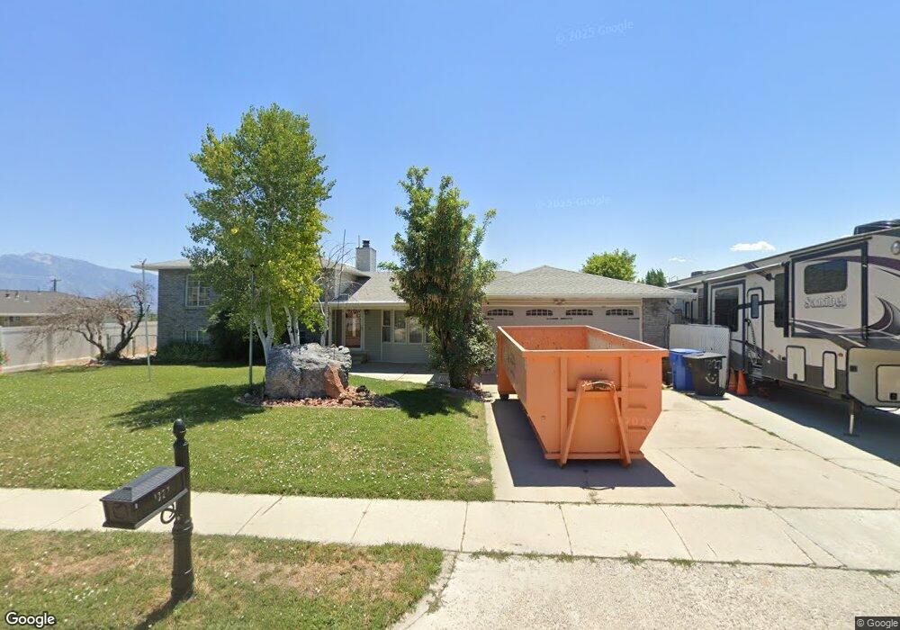
1327 Diane Dr Salt Lake City, UT 84123
Estimated Value: $619,000 - $640,000
3
Beds
2
Baths
2,120
Sq Ft
$297/Sq Ft
Est. Value
About This Home
This home is located at 1327 Diane Dr, Salt Lake City, UT 84123 and is currently estimated at $628,973, approximately $296 per square foot. 1327 Diane Dr is a home located in Salt Lake County with nearby schools including Plymouth Elementary School, Eisenhower Jr High School, and Taylorsville High School.
Ownership History
Date
Name
Owned For
Owner Type
Purchase Details
Closed on
Aug 21, 2025
Sold by
Dick And Yvette Madsen Family Trust and Mccarty Kristie Dawn
Bought by
Noori Romeo
Current Estimated Value
Purchase Details
Closed on
Oct 27, 2017
Sold by
Madsen Richard L and Madsen Connie Byvette
Bought by
Madsen Yvette and The Dick And Yvette Fadsene Family Trust
Purchase Details
Closed on
May 18, 2016
Sold by
Madsen Tony R
Bought by
Madsen Richard L
Purchase Details
Closed on
Apr 4, 2008
Sold by
Madsen Yvette
Bought by
Madsen Yvette and Madsen Tony R
Create a Home Valuation Report for This Property
The Home Valuation Report is an in-depth analysis detailing your home's value as well as a comparison with similar homes in the area
Home Values in the Area
Average Home Value in this Area
Purchase History
| Date | Buyer | Sale Price | Title Company |
|---|---|---|---|
| Noori Romeo | -- | Gt Title Services | |
| Madsen Yvette | -- | None Available | |
| Madsen Richard L | -- | Integrated Title Ins Service | |
| Madsen Yvette | -- | Integrated Title Ins Svcs |
Source: Public Records
Tax History Compared to Growth
Tax History
| Year | Tax Paid | Tax Assessment Tax Assessment Total Assessment is a certain percentage of the fair market value that is determined by local assessors to be the total taxable value of land and additions on the property. | Land | Improvement |
|---|---|---|---|---|
| 2025 | $3,193 | $581,300 | $218,800 | $362,500 |
| 2024 | $3,193 | $523,700 | $202,600 | $321,100 |
| 2023 | $3,193 | $490,300 | $194,800 | $295,500 |
| 2022 | $3,118 | $505,900 | $191,000 | $314,900 |
| 2021 | $2,761 | $382,200 | $125,600 | $256,600 |
| 2020 | $2,755 | $357,200 | $96,500 | $260,700 |
| 2019 | $2,640 | $344,800 | $96,500 | $248,300 |
| 2018 | $2,492 | $313,700 | $92,500 | $221,200 |
| 2017 | $2,166 | $286,700 | $92,500 | $194,200 |
| 2016 | $2,101 | $277,800 | $92,500 | $185,300 |
| 2015 | $1,925 | $237,900 | $107,100 | $130,800 |
| 2014 | $2,022 | $245,400 | $112,100 | $133,300 |
Source: Public Records
Map
Nearby Homes
- 1273 W Brister Dr
- 1334 Portside Way Unit 165
- 5435 S Break Water Dr
- 1332 W Ocean Ct
- 1380 W Ocean Ct
- 5449 S Coastal Ct
- 1370 W Telegraph Hill Dr
- 1178 W Brandonwood Dr
- 1401 Beacon Hill Dr Unit 118
- 1381 Beacon Hill Dr
- 1297 Glencoe Dr
- 1193 W Dun Robin Ct
- 1179 W Dun Robin Ct
- 903 W Bullion St
- 913 W Bullion St Unit 10
- Hirst 2 Plan at The Gallery at Bullion - Townhomes
- Caro 2 Plan at The Gallery at Bullion - Townhomes
- Sargent Plan at The Gallery at Bullion - Single Family Homes
- Gomez Plan at The Gallery at Bullion - Single Family Homes
- Dexter Plan at The Gallery at Bullion - Single Family Homes