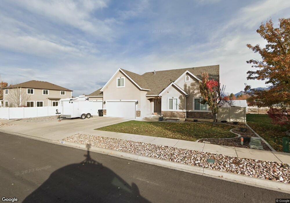
1327 E 1520 S Unit 7 Spanish Fork, UT 84660
Estimated Value: $622,000 - $691,000
4
Beds
3
Baths
3,871
Sq Ft
$171/Sq Ft
Est. Value
About This Home
This home is located at 1327 E 1520 S Unit 7, Spanish Fork, UT 84660 and is currently estimated at $660,385, approximately $170 per square foot. 1327 E 1520 S Unit 7 is a home located in Utah County with nearby schools including Canyon Elementary School, Spanish Fork Jr High School, and Spanish Fork High School.
Ownership History
Date
Name
Owned For
Owner Type
Purchase Details
Closed on
Jun 28, 2019
Sold by
Lusk Shelly and Lusk Frank
Bought by
Lusk Franklia W and Lusk Shelly C
Current Estimated Value
Home Financials for this Owner
Home Financials are based on the most recent Mortgage that was taken out on this home.
Original Mortgage
$285,000
Outstanding Balance
$187,987
Interest Rate
4%
Mortgage Type
New Conventional
Estimated Equity
$472,398
Purchase Details
Closed on
Nov 10, 2010
Sold by
Utah Home Builders Llc
Bought by
Lusk Shelly and Lusk Frank
Home Financials for this Owner
Home Financials are based on the most recent Mortgage that was taken out on this home.
Original Mortgage
$216,800
Interest Rate
4.27%
Mortgage Type
New Conventional
Purchase Details
Closed on
Sep 7, 2010
Sold by
J Scott Lewis & Assoc Inc
Bought by
Utah Home Builders Llc
Home Financials for this Owner
Home Financials are based on the most recent Mortgage that was taken out on this home.
Original Mortgage
$188,852
Interest Rate
4.45%
Mortgage Type
Construction
Purchase Details
Closed on
Jan 6, 2010
Sold by
Burnside Homes Inc
Bought by
J Scott Lewis & Assoc Inc
Purchase Details
Closed on
Dec 21, 2009
Sold by
J L C
Bought by
Burnside Homes Inc
Purchase Details
Closed on
Nov 4, 2009
Sold by
Ober Brad R and Ober Marjann B
Bought by
Ober Brad Raymond and Ober Marjann Baker
Purchase Details
Closed on
Nov 3, 2009
Sold by
Lane Raymond P
Bought by
Ober Brad R and Ober Marjann B
Purchase Details
Closed on
Jul 31, 2007
Sold by
Harvest Ridge Lc
Bought by
Burnside Homes Inc
Home Financials for this Owner
Home Financials are based on the most recent Mortgage that was taken out on this home.
Original Mortgage
$2,242,942
Interest Rate
6.62%
Mortgage Type
Purchase Money Mortgage
Purchase Details
Closed on
Apr 14, 2006
Sold by
Stevensbales Llc
Bought by
Lane Raymond P
Home Financials for this Owner
Home Financials are based on the most recent Mortgage that was taken out on this home.
Original Mortgage
$314,600
Interest Rate
6.35%
Mortgage Type
Credit Line Revolving
Purchase Details
Closed on
Nov 21, 2005
Sold by
Loafer Rim Properties Lc
Bought by
Stevensbales Llc
Create a Home Valuation Report for This Property
The Home Valuation Report is an in-depth analysis detailing your home's value as well as a comparison with similar homes in the area
Home Values in the Area
Average Home Value in this Area
Purchase History
We collect this data history from publicly available records. To have your information removed, we recommend requesting removal directly through your county’s website.
| Date | Buyer | Sale Price | Title Company |
|---|---|---|---|
| Lusk Franklia W | -- | Skyline Title Llc | |
| Lusk Shelly | -- | Affiliated First Title Comp | |
| Utah Home Builders Llc | -- | Affiliated First Title Comp | |
| J Scott Lewis & Assoc Inc | -- | Integrated Title Insurance | |
| Burnside Homes Inc | -- | Integrated Title Insurance | |
| Ober Brad Raymond | -- | None Available | |
| Ober Brad R | -- | Premier Title Insurance Age | |
| Burnside Homes Inc | -- | Integrated Title Insurance | |
| Lane Raymond P | -- | First American Title Agency | |
| Stevensbales Llc | -- | Old Republic Title Company |
Source: Public Records
Mortgage History
We collect this data history from publicly available records. To have your information removed, we recommend requesting removal directly through your county’s website.
| Date | Status | Borrower | Loan Amount |
|---|---|---|---|
| Open | Lusk Franklia W | $285,000 | |
| Closed | Lusk Shelly | $216,800 | |
| Previous Owner | Utah Home Builders Llc | $188,852 | |
| Previous Owner | Burnside Homes Inc | $2,242,942 | |
| Previous Owner | Lane Raymond P | $314,600 |
Source: Public Records
Tax History
| Year | Tax Paid | Tax Assessment Tax Assessment Total Assessment is a certain percentage of the fair market value that is determined by local assessors to be the total taxable value of land and additions on the property. | Land | Improvement |
|---|---|---|---|---|
| 2025 | $3,179 | $358,050 | -- | -- |
| 2024 | $3,179 | $327,690 | $0 | $0 |
| 2023 | $3,247 | $335,060 | $0 | $0 |
| 2022 | $3,351 | $339,130 | $0 | $0 |
| 2021 | $2,842 | $460,100 | $159,500 | $300,600 |
| 2020 | $2,642 | $415,800 | $145,000 | $270,800 |
| 2019 | $2,450 | $405,800 | $145,000 | $260,800 |
| 2018 | $2,190 | $350,600 | $123,800 | $226,800 |
| 2017 | $2,037 | $175,285 | $0 | $0 |
| 2016 | $1,934 | $164,175 | $0 | $0 |
| 2015 | $1,795 | $150,590 | $0 | $0 |
| 2014 | $1,661 | $139,865 | $0 | $0 |
Source: Public Records
Map
Nearby Homes
- 1517 E 1410 S
- 1712 S 1300 E
- 1332 E 1670 S Unit 823
- 1173 S 1180 E
- 357 E 1460 S Unit 45
- 385 E 1460 S Unit 47
- 1025 S 3100 E Unit 320
- 1070 E 1050 S
- 1804 E 1850 S
- 82 E 1900 S
- 822 Skylark Dr
- 938 S 1740 E
- 816 S 1300 E
- 1754 E 920 S
- 1439 S 3600 E
- 864 S 900 E
- 839 S 1760 E
- 2163 E 1400 S
- 743 S 900 E
- 2034 E 800 S
- 1327 E 1520 S
- 1355 E 1520 S
- 1355 E 1520 S Unit 8
- 1317 E 1520 S Unit 6
- 1503 S 1300 E
- 1485 S 1300 E Unit 5
- 1326 E 1520 S Unit 12
- 1326 E 1520 S
- 1348 E 1520 S Unit 11
- 1312 E 1520 S Unit 13
- 1368 E 1520 S Unit 10
- 651 E 1300 S Unit 34
- 1465 S 1300 E Unit 4
- 1292 E 1520 S Unit 14
- 1820 S 1400 E Unit 28
- 1820 S 1400 E
- 1547 S 1300 E
- 1275 E 1520 S Unit 1
- 1275 E 1520 S
- 1394 E 1520 S Unit 9
Your Personal Tour Guide
Ask me questions while you tour the home.