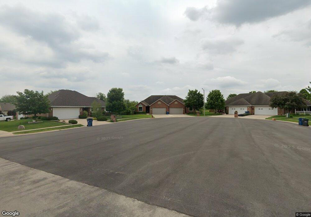
1327 Michael Ct Unit 1 Morris, IL 60450
Estimated Value: $347,000 - $364,000
3
Beds
2
Baths
1,773
Sq Ft
$200/Sq Ft
Est. Value
About This Home
This home is located at 1327 Michael Ct Unit 1, Morris, IL 60450 and is currently estimated at $354,618, approximately $200 per square foot. 1327 Michael Ct Unit 1 is a home located in Grundy County with nearby schools including Saratoga Elementary School, Morris Community High School, and Immaculate Conception School.
Ownership History
Date
Name
Owned For
Owner Type
Purchase Details
Closed on
Jul 10, 2024
Sold by
Funk Vincent J and Funk Marcie L
Bought by
Dransfeldt Kameron J and Larson Grace M
Current Estimated Value
Home Financials for this Owner
Home Financials are based on the most recent Mortgage that was taken out on this home.
Original Mortgage
$268,800
Outstanding Balance
$265,031
Interest Rate
6.88%
Mortgage Type
New Conventional
Estimated Equity
$89,587
Create a Home Valuation Report for This Property
The Home Valuation Report is an in-depth analysis detailing your home's value as well as a comparison with similar homes in the area
Purchase History
| Date | Buyer | Sale Price | Title Company |
|---|---|---|---|
| Dransfeldt Kameron J | $336,000 | None Listed On Document |
Source: Public Records
Mortgage History
| Date | Status | Borrower | Loan Amount |
|---|---|---|---|
| Open | Dransfeldt Kameron J | $268,800 |
Source: Public Records
Tax History
| Year | Tax Paid | Tax Assessment Tax Assessment Total Assessment is a certain percentage of the fair market value that is determined by local assessors to be the total taxable value of land and additions on the property. | Land | Improvement |
|---|---|---|---|---|
| 2024 | $7,016 | $96,674 | $11,083 | $85,591 |
| 2023 | $6,595 | $90,876 | $10,418 | $80,458 |
| 2022 | $5,768 | $85,482 | $9,800 | $75,682 |
| 2021 | $5,453 | $80,024 | $9,174 | $70,850 |
| 2020 | $5,224 | $75,495 | $8,655 | $66,840 |
| 2019 | $5,190 | $75,495 | $8,655 | $66,840 |
| 2018 | $4,414 | $64,903 | $8,680 | $56,223 |
| 2017 | $4,297 | $63,530 | $8,496 | $55,034 |
| 2016 | $4,148 | $61,566 | $10,024 | $51,542 |
| 2015 | $3,969 | $60,692 | $9,882 | $50,810 |
| 2014 | $3,836 | $57,670 | $9,390 | $48,280 |
| 2013 | $3,950 | $59,880 | $9,750 | $50,130 |
Source: Public Records
Map
Nearby Homes
- 1466 Mollie Dr
- 109 Doe Cir
- 936 Thomas Dr
- 957 Thomas Dr
- 0000 Lakewood Dr
- 1180 Lakewood Dr
- 1605-1607 Schubert Dr
- 0 Anne Ln
- 374 Edgewater Dr
- Lot 3,4,5,7,8 Edgewater Dr
- 85 Carriage Dr
- 1810 Jana Ln
- 1539 W Us Route 6
- 523 Bedford Rd
- 1659 Dupont Ave
- 1301 Union St
- 00 U S 6
- 1455 Lake Dr
- 1246 Wauponsee St
- 2697 Creekside Ln
- 1327 Michael Ct
- 1339 Michael Ct Unit 1
- 1303 Michael Dr Unit 1303
- 1289 Michael Dr
- 1315 Michael Dr Unit 1315
- 1351 Michael Ct
- 1277 Michael Dr
- 1265 Michael Dr Unit 1265
- 1265 Michael Dr
- 1363 Michael Ct
- 1546 Creek Dr
- 1253 Michael Dr Unit 1253
- 1389 Michael Dr
- 1217 Michael Dr
- 1514 Creek Dr
- 1401 Michael Dr
- 1612 Stoney Brooke Ln
- 1560 Creek Dr
- 1413 Michael Dr
- 1619 Waterview Dr
Your Personal Tour Guide
Ask me questions while you tour the home.