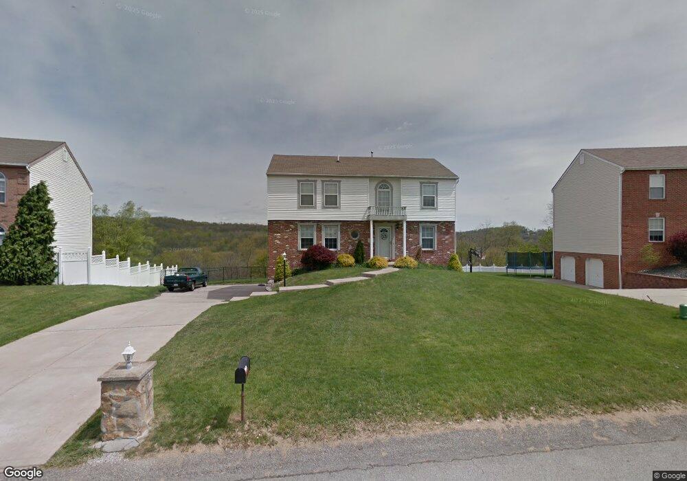
1327 Morgan Cir Canonsburg, PA 15317
Estimated Value: $372,000 - $420,000
3
Beds
3
Baths
2,200
Sq Ft
$185/Sq Ft
Est. Value
About This Home
This home is located at 1327 Morgan Cir, Canonsburg, PA 15317 and is currently estimated at $407,980, approximately $185 per square foot. 1327 Morgan Cir is a home located in Washington County with nearby schools including Canon-Mcmillan Senior High School.
Ownership History
Date
Name
Owned For
Owner Type
Purchase Details
Closed on
Jan 19, 2001
Sold by
Maronda Homes Inc
Bought by
Koszarsky Timothy A
Current Estimated Value
Home Financials for this Owner
Home Financials are based on the most recent Mortgage that was taken out on this home.
Original Mortgage
$131,800
Outstanding Balance
$47,182
Interest Rate
7.13%
Estimated Equity
$360,798
Create a Home Valuation Report for This Property
The Home Valuation Report is an in-depth analysis detailing your home's value as well as a comparison with similar homes in the area
Home Values in the Area
Average Home Value in this Area
Purchase History
| Date | Buyer | Sale Price | Title Company |
|---|---|---|---|
| Koszarsky Timothy A | $156,825 | -- |
Source: Public Records
Mortgage History
| Date | Status | Borrower | Loan Amount |
|---|---|---|---|
| Open | Koszarsky Timothy A | $131,800 |
Source: Public Records
Tax History Compared to Growth
Tax History
| Year | Tax Paid | Tax Assessment Tax Assessment Total Assessment is a certain percentage of the fair market value that is determined by local assessors to be the total taxable value of land and additions on the property. | Land | Improvement |
|---|---|---|---|---|
| 2025 | $3,976 | $232,600 | $74,200 | $158,400 |
| 2024 | $3,712 | $232,600 | $74,200 | $158,400 |
| 2023 | $3,712 | $232,600 | $74,200 | $158,400 |
| 2022 | $3,701 | $232,600 | $74,200 | $158,400 |
| 2021 | $3,701 | $232,600 | $74,200 | $158,400 |
| 2020 | $3,515 | $232,600 | $74,200 | $158,400 |
| 2019 | $3,457 | $232,600 | $74,200 | $158,400 |
| 2018 | $3,384 | $232,600 | $74,200 | $158,400 |
| 2017 | $1,209 | $232,600 | $74,200 | $158,400 |
| 2016 | $1,209 | $34,648 | $6,868 | $27,780 |
| 2015 | $3,989 | $34,648 | $6,868 | $27,780 |
| 2014 | $1,261 | $34,648 | $6,868 | $27,780 |
| 2013 | $1,261 | $34,648 | $6,868 | $27,780 |
Source: Public Records
Map
Nearby Homes
- 151 Liberty Blvd
- 118 Maple Ridge Dr
- 113 Maple Ridge Ct
- 235 Liberty Blvd
- 205 Maple Ridge Dr
- The Franklin Plan at Southpointe
- The Betsy Ross Plan at Southpointe
- The Washington Plan at Southpointe
- The Grant Plan at Southpointe
- The Hancock Plan at Southpointe
- 1029 Woodlawn Dr
- 238 Maple Ridge Dr
- 454 Independence Way
- 1009 Waterford Ct W
- 304 Maple Ridge Dr
- 310 Maple Ridge Dr
- 1047 Waterford Ct E
- 153 Twilight Dr
- 612 Hunting Creek Rd
- 93 Skyview Dr
- 1329 Morgan Cir
- 1325 Morgan Cir
- 1328 Morgan Cir
- 1331 Morgan Cir
- 1332 Morgan Cir
- 1321 Morgan Cir
- 1333 Morgan Cir
- 1212 Pioneer Trail
- 1319 Morgan Cir
- 1336 Morgan Cir
- 1318 Morgan Cir
- 1335 Morgan Cir
- 1210 Pioneer Trail
- 1317 Morgan Cir
- 1211 Pioneer Trail
- 1338 Morgan Cir
- 1316 Morgan Cir
- 3 Colonial Ct
- 1208 Pioneer Trail
- 1315 Morgan Cir