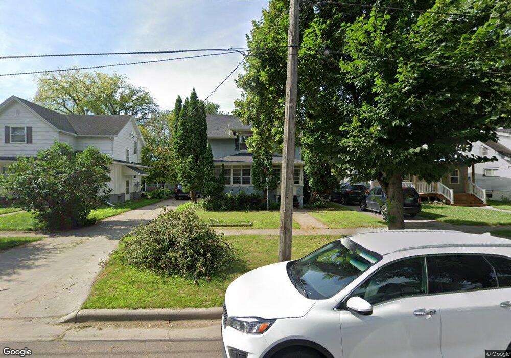
1328 10th Ave S Fargo, ND 58103
Jefferson-Carl NeighborhoodEstimated Value: $218,462 - $240,000
3
Beds
1
Bath
1,376
Sq Ft
$167/Sq Ft
Est. Value
About This Home
This home is located at 1328 10th Ave S, Fargo, ND 58103 and is currently estimated at $230,366, approximately $167 per square foot. 1328 10th Ave S is a home located in Cass County with nearby schools including Clara Barton Elementary School, Carl Ben Eielson Middle School, and South High School.
Ownership History
Date
Name
Owned For
Owner Type
Purchase Details
Closed on
Oct 15, 2010
Sold by
Schrader Scott William and Estate Of Phyllis M Schrader
Bought by
Stoner Leah N and Stoner Anthony P
Current Estimated Value
Home Financials for this Owner
Home Financials are based on the most recent Mortgage that was taken out on this home.
Original Mortgage
$115,000
Outstanding Balance
$75,539
Interest Rate
4.26%
Mortgage Type
VA
Estimated Equity
$154,827
Create a Home Valuation Report for This Property
The Home Valuation Report is an in-depth analysis detailing your home's value as well as a comparison with similar homes in the area
Home Values in the Area
Average Home Value in this Area
Purchase History
| Date | Buyer | Sale Price | Title Company |
|---|---|---|---|
| Stoner Leah N | -- | -- |
Source: Public Records
Mortgage History
| Date | Status | Borrower | Loan Amount |
|---|---|---|---|
| Open | Stoner Leah N | $115,000 |
Source: Public Records
Tax History
| Year | Tax Paid | Tax Assessment Tax Assessment Total Assessment is a certain percentage of the fair market value that is determined by local assessors to be the total taxable value of land and additions on the property. | Land | Improvement |
|---|---|---|---|---|
| 2024 | $3,452 | $113,500 | $19,050 | $94,450 |
| 2023 | $3,161 | $103,200 | $19,050 | $84,150 |
| 2022 | $3,106 | $99,250 | $19,050 | $80,200 |
| 2021 | $2,712 | $86,300 | $19,050 | $67,250 |
| 2020 | $2,699 | $86,300 | $19,050 | $67,250 |
| 2019 | $2,549 | $80,050 | $11,300 | $68,750 |
| 2018 | $2,492 | $80,050 | $11,300 | $68,750 |
| 2017 | $2,409 | $77,700 | $11,300 | $66,400 |
| 2016 | $2,164 | $75,450 | $11,300 | $64,150 |
| 2015 | $2,130 | $69,400 | $7,750 | $61,650 |
| 2014 | $2,013 | $63,100 | $7,750 | $55,350 |
| 2013 | $1,951 | $61,250 | $7,750 | $53,500 |
Source: Public Records
Map
Nearby Homes
- 1011 14th St S
- 1422 8th Ave S
- 719 15th St S
- 1330 14th St S
- 812 10th St S Unit B9
- 804 10th St S Unit A4
- 1329 14th St S
- 1301 10th St S
- 817 9th St S
- 911 8th St S
- 601 10th St S
- 1333 15th St S
- 515 10th St S
- 1625 9th Ave S
- 1410 14 1 2 St S
- 1416 14 1 2 St S
- 1622 7th Ave S
- 1345 4th Ave S
- 813 17th St S
- 904 18th St S
- 1326 10th Ave S
- 1330 10th Ave S
- 1318 10th Ave S
- 1338 10th Ave S
- 1316 10th Ave S
- 1342 10th Ave S
- 1329 11th Ave S
- 1325 11th Ave S
- 1333 11th Ave S
- 1321 11th Ave S
- 1337 11th Ave S
- 1314 10th Ave S
- 1346 10th Ave S
- 1329 10th Ave S
- 1317 11th Ave S
- 1341 11th Ave S
- 1335 10th Ave S
- 1325 10th Ave S
- 1341 10th Ave S
- 1321 10th Ave S
Your Personal Tour Guide
Ask me questions while you tour the home.