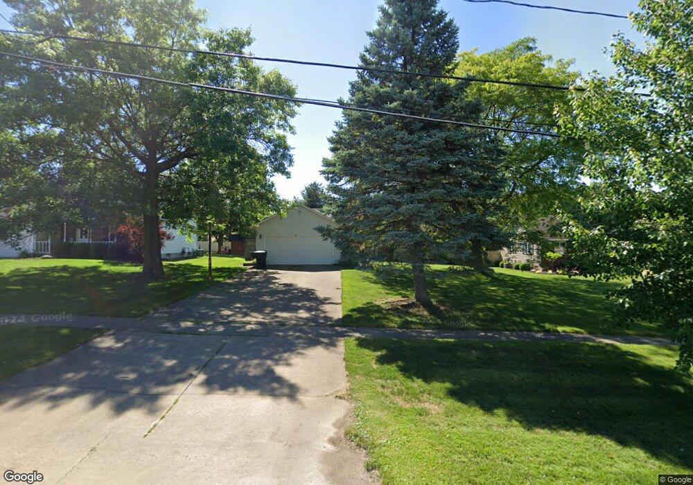
1328 State Rd Wadsworth, OH 44281
Estimated Value: $295,000 - $353,000
3
Beds
3
Baths
1,419
Sq Ft
$222/Sq Ft
Est. Value
About This Home
This home is located at 1328 State Rd, Wadsworth, OH 44281 and is currently estimated at $314,857, approximately $221 per square foot. 1328 State Rd is a home located in Medina County with nearby schools including Valley View Elementary School, Central Intermediate School, and Wadsworth Middle School.
Ownership History
Date
Name
Owned For
Owner Type
Purchase Details
Closed on
Aug 23, 2006
Sold by
Christian Timothy B
Bought by
Shumaker Cheryl and Christian Timothy B
Current Estimated Value
Purchase Details
Closed on
Mar 22, 2001
Sold by
Heltzel Robert J and Heltzel Mary L
Bought by
Christian Timothy B
Home Financials for this Owner
Home Financials are based on the most recent Mortgage that was taken out on this home.
Original Mortgage
$126,800
Interest Rate
7.03%
Create a Home Valuation Report for This Property
The Home Valuation Report is an in-depth analysis detailing your home's value as well as a comparison with similar homes in the area
Home Values in the Area
Average Home Value in this Area
Purchase History
| Date | Buyer | Sale Price | Title Company |
|---|---|---|---|
| Shumaker Cheryl | -- | -- | |
| Christian Timothy B | $158,500 | Bond & Associates Title Agen |
Source: Public Records
Mortgage History
| Date | Status | Borrower | Loan Amount |
|---|---|---|---|
| Previous Owner | Christian Timothy B | $126,800 |
Source: Public Records
Tax History
| Year | Tax Paid | Tax Assessment Tax Assessment Total Assessment is a certain percentage of the fair market value that is determined by local assessors to be the total taxable value of land and additions on the property. | Land | Improvement |
|---|---|---|---|---|
| 2024 | $3,558 | $75,270 | $21,880 | $53,390 |
| 2023 | $3,377 | $75,270 | $21,880 | $53,390 |
| 2022 | $3,388 | $75,270 | $21,880 | $53,390 |
| 2021 | $3,201 | $60,210 | $17,500 | $42,710 |
| 2020 | $3,228 | $60,210 | $17,500 | $42,710 |
| 2019 | $3,726 | $60,210 | $17,500 | $42,710 |
| 2018 | $3,787 | $56,960 | $19,760 | $37,200 |
| 2017 | $3,591 | $56,960 | $19,760 | $37,200 |
| 2016 | $2,913 | $56,960 | $19,760 | $37,200 |
| 2015 | $2,957 | $52,260 | $18,130 | $34,130 |
| 2014 | $3,084 | $52,260 | $18,130 | $34,130 |
| 2013 | $3,226 | $52,260 | $18,130 | $34,130 |
Source: Public Records
Map
Nearby Homes
- 1426 Cherry Wood Cir
- 1482 Barrymore Ln
- 4896 Ridge Rd
- 1396 Tullamore Trail
- 1411 Tullamore Trail
- 456 Weatherstone Dr
- 7565 John Arthur Ln
- 1138 Ledgestone Dr
- 7553 John Arthur Ln
- 1250 Reserve Blvd
- 1166 Reserve Blvd
- 976 Rosemarie Cir Unit 68
- 330 Deepwood Dr
- 281 Park Place Dr Unit 76
- 290 Park Place Dr Unit 72
- 681 Highland Ave
- V/L Hartman Rd
- 236 Knollwood Dr
- 1315 Fieldcrest Dr Unit 90
- 7743 Beach Rd
- 1320 State Rd
- 1336 State Rd
- 1312 State Rd
- 1323 Harmony Dr
- 1317 Harmony Dr
- 1331 Harmony Dr
- 1309 Harmony Dr
- 1352 State Rd
- 1304 State Rd
- 1303 Harmony Dr
- 1360 State Rd
- 1296 State Rd
- 1295 Harmony Dr
- 1318 Harmony Dr
- 123 Britestone Ave
- 1368 State Rd
- 1288 State Rd
- 1345 Harmony Dr
- 1287 Harmony Dr
- 121 Britestone Ave
Your Personal Tour Guide
Ask me questions while you tour the home.