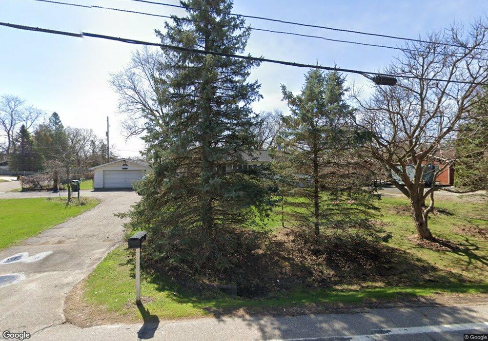
13280 10 Mile Rd South Lyon, MI 48178
Estimated Value: $236,000 - $345,000
3
Beds
1
Bath
960
Sq Ft
$303/Sq Ft
Est. Value
About This Home
This home is located at 13280 10 Mile Rd, South Lyon, MI 48178 and is currently estimated at $291,237, approximately $303 per square foot. 13280 10 Mile Rd is a home located in Livingston County with nearby schools including William A. Brummer Elementary School, Centennial Middle School, and South Lyon High School.
Ownership History
Date
Name
Owned For
Owner Type
Purchase Details
Closed on
May 5, 2000
Sold by
Kaiser Deborah K
Bought by
Kaiser Walter D
Current Estimated Value
Purchase Details
Closed on
May 17, 1995
Sold by
Cook Robert J
Bought by
Kaiser Walter D and Kaiser K
Home Financials for this Owner
Home Financials are based on the most recent Mortgage that was taken out on this home.
Original Mortgage
$85,600
Interest Rate
8.27%
Mortgage Type
New Conventional
Purchase Details
Closed on
Dec 6, 1966
Sold by
Cobb Homes Inc
Bought by
Hatfield Arthur and Hatfield Carolyn
Create a Home Valuation Report for This Property
The Home Valuation Report is an in-depth analysis detailing your home's value as well as a comparison with similar homes in the area
Home Values in the Area
Average Home Value in this Area
Purchase History
| Date | Buyer | Sale Price | Title Company |
|---|---|---|---|
| Kaiser Walter D | -- | -- | |
| Kaiser Walter D | $107,000 | -- | |
| Hatfield Arthur | -- | -- |
Source: Public Records
Mortgage History
| Date | Status | Borrower | Loan Amount |
|---|---|---|---|
| Previous Owner | Kaiser Walter D | $85,600 |
Source: Public Records
Tax History Compared to Growth
Tax History
| Year | Tax Paid | Tax Assessment Tax Assessment Total Assessment is a certain percentage of the fair market value that is determined by local assessors to be the total taxable value of land and additions on the property. | Land | Improvement |
|---|---|---|---|---|
| 2025 | $2,292 | $108,700 | $0 | $0 |
| 2024 | $1,544 | $108,400 | $0 | $0 |
| 2023 | $1,473 | $99,100 | $0 | $0 |
| 2022 | $1,862 | $78,000 | $0 | $0 |
| 2021 | $1,862 | $79,800 | $0 | $0 |
| 2020 | $1,862 | $77,400 | $0 | $0 |
| 2019 | $1,881 | $78,000 | $0 | $0 |
| 2018 | $1,855 | $82,300 | $0 | $0 |
| 2017 | $1,884 | $82,600 | $0 | $0 |
| 2016 | $1,912 | $77,000 | $0 | $0 |
| 2014 | $2,716 | $62,800 | $0 | $0 |
| 2012 | $2,716 | $57,300 | $0 | $0 |
Source: Public Records
Map
Nearby Homes
- 13428 Sequoia Ln
- 9851 Atwood Dr
- 9859 Aylebury Dr
- 9607 Larch Ln
- 13708 Monarch Dr
- 13802 Forest Ridge Cir
- 12518 Clover Ln
- 10832 Eagle Cove Dr
- 9931 Loretta Ln
- 12485 Cambridge Blvd Unit 2
- 12493 Cambridge Blvd Unit 44
- 12459 Janes Landing Unit 41
- 25 Loretta Ln Unit 25
- 48 Loretta Ln Unit 48
- 28 Loretta Ln Unit 28
- 47 Loretta Ln Unit 47
- 64 Loretta Ln Unit 64
- 12421 Cambridge Blvd Unit 4
- 124 Shannon Partin Ct
- 667 Allegheny Dr
- 13260 10 Mile Rd
- 13300 10 Mile Rd
- 10026 Pheasant Lake Rd
- 10071 Arva Ct
- 13238 10 Mile Rd
- 13322 10 Mile Rd
- 10025 Pheasant Lake Rd
- 10111 Pheasant Lake Rd
- 9945 Daleview Dr
- 10110 Pheasant Lake Rd
- 10070 Arva Ct
- 9934 Daleview Dr
- 13355 10 Mile Rd
- 13370 10 Mile Rd
- 13304 Sequoia Ln
- 10131 Pheasant Lake Rd
- 10130 Pheasant Lake Rd
- 13235 10 Mile Rd
- 13318 Sequoia Ln
- 13377 10 Mile Rd