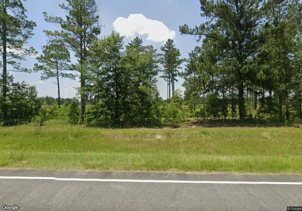
1329 Ga Highway 32 W Oakfield, GA 31772
Estimated Value: $262,000 - $381,000
3
Beds
3
Baths
2,000
Sq Ft
$170/Sq Ft
Est. Value
About This Home
This home is located at 1329 Ga Highway 32 W, Oakfield, GA 31772 and is currently estimated at $339,421, approximately $169 per square foot. 1329 Ga Highway 32 W is a home located in Worth County with nearby schools including Worth County Primary School, Worth County Elementary School, and Worth County Middle School.
Ownership History
Date
Name
Owned For
Owner Type
Purchase Details
Closed on
Feb 20, 2018
Sold by
Harrah Macey Angela Kay
Bought by
Harrah Angela Kay
Current Estimated Value
Purchase Details
Closed on
Jul 23, 2015
Sold by
Harrah Bobbie L
Bought by
Mercer Mill Plantation Llc
Purchase Details
Closed on
Jul 15, 2003
Bought by
Harrah Bobbie L
Purchase Details
Closed on
Jul 3, 1995
Sold by
Tabb Danny
Bought by
Tabb Danny
Create a Home Valuation Report for This Property
The Home Valuation Report is an in-depth analysis detailing your home's value as well as a comparison with similar homes in the area
Home Values in the Area
Average Home Value in this Area
Purchase History
| Date | Buyer | Sale Price | Title Company |
|---|---|---|---|
| Harrah Angela Kay | -- | -- | |
| Mercer Mill Plantation Llc | $4,600 | -- | |
| Harrah Bobbie L | $85,000 | -- | |
| Tabb Danny | -- | -- |
Source: Public Records
Tax History Compared to Growth
Tax History
| Year | Tax Paid | Tax Assessment Tax Assessment Total Assessment is a certain percentage of the fair market value that is determined by local assessors to be the total taxable value of land and additions on the property. | Land | Improvement |
|---|---|---|---|---|
| 2024 | $1,733 | $77,593 | $29,235 | $48,358 |
| 2023 | $1,733 | $78,953 | $29,235 | $49,718 |
| 2022 | $1,763 | $78,953 | $29,235 | $49,718 |
| 2021 | $1,735 | $78,953 | $29,235 | $49,718 |
| 2020 | $1,733 | $78,953 | $29,235 | $49,718 |
| 2019 | $1,729 | $78,953 | $29,235 | $49,718 |
| 2018 | $2,262 | $78,953 | $29,235 | $49,718 |
| 2017 | $2,262 | $78,953 | $29,235 | $49,718 |
| 2016 | $1,476 | $78,953 | $29,235 | $49,718 |
| 2015 | $1,292 | $74,734 | $25,016 | $49,718 |
| 2014 | $1,284 | $75,918 | $27,280 | $48,638 |
| 2013 | -- | $77,476 | $28,838 | $48,638 |
| 2012 | -- | $77,475 | $28,837 | $48,638 |
Source: Public Records
Map
Nearby Homes
- 0 Hall Rd
- 0 Largemouth Dr Unit 139004
- 0 S 300 Hwy Unit 59620
- 315 Nesbitt Rd
- 322 Camp Osborn Rd
- 5421 Worthy St
- 3001 Treasure Ave
- 103 Graves Springs Rd
- 0 Graves Springs Rd Unit 10347364
- 0 Garrett Rd
- 943 White Pond Rd
- 1138 Philema Rd S
- 129 Main St NW
- 0 Washington St SE
- 0 Power Dam Rd
- Lot 15 Georgia-Florida Pkwy
- 114 Lane Dr
- 173 McDonald Ct
- 888 Flournoy Rd
- 121 Melrose Way
