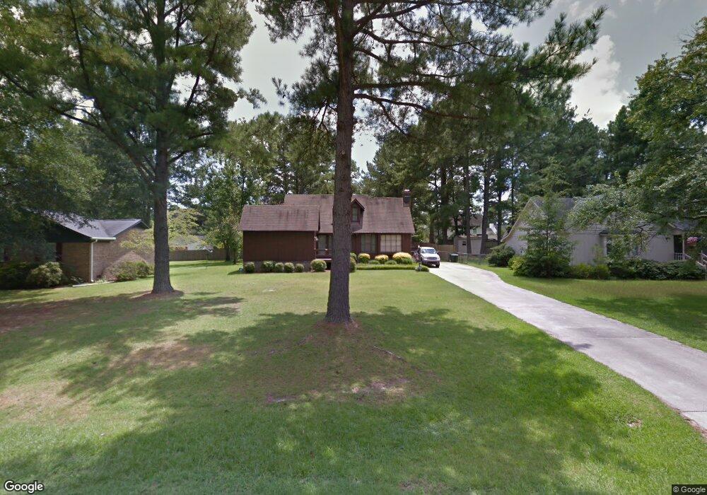
1329 McDuffers Rd Rocky Mount, NC 27804
Estimated Value: $193,000 - $230,000
3
Beds
2
Baths
1,550
Sq Ft
$132/Sq Ft
Est. Value
About This Home
This home is located at 1329 McDuffers Rd, Rocky Mount, NC 27804 and is currently estimated at $205,093, approximately $132 per square foot. 1329 McDuffers Rd is a home located in Nash County with nearby schools including Northern Nash High School, M.B. Hubbard Elementary School, and Red Oak Middle School.
Ownership History
Date
Name
Owned For
Owner Type
Purchase Details
Closed on
Mar 26, 2010
Sold by
English Gerald Alvin and English Kappi Jones
Bought by
Smith Charlie T and Smith Angela M
Current Estimated Value
Home Financials for this Owner
Home Financials are based on the most recent Mortgage that was taken out on this home.
Original Mortgage
$109,971
Outstanding Balance
$74,292
Interest Rate
5.37%
Mortgage Type
FHA
Estimated Equity
$130,801
Create a Home Valuation Report for This Property
The Home Valuation Report is an in-depth analysis detailing your home's value as well as a comparison with similar homes in the area
Home Values in the Area
Average Home Value in this Area
Purchase History
| Date | Buyer | Sale Price | Title Company |
|---|---|---|---|
| Smith Charlie T | $112,000 | None Available |
Source: Public Records
Mortgage History
| Date | Status | Borrower | Loan Amount |
|---|---|---|---|
| Open | Smith Charlie T | $109,971 |
Source: Public Records
Tax History Compared to Growth
Tax History
| Year | Tax Paid | Tax Assessment Tax Assessment Total Assessment is a certain percentage of the fair market value that is determined by local assessors to be the total taxable value of land and additions on the property. | Land | Improvement |
|---|---|---|---|---|
| 2025 | $907 | $143,690 | $37,640 | $106,050 |
| 2024 | $907 | $86,940 | $31,990 | $54,950 |
| 2023 | $585 | $86,940 | $0 | $0 |
| 2022 | $606 | $86,940 | $31,990 | $54,950 |
| 2021 | $585 | $86,940 | $31,990 | $54,950 |
| 2020 | $585 | $86,940 | $31,990 | $54,950 |
| 2019 | $585 | $86,940 | $31,990 | $54,950 |
| 2018 | $585 | $86,940 | $0 | $0 |
| 2017 | $585 | $86,940 | $0 | $0 |
| 2015 | $685 | $101,910 | $0 | $0 |
| 2014 | $685 | $101,910 | $0 | $0 |
Source: Public Records
Map
Nearby Homes
- 1132 Niblick Dr
- 1248 Drivers Cir
- 1009 Southbriar Dr
- 1512 Briar Glenn Rd
- 101 Rock Creek Ct
- 1152 Freer Dr
- 813 Greyson Rd
- 1205 Mashie Ln
- 1739 Bobwhite Ln
- 105 Ambergate Ct
- 1732 Bobwhite Ln
- 1820 Burnt Mill Rd
- 136 Ambergate Ct
- 627 Greyson Rd
- 144 Ambergate Ct
- 148 Ambergate Ct
- 145 Ambergate Ct
- 152 Ambergate Ct
- 1333 McDuffers Rd
- 1325 McDuffers Rd
- 1324 Green Tee Ln
- 1321 McDuffers Rd
- 1337 McDuffers Rd
- 1328 Green Tee Ln
- 1320 Green Tee Ln
- 1328 McDuffers Rd
- 1332 McDuffers Rd
- 1324 McDuffers Rd
- 1201 Niblick Dr
- 1317 McDuffers Rd
- 1316 Green Tee Ln
- 1332 Green Tee Ln
- 1320 McDuffers Rd
- 1205 Niblick Dr
- 1241 Opossum Trot Ln
- 1312 Green Tee Ln
- 1313 McDuffers Rd