13292 W Red Hawk Dr Peoria, AZ 85383
Estimated Value: $738,614 - $841,000
--
Bed
--
Bath
2,242
Sq Ft
$349/Sq Ft
Est. Value
About This Home
This home is located at 13292 W Red Hawk Dr, Peoria, AZ 85383 and is currently estimated at $782,154, approximately $348 per square foot. 13292 W Red Hawk Dr is a home with nearby schools including Lake Pleasant Elementary School and Liberty High School.
Ownership History
Date
Name
Owned For
Owner Type
Purchase Details
Closed on
Jan 9, 2021
Sold by
Harkin Michael J and Harkin Michele M
Bought by
Harkin Michael J and Harkin Michele
Current Estimated Value
Purchase Details
Closed on
Jul 27, 2020
Sold by
Vistancia West Marketing Lp
Bought by
Harkin Michael J and Harkin Michele M
Home Financials for this Owner
Home Financials are based on the most recent Mortgage that was taken out on this home.
Original Mortgage
$285,000
Outstanding Balance
$252,815
Interest Rate
3%
Mortgage Type
New Conventional
Estimated Equity
$529,339
Create a Home Valuation Report for This Property
The Home Valuation Report is an in-depth analysis detailing your home's value as well as a comparison with similar homes in the area
Home Values in the Area
Average Home Value in this Area
Purchase History
| Date | Buyer | Sale Price | Title Company |
|---|---|---|---|
| Harkin Michael J | -- | None Available | |
| Harkin Michael J | $532,784 | Security Title Agency | |
| Vistancia West Marketing Lp | -- | Security Title Agency Inc |
Source: Public Records
Mortgage History
| Date | Status | Borrower | Loan Amount |
|---|---|---|---|
| Open | Harkin Michael J | $285,000 |
Source: Public Records
Tax History Compared to Growth
Tax History
| Year | Tax Paid | Tax Assessment Tax Assessment Total Assessment is a certain percentage of the fair market value that is determined by local assessors to be the total taxable value of land and additions on the property. | Land | Improvement |
|---|---|---|---|---|
| 2025 | $3,407 | $35,814 | -- | -- |
| 2024 | $3,428 | $34,109 | -- | -- |
| 2023 | $3,428 | $53,600 | $10,720 | $42,880 |
| 2022 | $3,339 | $49,550 | $9,910 | $39,640 |
| 2021 | $3,497 | $43,330 | $8,660 | $34,670 |
| 2020 | $170 | $2,100 | $2,100 | $0 |
Source: Public Records
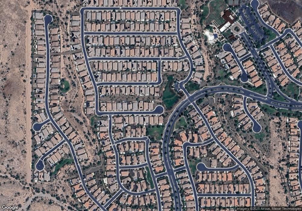
Map
Nearby Homes
- 13311 W Montansoro Ln
- 13386 W Montansoro Ln
- 30420 N 131st Dr
- 13194 W Lone Tree Trail
- 30383 N 131st Dr
- 13159 W Lone Tree Trail
- 13189 W Caleb Rd
- 12956 W Eagle Ridge Ln
- 12943 W Eagle Ridge Ln
- 12964 W Fossil Dr
- 12958 W Fossil Dr
- 13142 W Morning Vista Dr
- 29989 N Whipsaw Rd
- 29363 N 132nd Ln
- 13120 W Domino Dr
- 30641 N 137th Ave
- 29320 N 132nd Ln
- 13418 W Miner Trail
- 12904 W Chucks Ave
- 13448 W Miner Trail
- 13308 W Red Hawk Dr
- 13277 W Desert Mirage Dr
- 13291 W Red Hawk Dr
- 13283 W Red Hawk Dr
- 13299 W Red Hawk Dr
- 13316 W Red Hawk Dr
- 13265 W Desert Mirage Dr
- 13287 W Desert Mirage Dr
- 13299 W Desert Mirage Dr
- 13307 W Red Hawk Dr
- 13275 W Red Hawk Dr
- 13315 W Red Hawk Dr
- 13324 W Red Hawk Dr
- 13309 W Desert Mirage Dr
- 13321 W Desert Mirage Dr
- 13323 W Red Hawk Dr
- 13272 W Desert Mirage Dr
- 13332 W Red Hawk Dr
- 13308 W Andrew Ln
- 13331 W Desert Mirage Dr