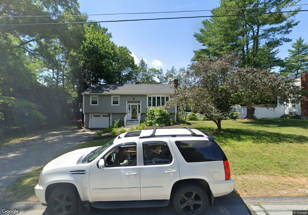
133 1st St Raynham, MA 02767
Estimated Value: $568,000 - $1,023,000
3
Beds
2
Baths
2,011
Sq Ft
$352/Sq Ft
Est. Value
About This Home
This home is located at 133 1st St, Raynham, MA 02767 and is currently estimated at $707,107, approximately $351 per square foot. 133 1st St is a home located in Bristol County with nearby schools including Merrill Elementary School, Williams Intermediate School, and Raynham Middle School.
Ownership History
Date
Name
Owned For
Owner Type
Purchase Details
Closed on
Nov 30, 1987
Sold by
Trucchi James P
Bought by
Bostrom Thor
Current Estimated Value
Create a Home Valuation Report for This Property
The Home Valuation Report is an in-depth analysis detailing your home's value as well as a comparison with similar homes in the area
Home Values in the Area
Average Home Value in this Area
Purchase History
| Date | Buyer | Sale Price | Title Company |
|---|---|---|---|
| Bostrom Thor | $167,500 | -- |
Source: Public Records
Mortgage History
| Date | Status | Borrower | Loan Amount |
|---|---|---|---|
| Open | Bostrom Thor | $137,600 | |
| Closed | Bostrom Thor | $106,500 | |
| Closed | Bostrom Thor | $34,000 |
Source: Public Records
Tax History Compared to Growth
Tax History
| Year | Tax Paid | Tax Assessment Tax Assessment Total Assessment is a certain percentage of the fair market value that is determined by local assessors to be the total taxable value of land and additions on the property. | Land | Improvement |
|---|---|---|---|---|
| 2025 | $6,553 | $541,600 | $208,500 | $333,100 |
| 2024 | $6,492 | $522,700 | $189,600 | $333,100 |
| 2023 | $5,951 | $437,600 | $170,600 | $267,000 |
| 2022 | $5,933 | $400,100 | $161,100 | $239,000 |
| 2021 | $5,609 | $381,800 | $151,600 | $230,200 |
| 2020 | $5,293 | $367,300 | $144,100 | $223,200 |
| 2019 | $5,091 | $357,800 | $134,600 | $223,200 |
| 2018 | $4,670 | $313,400 | $127,000 | $186,400 |
| 2017 | $4,174 | $277,700 | $121,300 | $156,400 |
| 2016 | $4,103 | $273,900 | $117,500 | $156,400 |
| 2015 | $3,949 | $259,100 | $122,500 | $136,600 |
Source: Public Records
Map
Nearby Homes
- 123 Center St
- 2 Maplewood Ln Unit 21-1
- 0 Maplewood Unit 21.3 73426136
- 0 Maplewood Unit 33-1 73420094
- 63 Vaillancourt St
- 17 Lisa Dr
- 65 Lothrop St
- 9 Abbey Ln
- 46 Sylvain St
- 18 Garfield St
- 47 Fairbanks Rd
- 12 Oxford St
- 84 Diniz Dr
- 43 Avon St
- 13 Daisy Ave
- 5 New Carver St
- 28 Madison St
- 138 Carver St
- 3 4th Ave
- 3 4th Ave Unit 1