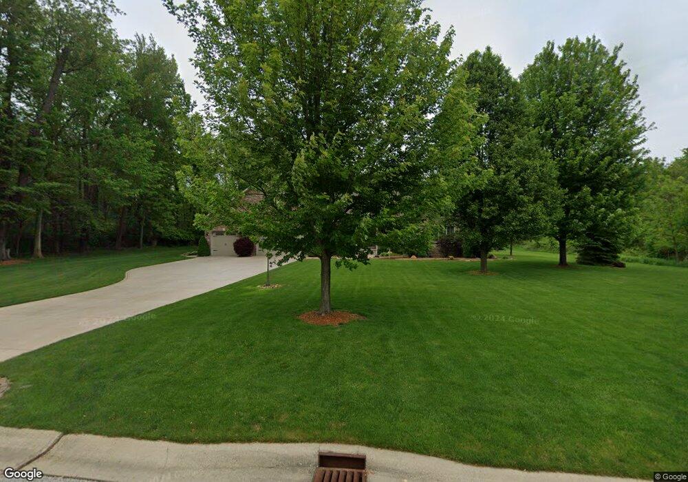
133 Acorn Dr Valparaiso, IN 46385
Estimated Value: $570,000 - $745,000
3
Beds
3
Baths
2,772
Sq Ft
$235/Sq Ft
Est. Value
About This Home
This home is located at 133 Acorn Dr, Valparaiso, IN 46385 and is currently estimated at $652,014, approximately $235 per square foot. 133 Acorn Dr is a home located in Porter County with nearby schools including Cooks Corners Elementary School, Ben Franklin Middle School, and Valparaiso High School.
Ownership History
Date
Name
Owned For
Owner Type
Purchase Details
Closed on
Nov 12, 2007
Sold by
Stasny Robert J and Stasny Barbara S
Bought by
Stasny Robert J and Stasny Barbara S
Current Estimated Value
Purchase Details
Closed on
Jul 6, 2006
Sold by
Preferred Development Llc
Bought by
Stasny Robert J and Stasny Barbara S
Home Financials for this Owner
Home Financials are based on the most recent Mortgage that was taken out on this home.
Original Mortgage
$68,720
Interest Rate
6.72%
Mortgage Type
Purchase Money Mortgage
Create a Home Valuation Report for This Property
The Home Valuation Report is an in-depth analysis detailing your home's value as well as a comparison with similar homes in the area
Home Values in the Area
Average Home Value in this Area
Purchase History
| Date | Buyer | Sale Price | Title Company |
|---|---|---|---|
| Stasny Robert J | -- | None Available | |
| Stasny Robert J | -- | Ticor Title Insurance |
Source: Public Records
Mortgage History
| Date | Status | Borrower | Loan Amount |
|---|---|---|---|
| Closed | Stasny Robert J | $68,720 |
Source: Public Records
Tax History Compared to Growth
Tax History
| Year | Tax Paid | Tax Assessment Tax Assessment Total Assessment is a certain percentage of the fair market value that is determined by local assessors to be the total taxable value of land and additions on the property. | Land | Improvement |
|---|---|---|---|---|
| 2024 | $5,295 | $616,200 | $89,700 | $526,500 |
| 2023 | $5,256 | $592,500 | $83,800 | $508,700 |
| 2022 | $5,116 | $535,400 | $83,800 | $451,600 |
| 2021 | $4,866 | $452,900 | $83,800 | $369,100 |
| 2020 | $4,842 | $443,400 | $79,800 | $363,600 |
| 2019 | $5,043 | $447,600 | $79,800 | $367,800 |
| 2018 | $4,990 | $440,900 | $79,800 | $361,100 |
| 2017 | $4,818 | $475,000 | $79,800 | $395,200 |
| 2016 | $4,324 | $418,000 | $77,400 | $340,600 |
| 2014 | $3,654 | $418,000 | $77,400 | $340,600 |
| 2013 | -- | $493,500 | $89,700 | $403,800 |
Source: Public Records
Map
Nearby Homes
- 126 W 625 N
- 575 Queenswood Rd N
- 611 Bayberry Ct
- 625 Deer Meadow Trail
- 579 Fleetwood Dr N
- 552 Fleetwood Dr N
- 513 Kinsale Ct
- 643 N 50 W
- S-2444-3 Sedona Plan at Magnolia Meadows
- S-1965-2 Sage Plan at Magnolia Meadows
- S-2397-2 Olympia Plan at Magnolia Meadows
- S-3142-3 Willow Plan at Magnolia Meadows
- S-2820-3 Rowan Plan at Magnolia Meadows
- S-1903-2 Hudson Plan at Magnolia Meadows
- 549 Marilyn Way
- 667 Gainesway Circle Rd
- 694 N 50 W
- 210 Sweetbay St
- 561 Fox Burrow Ct
- 229 W 550 N