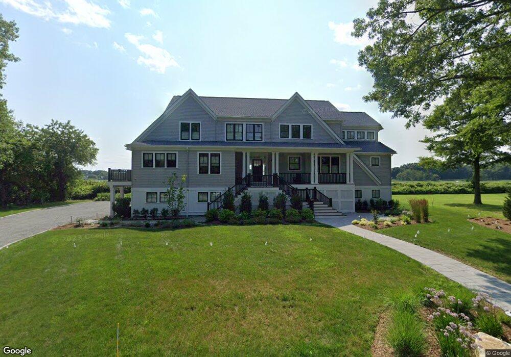
133 Adams Point Rd Barrington, RI 02806
Rumstick NeighborhoodEstimated Value: $2,857,000 - $4,019,904
4
Beds
5
Baths
5,026
Sq Ft
$714/Sq Ft
Est. Value
About This Home
This home is located at 133 Adams Point Rd, Barrington, RI 02806 and is currently estimated at $3,586,301, approximately $713 per square foot. 133 Adams Point Rd is a home with nearby schools including Barrington High School, Barrington Christian Academy, and St. Andrews School.
Ownership History
Date
Name
Owned For
Owner Type
Purchase Details
Closed on
May 14, 2004
Sold by
Kroll Elizabeth
Bought by
Adams Pt Barrington Ll
Current Estimated Value
Home Financials for this Owner
Home Financials are based on the most recent Mortgage that was taken out on this home.
Original Mortgage
$2,250,000
Outstanding Balance
$1,052,704
Interest Rate
5.47%
Mortgage Type
Purchase Money Mortgage
Estimated Equity
$2,533,597
Create a Home Valuation Report for This Property
The Home Valuation Report is an in-depth analysis detailing your home's value as well as a comparison with similar homes in the area
Home Values in the Area
Average Home Value in this Area
Purchase History
| Date | Buyer | Sale Price | Title Company |
|---|---|---|---|
| Adams Pt Barrington Ll | $2,250,000 | -- |
Source: Public Records
Mortgage History
| Date | Status | Borrower | Loan Amount |
|---|---|---|---|
| Open | Adams Pt Barrington Ll | $2,250,000 |
Source: Public Records
Tax History Compared to Growth
Tax History
| Year | Tax Paid | Tax Assessment Tax Assessment Total Assessment is a certain percentage of the fair market value that is determined by local assessors to be the total taxable value of land and additions on the property. | Land | Improvement |
|---|---|---|---|---|
| 2025 | $41,050 | $2,676,000 | $1,079,000 | $1,597,000 |
| 2024 | $39,619 | $2,686,000 | $1,079,000 | $1,607,000 |
| 2023 | $28,136 | $1,386,000 | $622,000 | $764,000 |
| 2022 | $26,763 | $1,362,000 | $622,000 | $740,000 |
| 2021 | $17,369 | $907,000 | $622,000 | $285,000 |
| 2020 | $11,516 | $551,000 | $551,000 | $0 |
| 2019 | $11,075 | $551,000 | $551,000 | $0 |
| 2018 | $10,745 | $551,000 | $551,000 | $0 |
| 2017 | $10,892 | $544,600 | $544,600 | $0 |
| 2016 | $10,048 | $544,600 | $544,600 | $0 |
| 2015 | $9,939 | $544,600 | $544,600 | $0 |
| 2014 | $13,780 | $753,000 | $753,000 | $0 |
Source: Public Records
Map
Nearby Homes
- 49 Bridge St
- 53 Bagy Wrinkle Cove
- 5 Saint Mary’s Way
- 430 Water St
- 35 Bagy Wrinkle Cove
- 39 Broad St
- 72 Highland Ave
- 18 Hanley Farm Rd
- 7 Lee Rd
- 200 Arboretum Ln
- 148 Windward Ln
- 143 Windward Ln
- 94 Child St
- 5 Boxwood Ct
- 27 Barney St
- 506 Clarks Row
- 21 Federal St
- 115 Market St
- 11 Mathewson Rd
- 10 Jesse Davis Ln
- 127 Adams Point Rd
- 131 Adams Point Rd
- 125 Adams Point Rd
- 138 Adams Point Rd
- 140 Adams Point Rd
- 139 Adams Point Rd
- 132 Adams Point Rd
- 128 Adams Point Rd
- 124 Adams Point Rd
- 123 Adams Point Rd
- 134 Adams Point Rd
- 121 Adams Point Rd
- 122 Adams Point Rd
- 160 Adams Point Rd
- 170 Adams Point Rd
- 99 Adams Point Rd
- 178 Adams Point Rd
- 100 Adams Point Rd
- 80 Adams Point Rd
- 71 Adams Point Rd