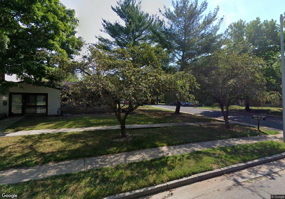
133 Amberly Dr Unit A Manalapan, NJ 07726
Estimated Value: $315,000 - $328,731
2
Beds
2
Baths
1,158
Sq Ft
$279/Sq Ft
Est. Value
About This Home
This home is located at 133 Amberly Dr Unit A, Manalapan, NJ 07726 and is currently estimated at $323,183, approximately $279 per square foot. 133 Amberly Dr Unit A is a home located in Monmouth County with nearby schools including Milford Brook Elementary School, Pine Brook Elementary School, and Manalapan-Englishtown Middle School.
Ownership History
Date
Name
Owned For
Owner Type
Purchase Details
Closed on
Nov 17, 2021
Sold by
Raskin Ronald
Bought by
Carara James V and Carara Noreen
Current Estimated Value
Purchase Details
Closed on
May 1, 2012
Sold by
Raskin Ronald
Bought by
Raskin Ronald
Purchase Details
Closed on
Jan 18, 2008
Sold by
Behar Alan and Kasten Dr Edwin
Bought by
Raskin Harriet and Raskin Ronald
Create a Home Valuation Report for This Property
The Home Valuation Report is an in-depth analysis detailing your home's value as well as a comparison with similar homes in the area
Home Values in the Area
Average Home Value in this Area
Purchase History
| Date | Buyer | Sale Price | Title Company |
|---|---|---|---|
| Carara James V | $235,000 | Professional Abstract & Ttl | |
| Raskin Ronald | -- | Commonwealth Land Title Insu | |
| Raskin Harriet | $170,000 | Commonwealth Land Title Insu |
Source: Public Records
Tax History Compared to Growth
Tax History
| Year | Tax Paid | Tax Assessment Tax Assessment Total Assessment is a certain percentage of the fair market value that is determined by local assessors to be the total taxable value of land and additions on the property. | Land | Improvement |
|---|---|---|---|---|
| 2025 | $5,260 | $325,500 | $145,000 | $180,500 |
| 2024 | $4,766 | $311,600 | $153,000 | $158,600 |
| 2023 | $4,766 | $286,400 | $153,000 | $133,400 |
| 2022 | $4,027 | $242,000 | $115,000 | $127,000 |
| 2021 | $4,027 | $194,000 | $81,000 | $113,000 |
| 2020 | $3,866 | $188,300 | $76,000 | $112,300 |
| 2019 | $3,917 | $190,600 | $75,000 | $115,600 |
| 2018 | $3,621 | $175,200 | $65,000 | $110,200 |
| 2017 | $3,616 | $175,000 | $69,500 | $105,500 |
| 2016 | $3,310 | $162,100 | $58,000 | $104,100 |
| 2015 | $3,220 | $156,000 | $54,500 | $101,500 |
| 2014 | $2,794 | $131,800 | $30,000 | $101,800 |
Source: Public Records
Map
Nearby Homes
- 154 Cross Slope Ct Unit G
- 162 Cross Slope Ct Unit K
- 181 Arrowood Rd Unit D
- 148 Amberly Dr Unit J
- 150 Amberly Dr Unit A
- 86 Arrowood Rd Unit B
- 167 Amberly Dr Unit H
- 224 Medford Ct Unit B
- 84 Amberly Dr Unit J
- 205 Covered Bridge Blvd Unit K
- 204 Covered Bridge Blvd Unit F
- 75 Overlook Way Unit K
- 230 Medford Ct Unit C
- 218 Medford Ct Unit A
- 236 Medford Ct Unit G
- 54 Amberly Dr Unit G
- 30 Meadow Green Cir Unit E
- 70 Overlook Way Unit E
- 29 Meadow Green Cir Unit A
- 5 Yeoman Way
- 133 Amberly Dr Unit D
- 133 Amberly Dr Unit C
- 133 Amberly Dr Unit B
- 155 Cross Slope Ct Unit K
- 155 Cross Slope Ct Unit F
- 155 Cross Slope Ct Unit D
- 155 Cross Slope Ct Unit A
- 155 Cross Slope Ct Unit E
- 155 Cross Slope Ct Unit J
- 155 Cross Slope Ct Unit H
- 155 Cross Slope Ct Unit G
- 155 Cross Slope Ct Unit C
- 155 Cross Slope Ct Unit B
- 134 Amberly Dr Unit E
- 134 Amberly Dr Unit D
- 134 Amberly Dr Unit G
- 134 Amberly Dr Unit B
- 134 Amberly Dr Unit A
- 134 Amberly Dr Unit F
- 134 Amberly Dr Unit C