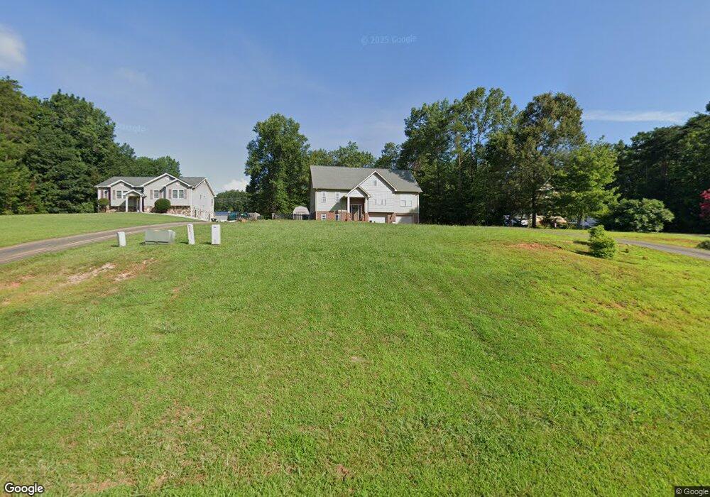
133 Armistead Ln Rustburg, VA 24588
Estimated Value: $303,527 - $350,000
3
Beds
2
Baths
1,320
Sq Ft
$248/Sq Ft
Est. Value
About This Home
This home is located at 133 Armistead Ln, Rustburg, VA 24588 and is currently estimated at $327,632, approximately $248 per square foot. 133 Armistead Ln is a home located in Campbell County with nearby schools including Rustburg Elementary School, Rustburg Middle School, and Rustburg High School.
Ownership History
Date
Name
Owned For
Owner Type
Purchase Details
Closed on
Jan 24, 2011
Sold by
Ahrens Construction Company
Bought by
Turner David C
Current Estimated Value
Home Financials for this Owner
Home Financials are based on the most recent Mortgage that was taken out on this home.
Original Mortgage
$177,202
Outstanding Balance
$119,883
Interest Rate
4.62%
Mortgage Type
New Conventional
Estimated Equity
$207,749
Create a Home Valuation Report for This Property
The Home Valuation Report is an in-depth analysis detailing your home's value as well as a comparison with similar homes in the area
Purchase History
| Date | Buyer | Sale Price | Title Company |
|---|---|---|---|
| Turner David C | $171,000 | -- |
Source: Public Records
Mortgage History
| Date | Status | Borrower | Loan Amount |
|---|---|---|---|
| Open | Turner David C | $177,202 |
Source: Public Records
Tax History
| Year | Tax Paid | Tax Assessment Tax Assessment Total Assessment is a certain percentage of the fair market value that is determined by local assessors to be the total taxable value of land and additions on the property. | Land | Improvement |
|---|---|---|---|---|
| 2025 | $1,187 | $263,800 | $40,000 | $223,800 |
| 2024 | $1,187 | $263,800 | $40,000 | $223,800 |
| 2023 | $1,187 | $263,800 | $40,000 | $223,800 |
| 2022 | $932 | $179,300 | $36,000 | $143,300 |
| 2021 | $932 | $179,300 | $36,000 | $143,300 |
| 2020 | $932 | $179,300 | $36,000 | $143,300 |
| 2019 | $932 | $179,300 | $36,000 | $143,300 |
| 2018 | $940 | $180,800 | $32,000 | $148,800 |
| 2017 | $940 | $180,800 | $32,000 | $148,800 |
| 2016 | $940 | $180,800 | $32,000 | $148,800 |
| 2015 | -- | $180,800 | $32,000 | $148,800 |
| 2014 | -- | $181,200 | $39,000 | $142,200 |
Source: Public Records
Map
Nearby Homes
- 181 Armistead Ln
- 144 Armistead Ln
- 20 Semmes Ct
- 2638 Sunnymeade Rd Unit A&B
- 2618 Sunnymeade Rd Unit A&B
- 2443 Sunnymeade Rd
- 211 Dove Dr
- 139 Reynolds Dr
- 521 Mantle Dr
- 151 Wilderness Rd
- 130 Delaney Dr
- 22 Mantle Dr
- 112 Ford Terrace
- 1311 English Tavern Rd
- 93 English Commons Dr
- 12 Shore Line Dr
- 33 Ranwell Rd
- 70 Shotman Rd
- 102-B Ranwell Rd
- 102 Shotman Rd
- 151 Armistead Ln
- 0 Armistead Ln Unit 278337
- 0 Armistead Ln Unit 278335
- 0 Armistead Ln Unit 278336
- 0 Armistead Ln Unit 278334
- 0 Armistead Ln Unit 278332
- 0 Armistead Ln Unit 278321
- 0 Armistead Ln Unit 278319
- 0 Armistead Ln Unit 278317
- 0 Armistead Ln Unit 278315
- 0 Armistead Ln Unit 278310
- 0 Armistead Ln Unit 278307
- 0 Armistead Ln Unit 278376
- 0 Armistead Ln Unit 328790
- 0 Armistead Ln Unit 328789
- 0 Armistead Ln Unit 340365
- 0 Armistead Ln Unit 837133
- 39 Mosby Ct
- 106 Armistead Ln
- 128 Armistead Ln
Your Personal Tour Guide
Ask me questions while you tour the home.