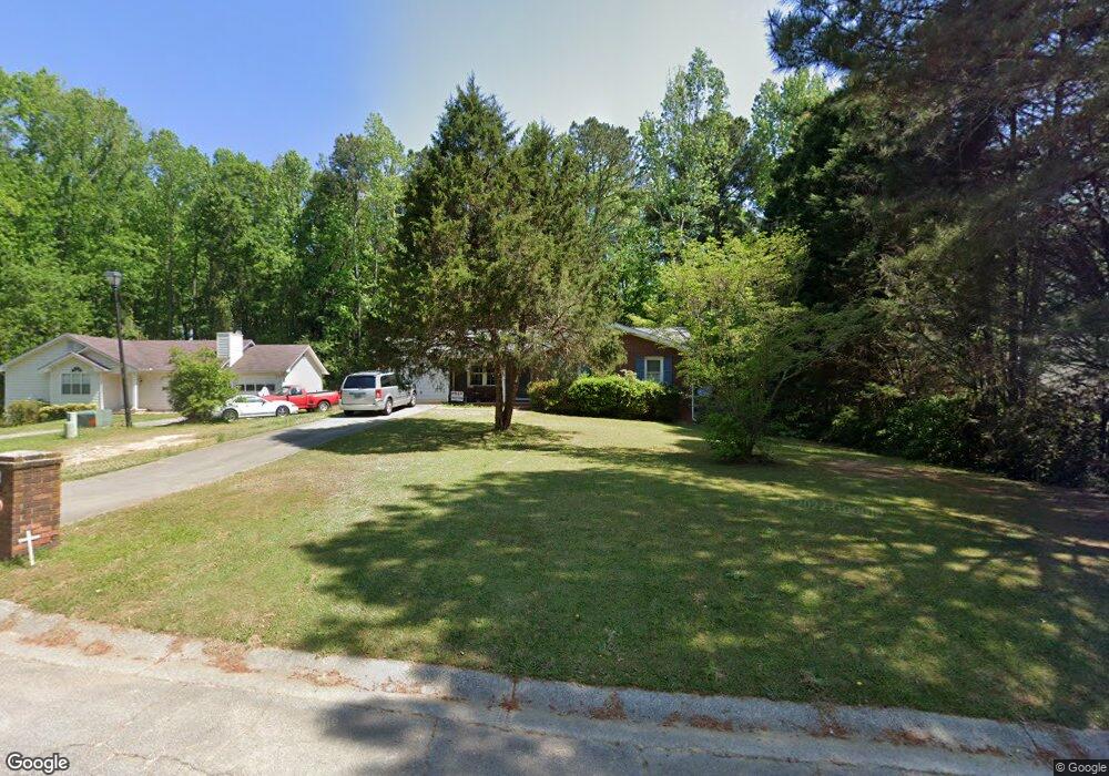
133 Ashwood Way Unit 3 Winder, GA 30680
Estimated Value: $281,607 - $307,000
--
Bed
2
Baths
1,321
Sq Ft
$222/Sq Ft
Est. Value
About This Home
This home is located at 133 Ashwood Way Unit 3, Winder, GA 30680 and is currently estimated at $292,652, approximately $221 per square foot. 133 Ashwood Way Unit 3 is a home located in Barrow County with nearby schools including County Line Elementary School, Russell Middle School, and Winder-Barrow High School.
Ownership History
Date
Name
Owned For
Owner Type
Purchase Details
Closed on
Aug 22, 2003
Sold by
Smith Kenneth A and Smith Diane
Bought by
Shelton Charles T and Shelton Regina
Current Estimated Value
Home Financials for this Owner
Home Financials are based on the most recent Mortgage that was taken out on this home.
Original Mortgage
$102,864
Outstanding Balance
$44,967
Interest Rate
5.52%
Mortgage Type
FHA
Estimated Equity
$247,685
Purchase Details
Closed on
Sep 14, 1992
Bought by
Brown Anthony J And
Create a Home Valuation Report for This Property
The Home Valuation Report is an in-depth analysis detailing your home's value as well as a comparison with similar homes in the area
Home Values in the Area
Average Home Value in this Area
Purchase History
| Date | Buyer | Sale Price | Title Company |
|---|---|---|---|
| Shelton Charles T | $104,500 | -- | |
| Brown Anthony J And | $56,600 | -- |
Source: Public Records
Mortgage History
| Date | Status | Borrower | Loan Amount |
|---|---|---|---|
| Open | Shelton Charles T | $102,864 |
Source: Public Records
Tax History Compared to Growth
Tax History
| Year | Tax Paid | Tax Assessment Tax Assessment Total Assessment is a certain percentage of the fair market value that is determined by local assessors to be the total taxable value of land and additions on the property. | Land | Improvement |
|---|---|---|---|---|
| 2024 | $2,238 | $81,892 | $20,800 | $61,092 |
| 2023 | $1,755 | $81,892 | $20,800 | $61,092 |
| 2022 | $1,981 | $60,320 | $17,200 | $43,120 |
| 2021 | $1,768 | $52,678 | $12,000 | $40,678 |
| 2020 | $1,536 | $46,576 | $12,000 | $34,576 |
| 2019 | $1,288 | $38,473 | $10,000 | $28,473 |
| 2018 | $1,282 | $38,473 | $10,000 | $28,473 |
| 2017 | $894 | $29,966 | $8,800 | $21,166 |
| 2016 | $842 | $28,575 | $8,800 | $19,775 |
| 2015 | $851 | $28,824 | $8,800 | $20,024 |
| 2014 | $723 | $25,760 | $5,488 | $20,272 |
| 2013 | -- | $24,830 | $5,488 | $19,342 |
Source: Public Records
Map
Nearby Homes
- 926 Live Oak Ct Unit 2
- 980 Lake Rockwell Way
- 469 Plantation Dr
- 615 Wellington Dr
- 0 E Northcrest Dr Unit 10648147
- 412 Regan Dr
- 623 Teal Dr
- 746 Baskins Cir
- 401 N 5th Ave
- 436 Northcrest Dr
- 27 Creekside Dr
- 713 Mallard Dr
- 381 W Candler St
- 300 Hyde Park
- 290 Hyde Park
- 642 Teal Dr
- The Paisley Plan at Rockwell Farms
- The Rockwell Plan at Rockwell Farms
- The Barnes Plan at Rockwell Farms
- 135 Ashwood Way
- 131 Ashwood Way
- 131 Ashwood Way Unit 6
- 0 Ashwood Way Unit 8776939
- 0 Ashwood Way Unit 8814721
- 0 Ashwood Way Unit 8870709
- 0 Ashwood Way Unit 7337603
- 0 Ashwood Way Unit 7347034
- 0 Ashwood Way Unit 7349929
- 0 Ashwood Way Unit 7382524
- 0 Ashwood Way Unit 7410833
- 0 Ashwood Way Unit 8031643
- 0 Ashwood Way Unit 8165892
- 131 Ashwood Ct Unit 3
- 137 Ashwood Way
- 134 Ashwood Way
- 129 Ashwood Way
- 144 Ashwood Way
- 144 Ashwood Way Unit 16 UNIT4
- 139 Ashwood Way