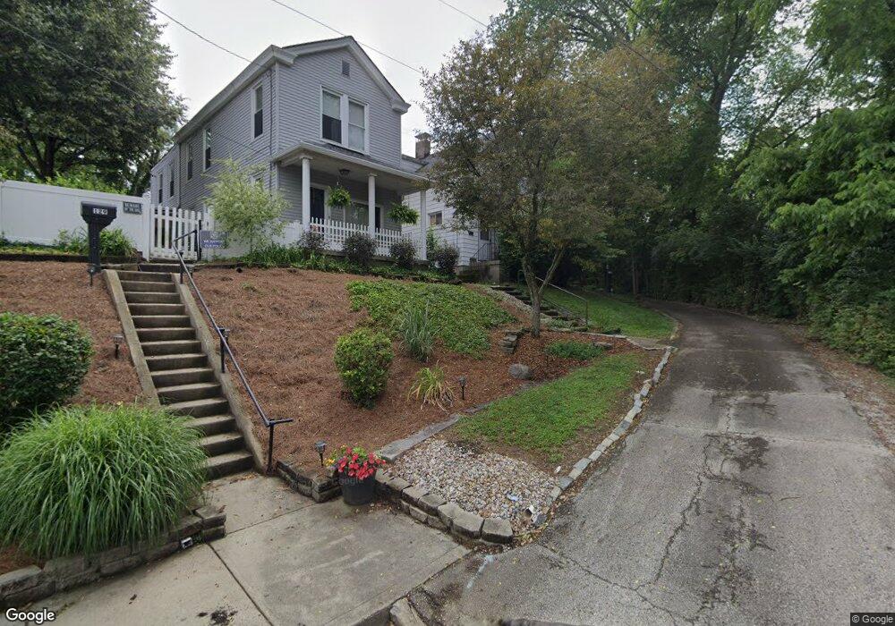
133 Baker Ave Cincinnati, OH 45217
Estimated Value: $170,732 - $200,000
2
Beds
2
Baths
1,243
Sq Ft
$146/Sq Ft
Est. Value
About This Home
This home is located at 133 Baker Ave, Cincinnati, OH 45217 and is currently estimated at $180,933, approximately $145 per square foot. 133 Baker Ave is a home located in Hamilton County with nearby schools including St Bernard Elementary School, St Bernard-Elmwood Place High School, and The New School Montessori.
Ownership History
Date
Name
Owned For
Owner Type
Purchase Details
Closed on
Jun 30, 2025
Sold by
Berger Karla A and Berger Thomas J
Bought by
Underwood Karen L
Current Estimated Value
Purchase Details
Closed on
Apr 1, 2013
Sold by
Underwood Karen L and Berger Karla A
Bought by
Underwood Karen L and Berger Karla A
Purchase Details
Closed on
Feb 9, 2000
Sold by
Rhodeback Jean C and Endter Jean
Bought by
Rhodeback Jean C and The Jean C Rhodeback Trust
Create a Home Valuation Report for This Property
The Home Valuation Report is an in-depth analysis detailing your home's value as well as a comparison with similar homes in the area
Home Values in the Area
Average Home Value in this Area
Purchase History
| Date | Buyer | Sale Price | Title Company |
|---|---|---|---|
| Underwood Karen L | $60,555 | None Listed On Document | |
| Underwood Karen L | -- | Attorney | |
| Rhodeback Jean C | -- | -- |
Source: Public Records
Tax History
| Year | Tax Paid | Tax Assessment Tax Assessment Total Assessment is a certain percentage of the fair market value that is determined by local assessors to be the total taxable value of land and additions on the property. | Land | Improvement |
|---|---|---|---|---|
| 2025 | $2,513 | $39,659 | $8,911 | $30,748 |
| 2024 | $2,484 | $39,659 | $8,911 | $30,748 |
| 2023 | $2,536 | $39,659 | $8,911 | $30,748 |
| 2022 | $1,707 | $20,791 | $6,955 | $13,836 |
| 2021 | $1,700 | $20,791 | $6,955 | $13,836 |
| 2020 | $1,638 | $20,791 | $6,955 | $13,836 |
| 2019 | $1,530 | $17,770 | $5,943 | $11,827 |
| 2018 | $1,553 | $17,770 | $5,943 | $11,827 |
| 2017 | $1,459 | $17,770 | $5,943 | $11,827 |
| 2016 | $1,482 | $17,868 | $7,000 | $10,868 |
| 2015 | $1,378 | $17,868 | $7,000 | $10,868 |
| 2014 | $1,375 | $17,868 | $7,000 | $10,868 |
| 2013 | $1,480 | $19,779 | $7,368 | $12,411 |
Source: Public Records
Map
Nearby Homes
- 44 Baker Ave
- 326 Bank Ave
- 27 Phillips Ave
- 4412 Vine St
- 36 Wuest St
- 4409 Sullivan Ave
- 320 Mcclelland Ave
- 406 Washington Ave
- 421 Jefferson Ave
- 24 Parkwood Place
- 38 Clinton Springs Ave
- 504 Orient Ave
- 547 Flatt Terrace
- 3923 Wess Park Dr
- 622 Orient Ave
- 509 E Epworth Ave
- 5128 Imwalle Ave
- 20 Glenwood Ave
- 710 E Ross Ave
- 5140 Imwalle Ave
Your Personal Tour Guide
Ask me questions while you tour the home.