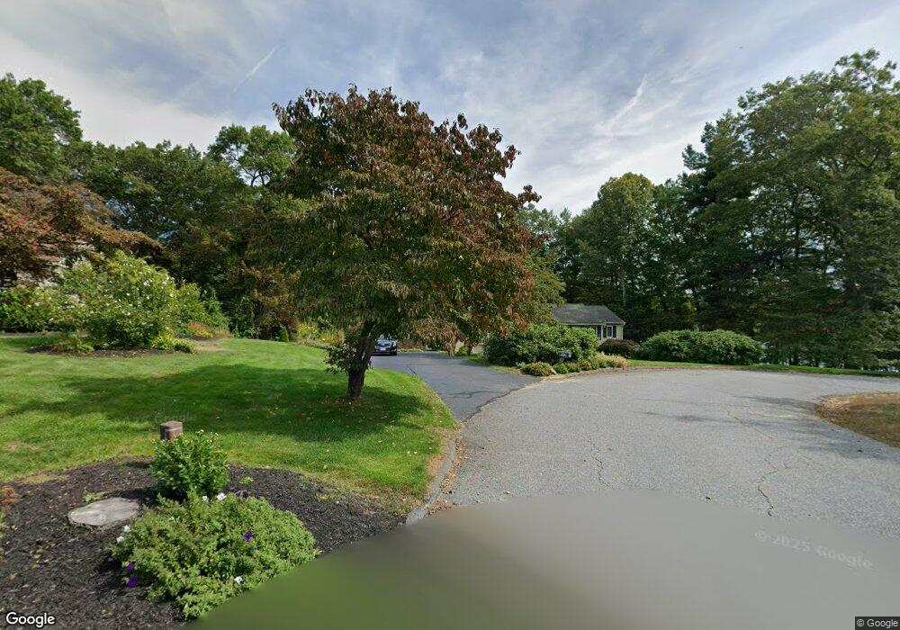
133 Beach Point Rd Lancaster, MA 01523
Estimated Value: $598,000 - $651,000
About This Home
This home is located at 133 Beach Point Rd, Lancaster, MA 01523 and is currently estimated at $620,225, approximately $360 per square foot. 133 Beach Point Rd is a home located in Worcester County with nearby schools including Mary Rowlandson Elementary School, Luther Burbank Middle School, and Nashoba Regional High School.
Ownership History
We collect this data history from publicly available records. To have your information removed, we recommend requesting removal directly through your county’s website.
Purchase Details
Purchase Details
Home Values in the Area
Average Home Value in this Area
Purchase History
We collect this data history from publicly available records. To have your information removed, we recommend requesting removal directly through your county’s website.
| Date | Buyer | Sale Price | Title Company |
|---|---|---|---|
| -- | -- | ||
| -- | -- |
Mortgage History
We collect this data history from publicly available records. To have your information removed, we recommend requesting removal directly through your county’s website.
| Date | Status | Borrower | Loan Amount |
|---|---|---|---|
| Previous Owner | $95,000 | ||
| Previous Owner | $102,000 | ||
| Previous Owner | $120,000 |
Tax History
We collect this data history from publicly available records. To have your information removed, we recommend requesting removal directly through your county’s website.
| Year | Tax Paid | Tax Assessment Tax Assessment Total Assessment is a certain percentage of the fair market value that is determined by local assessors to be the total taxable value of land and additions on the property. | Land | Improvement |
|---|---|---|---|---|
| 2025 | $9,631 | $596,000 | $118,700 | $477,300 |
| 2024 | $9,799 | $561,200 | $110,500 | $450,700 |
| 2023 | $9,037 | $525,700 | $100,500 | $425,200 |
| 2022 | $8,381 | $430,900 | $103,100 | $327,800 |
| 2021 | $8,154 | $408,100 | $103,100 | $305,000 |
| 2020 | $8,158 | $411,000 | $103,100 | $307,900 |
| 2019 | $5,977 | $378,100 | $103,100 | $275,000 |
| 2018 | $6,915 | $346,100 | $103,100 | $243,000 |
| 2016 | $6,332 | $323,900 | $102,100 | $221,800 |
| 2015 | $5,999 | $319,800 | $102,100 | $217,700 |
| 2014 | $5,834 | $308,500 | $102,100 | $206,400 |
Map
- 12 Cole Farm Rd
- 97 Fitch Rd
- 155 Fitch Rd
- 146 S Main St Unit 1D
- 97 Sterling St
- 22 Front St
- 386 Main St
- 59 S Meadow Rd
- 103 Brook St
- 30 S Meadow Rd
- 540 Main St Unit 101
- 6 Nelson St
- 55 Sterling St Unit 306
- 55 Sterling St Unit 112
- 55 Sterling St Unit 314
- 55 Sterling St Unit 208
- 55 Sterling St Unit 305
- 112 School St
- 719 Main St
- 57 Clark St
- 100 Beach Point Rd
- 123 Beach Point Rd
- 88 Beachpoint Rd
- 88 Beach Point Rd
- 115 Beach Point Rd
- 643 S Meadow Rd
- 87 Beachpoint Rd
- 99 Beach Point Rd
- 74 Beachpoint Rd
- 631 S Meadow Rd
- 617 S Meadow Rd
- 63 Beachpoint Rd
- 0 S Meadow 1a 2a 3a Unit 30208318
- 56 Beachpoint Rd
- 2 S Meadow Rd
- 10 S Meadow Rd
- 12 S Meadow Rd
- 7 S Meadow Rd
- 9 S Meadow Rd
- 11 S Meadow Rd
Ask me questions while you tour the home.