133 Bennett Rd Bloomsburg, PA 17815
Estimated Value: $254,000 - $347,000
--
Bed
--
Bath
1,592
Sq Ft
$183/Sq Ft
Est. Value
About This Home
This home is located at 133 Bennett Rd, Bloomsburg, PA 17815 and is currently estimated at $291,660, approximately $183 per square foot. 133 Bennett Rd is a home located in Columbia County with nearby schools including Millville Area Elementary School, Millville Area Junior/Senior High School, and County Line Parochial School.
Ownership History
Date
Name
Owned For
Owner Type
Purchase Details
Closed on
Dec 29, 2015
Sold by
Bowman Deborah J and Estate Of Dale M Stiner
Bought by
Long Matthew J and Long Jamie A
Current Estimated Value
Home Financials for this Owner
Home Financials are based on the most recent Mortgage that was taken out on this home.
Original Mortgage
$162,000
Outstanding Balance
$128,926
Interest Rate
3.98%
Mortgage Type
New Conventional
Estimated Equity
$162,734
Purchase Details
Closed on
Jan 1, 1991
Bought by
Stiner Dale M and Stiner Joanne
Create a Home Valuation Report for This Property
The Home Valuation Report is an in-depth analysis detailing your home's value as well as a comparison with similar homes in the area
Home Values in the Area
Average Home Value in this Area
Purchase History
| Date | Buyer | Sale Price | Title Company |
|---|---|---|---|
| Long Matthew J | $180,000 | Attorney | |
| Stiner Dale M | -- | -- |
Source: Public Records
Mortgage History
| Date | Status | Borrower | Loan Amount |
|---|---|---|---|
| Open | Long Matthew J | $162,000 |
Source: Public Records
Tax History Compared to Growth
Tax History
| Year | Tax Paid | Tax Assessment Tax Assessment Total Assessment is a certain percentage of the fair market value that is determined by local assessors to be the total taxable value of land and additions on the property. | Land | Improvement |
|---|---|---|---|---|
| 2025 | $2,919 | $37,121 | $0 | $0 |
| 2024 | $2,814 | $37,121 | $6,205 | $30,916 |
| 2023 | $2,561 | $37,121 | $6,205 | $30,916 |
| 2022 | $2,476 | $37,121 | $6,205 | $30,916 |
| 2021 | $2,406 | $37,121 | $6,205 | $30,916 |
| 2020 | $2,321 | $37,121 | $6,205 | $30,916 |
| 2019 | $2,321 | $37,121 | $6,205 | $30,916 |
| 2018 | $2,312 | $37,121 | $6,205 | $30,916 |
| 2017 | $2,275 | $37,121 | $6,205 | $30,916 |
| 2016 | -- | $37,121 | $6,205 | $30,916 |
| 2015 | -- | $37,121 | $6,205 | $30,916 |
| 2014 | -- | $37,121 | $6,205 | $30,916 |
Source: Public Records
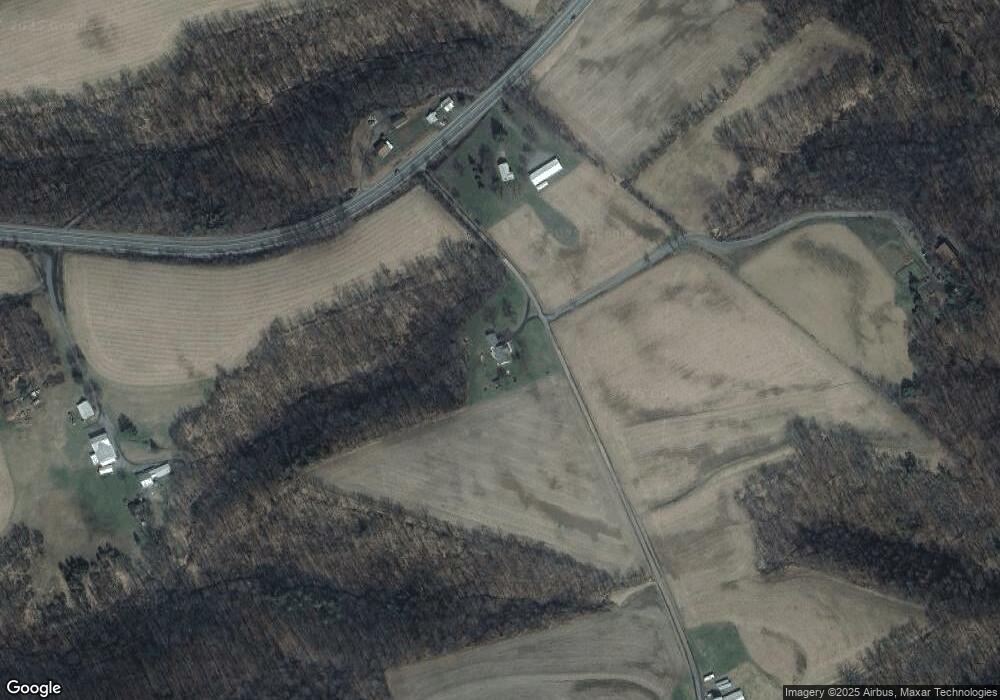
Map
Nearby Homes
- 13 Washingtonville Rd
- 459-463 Danville Rd
- 4 Eyersgrove Rd
- 2910 Pennsylvania 42
- 60 3rd St
- 163 E Main St
- 93 Woodside Rd
- 259 N Chestnut St
- 494 Buckhorn Rd
- 516 Washingtonville Rd
- 2622 Johnson Rd
- 3041 Pennsylvania 42
- 941 Jerseytown Rd
- 0 Maple Ridge Rd
- 181B Katys Church Rd
- 29 N End Ln
- 53 Airport Rd
- 0 Orchard Dr
- 126 Orchard Dr
- 298 Peacock Corners Rd
- 196 Jerseytown Rd
- 185 Jerseytown Rd
- 193 Jerseytown Rd
- 144 Jerseytown Rd
- 136 Bennett Rd
- 78 Bennett Rd
- 143B Mordan Rd
- 257 Jerseytown Rd
- 143A Mordan Rd
- 172 Mordan Rd
- 184 Mordan Rd
- 198 Mordan Rd
- 274 Jerseytown Rd
- 200 Mordan Rd
- 566 Eyers Grove Rd
- 81 Magee Rd
- 69 Jerseytown Rd
- 551 Eyers Grove Rd
- 551 Eyersgrove Rd
- 125 Mordan Rd