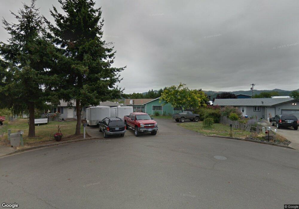
133 Beverly Ct Roseburg, OR 97471
Green NeighborhoodEstimated Value: $315,000 - $332,620
4
Beds
2
Baths
1,344
Sq Ft
$238/Sq Ft
Est. Value
About This Home
This home is located at 133 Beverly Ct, Roseburg, OR 97471 and is currently estimated at $320,405, approximately $238 per square foot. 133 Beverly Ct is a home located in Douglas County with nearby schools including Green Elementary School, John C. Fremont Middle School, and Roseburg High School.
Ownership History
Date
Name
Owned For
Owner Type
Purchase Details
Closed on
Jul 9, 2009
Sold by
Serafin Barry D
Bought by
Wade Doug G and Wade Kristi R
Current Estimated Value
Home Financials for this Owner
Home Financials are based on the most recent Mortgage that was taken out on this home.
Original Mortgage
$132,536
Outstanding Balance
$86,501
Interest Rate
5.31%
Mortgage Type
FHA
Estimated Equity
$233,904
Create a Home Valuation Report for This Property
The Home Valuation Report is an in-depth analysis detailing your home's value as well as a comparison with similar homes in the area
Home Values in the Area
Average Home Value in this Area
Purchase History
| Date | Buyer | Sale Price | Title Company |
|---|---|---|---|
| Wade Doug G | $135,000 | Amerititle Inc |
Source: Public Records
Mortgage History
| Date | Status | Borrower | Loan Amount |
|---|---|---|---|
| Open | Wade Doug G | $132,536 |
Source: Public Records
Tax History Compared to Growth
Tax History
| Year | Tax Paid | Tax Assessment Tax Assessment Total Assessment is a certain percentage of the fair market value that is determined by local assessors to be the total taxable value of land and additions on the property. | Land | Improvement |
|---|---|---|---|---|
| 2024 | $1,788 | $191,106 | -- | -- |
| 2023 | $1,736 | $185,540 | $0 | $0 |
| 2022 | $1,685 | $180,136 | $0 | $0 |
| 2021 | $2,230 | $174,890 | $0 | $0 |
| 2020 | $2,208 | $169,797 | $0 | $0 |
| 2019 | $2,090 | $164,852 | $0 | $0 |
| 2018 | $2,052 | $160,051 | $0 | $0 |
| 2017 | $2,005 | $155,390 | $0 | $0 |
| 2016 | $1,977 | $150,865 | $0 | $0 |
| 2015 | $1,951 | $146,471 | $0 | $0 |
| 2014 | $1,714 | $141,322 | $0 | $0 |
| 2013 | -- | $142,205 | $0 | $0 |
Source: Public Records
Map
Nearby Homes
- 1951 Austin Rd
- 1973 Castle Ave
- 751 E Happy Valley Rd
- 157 Creekside Ct
- 1883 Green Ave
- 1895 Green Ave
- 1911 Green Ave
- 1927 Green Ave
- 225 Corona Loop Rd
- 2065 Bel Air Ct
- 248 Corona Loop Rd
- 4285 Coronado Dr
- 150 Maywood Ct
- 4033 Hanna St
- 231 Owyhee Ln
- 193 Owyhee Ln
- 124 Aloha Ct
- 405 Corona Loop Rd
- 2352 Castle Ave
- 134 Owyhee Ln
- 141 Beverly Ct
- 123 Beverly Ct
- 149 Beverly Ct
- 1756 Austin Rd
- 1772 Austin Rd
- 157 Beverly Ct
- 155 Beverly Ct
- 1680 Austin Rd
- 1680 Austin Rd
- 1798 Austin Rd
- 1818 Austin Rd
- 679 E Happy Valley Rd
- 1820 Austin Rd
- 1811 Austin Rd
- 1660 Austin (1640+1680) Rd
- 0 Roscoe Rd Unit 9017508
- 0 Roscoe Rd Unit 9033945
- 1819 Austin Rd
- 1819 Austin Rd Unit 1
- 3915 Carnes Rd