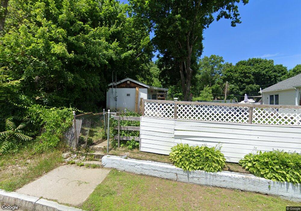
133 Blithewood Ave Worcester, MA 01604
Broadmeadow Brook NeighborhoodEstimated Value: $220,000 - $424,000
1
Bed
1
Bath
392
Sq Ft
$718/Sq Ft
Est. Value
About This Home
This home is located at 133 Blithewood Ave, Worcester, MA 01604 and is currently estimated at $281,507, approximately $718 per square foot. 133 Blithewood Ave is a home located in Worcester County with nearby schools including Roosevelt Elementary School, Jacob Hiatt Magnet School, and Chandler Magnet.
Ownership History
Date
Name
Owned For
Owner Type
Purchase Details
Closed on
Jun 1, 2015
Sold by
Xie Laurel G
Bought by
Cheng Tai
Current Estimated Value
Purchase Details
Closed on
May 13, 2015
Sold by
Est Anderson Eleanor M and Anderson Ronald C
Bought by
Xie Laurel G
Create a Home Valuation Report for This Property
The Home Valuation Report is an in-depth analysis detailing your home's value as well as a comparison with similar homes in the area
Home Values in the Area
Average Home Value in this Area
Purchase History
| Date | Buyer | Sale Price | Title Company |
|---|---|---|---|
| Cheng Tai | -- | -- | |
| Xie Laurel G | $10,000 | -- |
Source: Public Records
Tax History
| Year | Tax Paid | Tax Assessment Tax Assessment Total Assessment is a certain percentage of the fair market value that is determined by local assessors to be the total taxable value of land and additions on the property. | Land | Improvement |
|---|---|---|---|---|
| 2025 | $1,764 | $133,700 | $91,500 | $42,200 |
| 2024 | $1,788 | $130,000 | $91,500 | $38,500 |
| 2023 | $1,663 | $116,000 | $79,600 | $36,400 |
| 2022 | $1,462 | $96,100 | $63,700 | $32,400 |
| 2021 | $1,289 | $79,200 | $51,000 | $28,200 |
| 2020 | $1,306 | $76,800 | $51,000 | $25,800 |
| 2019 | $1,265 | $70,300 | $45,900 | $24,400 |
| 2018 | $1,297 | $68,600 | $45,900 | $22,700 |
| 2017 | $1,276 | $66,400 | $45,900 | $20,500 |
| 2016 | $1,119 | $54,300 | $34,300 | $20,000 |
| 2015 | $1,090 | $54,300 | $34,300 | $20,000 |
| 2014 | $1,090 | $55,800 | $34,300 | $21,500 |
Source: Public Records
Map
Nearby Homes
- 7 Clarissa St
- 6 Nathaniel St
- 1195 Grafton St Unit 29
- 1195 Grafton St Unit 39
- 9 Marissa Cir
- 7 Barbara St
- 1459 Grafton Rd
- 11 Maplewood Rd
- 8 Nightview Place
- 266 Massasoit Rd
- 25 Stoneham Rd
- 2 Salisbury St
- 3 Julien Ave
- 12 Irene Ct
- 259 Massasoit Rd
- 256 Massasoit Rd
- 53 Denver Terrace
- 300 Millbury Ave
- 63 Progressive St
- 143 Commonwealth Ave
- 135 Blithewood Ave
- 136 Blithewood Ave Unit A
- 132 Blithewood Ave Unit 2
- 132 Blithewood Ave Unit B
- 132 Blithewood Ave Unit 1
- 130 Blithewood Ave
- 130 Blithewood Ave Unit L
- 134 Blithewood Ave
- 134 Blithewood Ave Unit B
- 2 Stephen Ave
- 137 Blithewood Ave
- 127 Blithewood Ave
- 139 Blithewood Ave
- 4 Stephen Ave
- 44 Ferraro St
- 143 Blithewood Ave
- 119 Blithewood Ave
- 37 Monteforte St
- 145 Blithewood Ave
- 24 Ferraro St
Your Personal Tour Guide
Ask me questions while you tour the home.