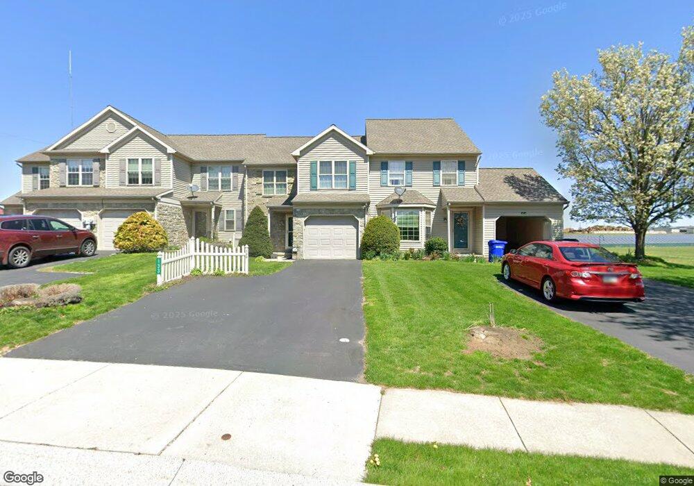
133 Bridle Path New Holland, PA 17557
Estimated Value: $309,071 - $365,000
3
Beds
2
Baths
1,548
Sq Ft
$215/Sq Ft
Est. Value
About This Home
This home is located at 133 Bridle Path, New Holland, PA 17557 and is currently estimated at $332,518, approximately $214 per square foot. 133 Bridle Path is a home located in Lancaster County with nearby schools including Garden Spot Middle School, Garden Spot Senior High School, and Mill Creek Valley Parochial School.
Ownership History
Date
Name
Owned For
Owner Type
Purchase Details
Closed on
Oct 30, 2020
Sold by
Kurtz Peggy D
Bought by
Harding Janice M
Current Estimated Value
Home Financials for this Owner
Home Financials are based on the most recent Mortgage that was taken out on this home.
Original Mortgage
$211,500
Outstanding Balance
$188,543
Interest Rate
2.9%
Mortgage Type
New Conventional
Estimated Equity
$143,975
Purchase Details
Closed on
Oct 26, 2010
Sold by
Robbins Michael M and Robbins Christine C
Bought by
Kurtz Peggy D
Purchase Details
Closed on
Aug 31, 2001
Sold by
Horst Gerald R and Horst & Son Inc
Bought by
Robbins Michael M and Robbins Christine C
Home Financials for this Owner
Home Financials are based on the most recent Mortgage that was taken out on this home.
Original Mortgage
$116,578
Interest Rate
7.05%
Mortgage Type
FHA
Create a Home Valuation Report for This Property
The Home Valuation Report is an in-depth analysis detailing your home's value as well as a comparison with similar homes in the area
Home Values in the Area
Average Home Value in this Area
Purchase History
| Date | Buyer | Sale Price | Title Company |
|---|---|---|---|
| Harding Janice M | $235,000 | None Available | |
| Kurtz Peggy D | $167,500 | None Available | |
| Robbins Michael M | $117,500 | -- |
Source: Public Records
Mortgage History
| Date | Status | Borrower | Loan Amount |
|---|---|---|---|
| Open | Harding Janice M | $211,500 | |
| Previous Owner | Robbins Michael M | $116,578 |
Source: Public Records
Tax History Compared to Growth
Tax History
| Year | Tax Paid | Tax Assessment Tax Assessment Total Assessment is a certain percentage of the fair market value that is determined by local assessors to be the total taxable value of land and additions on the property. | Land | Improvement |
|---|---|---|---|---|
| 2025 | $2,649 | $154,100 | $32,700 | $121,400 |
| 2024 | $2,649 | $154,100 | $32,700 | $121,400 |
| 2023 | $2,609 | $154,100 | $32,700 | $121,400 |
| 2022 | $2,579 | $154,100 | $32,700 | $121,400 |
| 2021 | $2,537 | $154,100 | $32,700 | $121,400 |
| 2020 | $2,537 | $154,100 | $32,700 | $121,400 |
| 2019 | $2,508 | $154,100 | $32,700 | $121,400 |
| 2018 | $3,689 | $154,100 | $32,700 | $121,400 |
| 2017 | $2,505 | $125,100 | $32,900 | $92,200 |
| 2016 | $2,505 | $125,100 | $32,900 | $92,200 |
| 2015 | $624 | $125,100 | $32,900 | $92,200 |
| 2014 | $1,739 | $125,100 | $32,900 | $92,200 |
Source: Public Records
Map
Nearby Homes
- 529 Ranck Rd Unit 1
- 529 Ranck Rd Unit 2
- 529 Ranck Rd Unit 3
- 529 Ranck Rd Unit 4
- 529 Ranck Rd Unit 5
- 529 Ranck Rd Unit 9
- 529 Ranck Rd Unit 6
- 529 Ranck Rd Unit 8
- 529 Ranck Rd Unit 10
- 13 Amber Cir
- 391 E Jackson St
- 385 Valley View Dr
- 20 N Kinzer Ave
- 406 Brimmer Ave
- 210 Musser Rd
- 148 E Broad St
- 144 W Conestoga St
- 1258 Main St
- 227 Locust St
- 220 Sycamore Ln
- 131 Bridle Path
- 129 Bridle Path
- 135 Bridle Path
- 127 Bridle Path
- 125 Bridle Path
- 123 Bridle Path
- 128 Bridle Path
- 121 Bridle Path
- 136 Bridle Path
- 120 Bridle Path
- 116 Bridle Path
- 138 Bridle Path
- 119 Bridle Path
- 140 Bridle Path
- 142 Bridle Path
- 114 Bridle Path
- 117 Bridle Path
- 144 Bridle Path
- 146 Bridle Path
- 112 Bridle Path