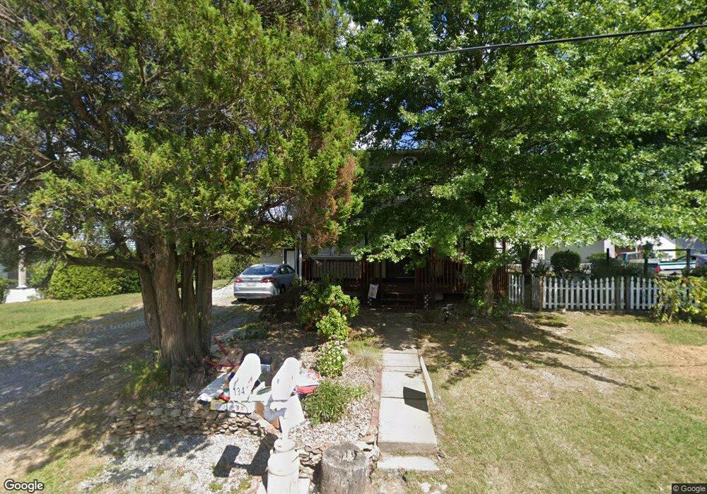
133 Brinker St Latrobe, PA 15650
Estimated Value: $84,342 - $247,000
Studio
--
Bath
1,508
Sq Ft
$119/Sq Ft
Est. Value
About This Home
This home is located at 133 Brinker St, Latrobe, PA 15650 and is currently estimated at $180,086, approximately $119 per square foot. 133 Brinker St is a home located in Westmoreland County with nearby schools including Grace Bible Academy and Christ the Divine Teacher School.
Ownership History
Date
Name
Owned For
Owner Type
Purchase Details
Closed on
May 14, 2014
Sold by
Cary Sean P
Bought by
Hamilton Rebecca L and Schultheis Rebecca L
Current Estimated Value
Purchase Details
Closed on
Jun 23, 2010
Sold by
Cary Sean P and Schultheis Rebecca
Bought by
Cary Sean P and Schultheis Rebecca L
Home Financials for this Owner
Home Financials are based on the most recent Mortgage that was taken out on this home.
Original Mortgage
$66,922
Interest Rate
5.5%
Mortgage Type
FHA
Create a Home Valuation Report for This Property
The Home Valuation Report is an in-depth analysis detailing your home's value as well as a comparison with similar homes in the area
Home Values in the Area
Average Home Value in this Area
Purchase History
| Date | Buyer | Sale Price | Title Company |
|---|---|---|---|
| Hamilton Rebecca L | -- | None Available | |
| Cary Sean P | -- | First American Title Co |
Source: Public Records
Mortgage History
| Date | Status | Borrower | Loan Amount |
|---|---|---|---|
| Closed | Cary Sean P | $66,922 |
Source: Public Records
Tax History
| Year | Tax Paid | Tax Assessment Tax Assessment Total Assessment is a certain percentage of the fair market value that is determined by local assessors to be the total taxable value of land and additions on the property. | Land | Improvement |
|---|---|---|---|---|
| 2026 | $1,624 | $13,070 | $2,930 | $10,140 |
| 2025 | $1,624 | $13,070 | $2,930 | $10,140 |
| 2024 | $1,624 | $13,070 | $2,930 | $10,140 |
| 2023 | $1,533 | $13,070 | $2,930 | $10,140 |
| 2022 | $1,520 | $13,070 | $2,930 | $10,140 |
| 2021 | $1,520 | $13,070 | $2,930 | $10,140 |
| 2020 | $1,494 | $13,070 | $2,930 | $10,140 |
| 2019 | $1,461 | $13,070 | $2,930 | $10,140 |
| 2018 | $1,396 | $13,070 | $2,930 | $10,140 |
| 2017 | $1,359 | $13,070 | $2,930 | $10,140 |
| 2016 | $1,234 | $13,070 | $2,930 | $10,140 |
| 2015 | $1,213 | $12,190 | $2,930 | $9,260 |
| 2014 | $1,213 | $12,190 | $2,930 | $9,260 |
Source: Public Records
Map
Nearby Homes
- 1 Bankie Dr
- 2101 Walnut Dr
- TBD Industrial Blvd
- 1908 Walnut Dr
- 1302 Oaklawn Dr
- 934 Wood St
- 1029 James St
- 105 Pandora Rd
- 1012 Princeton St
- 1248 Oaklawn Dr
- 704 Abbott St
- 1104 Cherry St
- L69, 70, 71 Locust St
- 2023 Sylvan Ave
- 2245 Raymond Ave
- 414 Smith St
- 721 Lehmer St
- 1710 Raymond Ave
- 2527 Raymond Ave
- 504 Sunview Cir
Your Personal Tour Guide
Ask me questions while you tour the home.