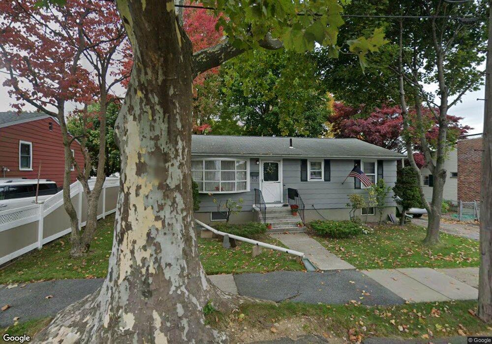
133 Brookline St Watertown, MA 02472
West Watertown NeighborhoodEstimated Value: $731,194 - $934,000
2
Beds
1
Bath
912
Sq Ft
$865/Sq Ft
Est. Value
About This Home
This home is located at 133 Brookline St, Watertown, MA 02472 and is currently estimated at $789,299, approximately $865 per square foot. 133 Brookline St is a home located in Middlesex County with nearby schools including The Kendall School, JCDS, Boston's Jewish Community Day School, and Beacon High School.
Ownership History
Date
Name
Owned For
Owner Type
Purchase Details
Closed on
Sep 26, 1988
Sold by
Walsh Charles W
Bought by
Hession William J
Current Estimated Value
Home Financials for this Owner
Home Financials are based on the most recent Mortgage that was taken out on this home.
Original Mortgage
$158,000
Interest Rate
10.51%
Mortgage Type
Purchase Money Mortgage
Create a Home Valuation Report for This Property
The Home Valuation Report is an in-depth analysis detailing your home's value as well as a comparison with similar homes in the area
Home Values in the Area
Average Home Value in this Area
Purchase History
| Date | Buyer | Sale Price | Title Company |
|---|---|---|---|
| Hession William J | $176,000 | -- |
Source: Public Records
Mortgage History
| Date | Status | Borrower | Loan Amount |
|---|---|---|---|
| Closed | Hession William J | $158,000 |
Source: Public Records
Tax History Compared to Growth
Tax History
| Year | Tax Paid | Tax Assessment Tax Assessment Total Assessment is a certain percentage of the fair market value that is determined by local assessors to be the total taxable value of land and additions on the property. | Land | Improvement |
|---|---|---|---|---|
| 2025 | $7,529 | $644,600 | $468,800 | $175,800 |
| 2024 | $6,736 | $575,700 | $448,900 | $126,800 |
| 2023 | $7,489 | $551,500 | $427,500 | $124,000 |
| 2022 | $6,870 | $518,500 | $406,100 | $112,400 |
| 2021 | $6,178 | $504,300 | $391,900 | $112,400 |
| 2020 | $5,949 | $490,000 | $377,600 | $112,400 |
| 2019 | $5,832 | $452,800 | $363,400 | $89,400 |
| 2018 | $5,947 | $441,500 | $356,300 | $85,200 |
| 2017 | $5,195 | $374,000 | $306,400 | $67,600 |
| 2016 | $4,800 | $350,900 | $292,100 | $58,800 |
| 2015 | $4,954 | $329,600 | $270,800 | $58,800 |
| 2014 | $4,611 | $308,200 | $249,400 | $58,800 |
Source: Public Records
Map
Nearby Homes
- 71 Gleason St
- 43 Wilbur St
- 100 Whitman Rd
- 36 Hollace St
- 253 Sycamore St Unit 253
- 38 Carey Ave Unit 3
- 5 Chapman St
- 654 Main St
- 236 Sycamore St
- 24 Gill Rd Unit 4
- 20 Whitman Rd Unit B-1
- 30 Duff St
- 57 Pierce Rd Unit 57
- 78 Barbara Rd Unit 1
- 914 Belmont St
- 109 A Lexington St
- 52 Edward Rd
- 287 Lexington St
- 63-65 Evans St
- 356 Lexington St
- 129 Brookline St
- 139 Brookline St
- 104 Webster St
- 112 Webster St
- 128 Brookline St
- 123 Brookline St
- 138 Brookline St
- 124 Brookline St
- 98 Webster St
- 117 Brookline St
- 120 Brookline St
- 8 Morrison Rd
- 94 Webster St
- 111 Webster St
- 12 Morrison Rd
- 4 Morrison Rd
- 83 Webster St
- 89 Webster St
- 101 Webster St
- 105 Webster St