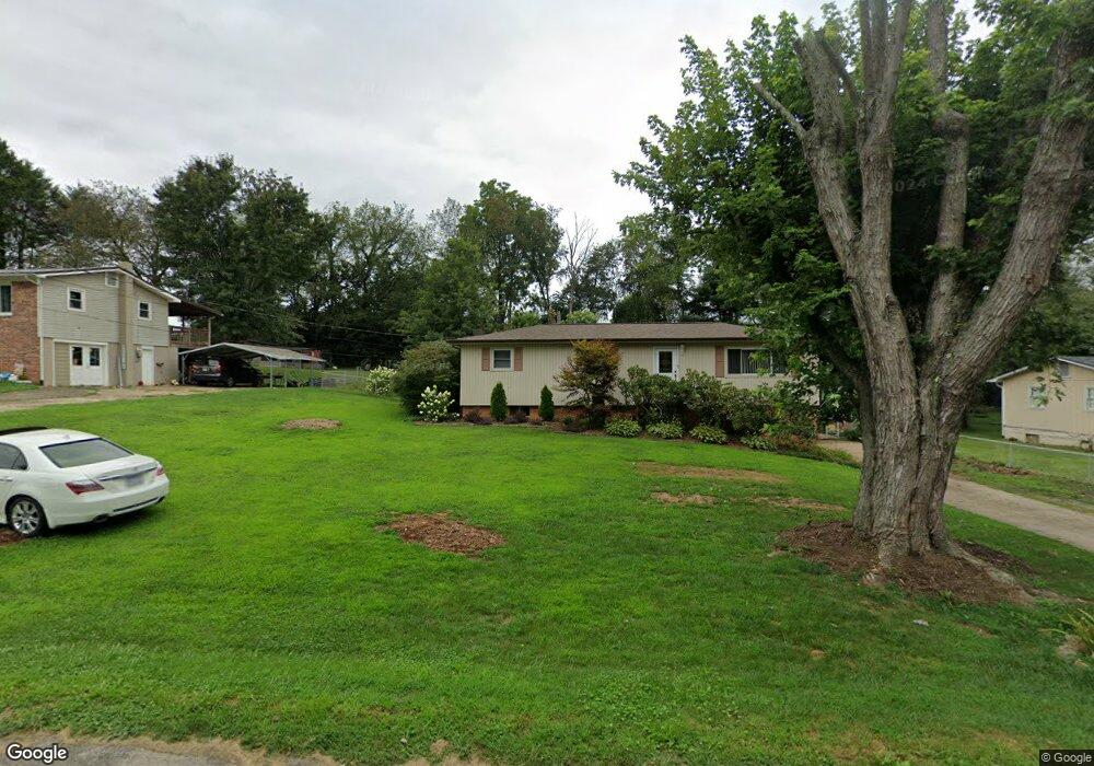
133 Brookside Dr Canton, NC 28716
Estimated Value: $217,000 - $290,000
3
Beds
1
Bath
1,152
Sq Ft
$223/Sq Ft
Est. Value
About This Home
This home is located at 133 Brookside Dr, Canton, NC 28716 and is currently estimated at $257,413, approximately $223 per square foot. 133 Brookside Dr is a home located in Haywood County with nearby schools including Bethel Elementary, Bethel Middle School, and Pisgah High School.
Ownership History
Date
Name
Owned For
Owner Type
Purchase Details
Closed on
May 12, 2006
Sold by
Bowman John Patrick
Bought by
Pierce Scott D and Pierce Rhonda R
Current Estimated Value
Home Financials for this Owner
Home Financials are based on the most recent Mortgage that was taken out on this home.
Original Mortgage
$116,850
Outstanding Balance
$67,636
Interest Rate
6.39%
Mortgage Type
New Conventional
Estimated Equity
$189,777
Create a Home Valuation Report for This Property
The Home Valuation Report is an in-depth analysis detailing your home's value as well as a comparison with similar homes in the area
Home Values in the Area
Average Home Value in this Area
Purchase History
| Date | Buyer | Sale Price | Title Company |
|---|---|---|---|
| Pierce Scott D | $123,000 | None Available |
Source: Public Records
Mortgage History
| Date | Status | Borrower | Loan Amount |
|---|---|---|---|
| Open | Pierce Scott D | $116,850 |
Source: Public Records
Tax History
| Year | Tax Paid | Tax Assessment Tax Assessment Total Assessment is a certain percentage of the fair market value that is determined by local assessors to be the total taxable value of land and additions on the property. | Land | Improvement |
|---|---|---|---|---|
| 2025 | -- | $113,500 | $21,200 | $92,300 |
| 2024 | $10 | $129,800 | $21,200 | $108,600 |
| 2023 | $983 | $129,800 | $21,200 | $108,600 |
| 2022 | $964 | $129,800 | $21,200 | $108,600 |
| 2021 | $964 | $129,800 | $21,200 | $108,600 |
| 2020 | $842 | $101,900 | $17,600 | $84,300 |
| 2019 | $847 | $101,900 | $17,600 | $84,300 |
| 2018 | $847 | $101,900 | $17,600 | $84,300 |
| 2017 | $837 | $101,900 | $0 | $0 |
| 2016 | $767 | $94,000 | $0 | $0 |
| 2015 | $767 | $94,000 | $0 | $0 |
| 2014 | $671 | $94,000 | $0 | $0 |
Source: Public Records
Map
Nearby Homes
- 57 Bittersweet Trail
- 1254 Pisgah Dr
- 57 Eden Brook Dr
- 61 Riverbend Rd
- 21 Riverbend Rd
- 600 Scottdale Rd
- 130 Crestview St
- 107 Axley St
- 32 Windy Hill Ln
- 133 Windy Hill Ln
- TBD England Dr
- 28 Back Stage Pass
- 99 Thistle Ridge
- 158 Poplar St
- 163 Pharr St
- 00 Cove Creek Rd
- 36 Kimberly Dr
- 00 Bob Wood Dr
- TBD Valley St
- 172 Reed St
- 153 Brookside Dr
- 117 Brookside Dr
- 161 Brookside Dr
- 93 Brookside Dr
- 134 Brookside Dr
- 152 Brookside Dr
- 104 Brookside Dr
- 160 Brookside Dr
- 98 Brookside Dr
- 65 Brookside Dr
- 178 Brookside Dr
- 64 Brookside Dr
- 199 Brookside Dr
- 55 Brookside Dr
- 98 Garden Ln
- 90 Garden Ln
- 156 Garden Ln
- 200 Brookside Dr
- 150 Garden Ln
- 115 Gazebo Ct
Your Personal Tour Guide
Ask me questions while you tour the home.