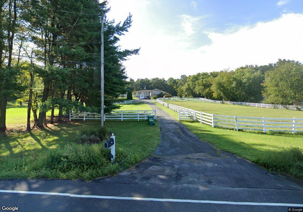
133 Burlington Path Rd Cream Ridge, NJ 08514
Estimated Value: $704,000 - $762,000
4
Beds
2
Baths
2,248
Sq Ft
$328/Sq Ft
Est. Value
About This Home
This home is located at 133 Burlington Path Rd, Cream Ridge, NJ 08514 and is currently estimated at $736,387, approximately $327 per square foot. 133 Burlington Path Rd is a home located in Monmouth County with nearby schools including Newell Elementary School, Stonebridge Middle School, and Allentown High School.
Ownership History
Date
Name
Owned For
Owner Type
Purchase Details
Closed on
Jul 27, 2015
Sold by
Padalino Ernest and Padalino Kathryn
Bought by
Taylor Janet Lindsay
Current Estimated Value
Purchase Details
Closed on
Feb 27, 2004
Sold by
Reynolds Henry
Bought by
Padalino Ernest and Read Kathryn
Home Financials for this Owner
Home Financials are based on the most recent Mortgage that was taken out on this home.
Original Mortgage
$333,700
Interest Rate
5.62%
Purchase Details
Closed on
May 16, 1994
Sold by
Melton Dave
Bought by
Reynolds Henry and Dietrick Liana
Home Financials for this Owner
Home Financials are based on the most recent Mortgage that was taken out on this home.
Original Mortgage
$185,000
Interest Rate
8.74%
Create a Home Valuation Report for This Property
The Home Valuation Report is an in-depth analysis detailing your home's value as well as a comparison with similar homes in the area
Home Values in the Area
Average Home Value in this Area
Purchase History
| Date | Buyer | Sale Price | Title Company |
|---|---|---|---|
| Taylor Janet Lindsay | $490,000 | River Edge Title Agency Llc | |
| Padalino Ernest | $429,900 | -- | |
| Reynolds Henry | $195,000 | -- |
Source: Public Records
Mortgage History
| Date | Status | Borrower | Loan Amount |
|---|---|---|---|
| Previous Owner | Padalino Ernest | $333,700 | |
| Previous Owner | Reynolds Henry | $185,000 |
Source: Public Records
Tax History Compared to Growth
Tax History
| Year | Tax Paid | Tax Assessment Tax Assessment Total Assessment is a certain percentage of the fair market value that is determined by local assessors to be the total taxable value of land and additions on the property. | Land | Improvement |
|---|---|---|---|---|
| 2025 | $12,156 | $598,300 | $226,600 | $371,700 |
| 2024 | $12,078 | $563,800 | $232,500 | $331,300 |
| 2023 | $12,078 | $543,800 | $232,300 | $311,500 |
| 2022 | $11,012 | $480,600 | $161,400 | $319,200 |
| 2021 | $11,012 | $482,200 | $146,500 | $335,700 |
| 2020 | $11,413 | $472,800 | $146,500 | $326,300 |
| 2019 | $11,242 | $469,000 | $146,500 | $322,500 |
| 2018 | $11,043 | $453,900 | $146,500 | $307,400 |
| 2017 | $10,716 | $446,300 | $146,400 | $299,900 |
| 2016 | $11,390 | $480,200 | $146,400 | $333,800 |
| 2015 | $10,383 | $442,400 | $171,400 | $271,000 |
| 2014 | $9,456 | $406,000 | $161,400 | $244,600 |
Source: Public Records
Map
Nearby Homes
- 0 Route 537 Unit 22533818
- 168 Burlington Path Rd
- 18 Schoolhouse Rd
- 17 Grant Dr
- 193 Burlington Path Rd
- L:24 01 Route 537
- 106 Holmes Mill Rd
- 9 Arneytown Hornerstown Rd
- 791 Monmouth Rd
- 724 Monmouth Rd Unit 8
- 724 Monmouth Rd Unit 37
- 12 Copperfield Dr
- 3 Copperfield Dr
- 23 Kuzyk Rd
- 47 Imlaystown Rd
- 732 Monmouth Rd
- 7 Longview Trail
- 10 Postal Rd
- 393 E Millstream Rd
- 16 Cranberry Dr
- 131 Burlington Path Rd
- 39 Wygant Rd
- 39 Wygant Rd
- 135 Burlington Path Rd
- 129 Burlington Path Rd
- 125 Burlington Path Rd
- 37 Wygant Rd
- 1 Wygant Rd
- 2 Wygant Rd
- 123 Burlington Path Rd
- 35 Wygant Rd
- 5 Harvey Rd
- 44 Wygant Rd
- 36 Wygant Rd
- 33 Wygant Rd
- 40 Wygant Rd
- 119 Burlington Path Rd
- 29 Wygant Rd
- 31 Wygant Rd
- 117 Burlington Path Rd