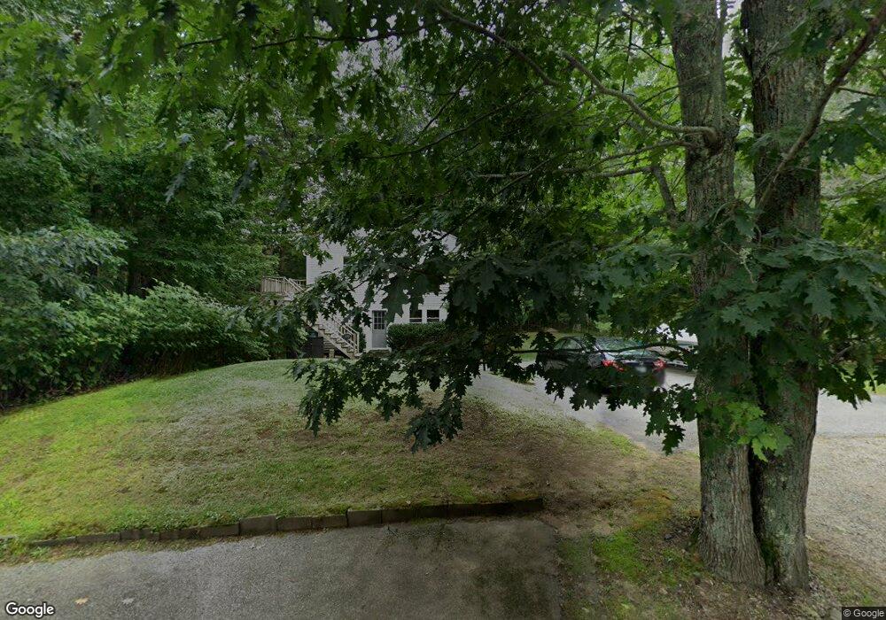
133 Captain Thomas Rd Ogunquit, ME 03907
Ogunquit NeighborhoodEstimated Value: $374,000 - $531,034
4
Beds
2
Baths
772
Sq Ft
$586/Sq Ft
Est. Value
About This Home
This home is located at 133 Captain Thomas Rd, Ogunquit, ME 03907 and is currently estimated at $452,517, approximately $586 per square foot. 133 Captain Thomas Rd is a home located in York County with nearby schools including Wells Junior High School, Wells Elementary School, and Wells High School.
Ownership History
Date
Name
Owned For
Owner Type
Purchase Details
Closed on
Aug 10, 2016
Sold by
Austin Sandra L and Tacelli Christopher B
Bought by
T Tacelli and Austin T
Current Estimated Value
Create a Home Valuation Report for This Property
The Home Valuation Report is an in-depth analysis detailing your home's value as well as a comparison with similar homes in the area
Home Values in the Area
Average Home Value in this Area
Purchase History
| Date | Buyer | Sale Price | Title Company |
|---|---|---|---|
| T Tacelli | -- | -- |
Source: Public Records
Tax History
| Year | Tax Paid | Tax Assessment Tax Assessment Total Assessment is a certain percentage of the fair market value that is determined by local assessors to be the total taxable value of land and additions on the property. | Land | Improvement |
|---|---|---|---|---|
| 2024 | $2,142 | $331,600 | $195,700 | $135,900 |
| 2023 | $2,142 | $331,600 | $195,700 | $135,900 |
| 2022 | $2,096 | $331,600 | $195,700 | $135,900 |
| 2021 | $2,107 | $258,900 | $111,800 | $147,100 |
| 2020 | $2,071 | $258,900 | $111,800 | $147,100 |
| 2019 | $2,071 | $258,900 | $111,800 | $147,100 |
| 2018 | $2,048 | $258,900 | $111,800 | $147,100 |
| 2017 | $2,127 | $258,900 | $111,800 | $147,100 |
| 2016 | $39 | $342,500 | $139,800 | $202,700 |
| 2015 | $2,764 | $342,500 | $139,800 | $202,700 |
| 2014 | $2,658 | $342,500 | $139,800 | $202,700 |
Source: Public Records
Map
Nearby Homes
- 22 Adams Ln
- 31 Rebecca Rd
- 191 Tatnic Rd Unit 73
- 488 Main St Unit 7
- 444 Main St Unit 112
- 47 Village Green Dr
- 76 Post Rd Unit 21M
- 14 Valleybrook Rd Unit 14
- 9 Bourne Ave Unit B6
- 20 Shore Rd Unit 2A,B,C,D
- 25 Shore Rd Unit A
- 1 Old County Rd Unit 165
- 1 Old County Rd Unit 155
- 14 Maple St
- 69 Cottage St
- 168 Ocean Ave
- 141 Rabbit Run
- 415 N Village Rd
- 200 Shore Rd
- 412 Post Rd Unit 304
- 137 Captain Thomas Rd
- 129 Captain Thomas Rd
- 132 Captain Thomas Rd
- 125 Captain Thomas Rd
- 116 Captain Thomas Rd
- 111 Captain Thomas Rd
- 0 Captain Thomas Rd
- 179 Libby Ln
- 190 Libby Ln
- 182 Libby Ln
- 109 Captain Thomas Rd
- 187 Libby Ln
- 108 Captain Thomas Rd
- 162 Captain Thomas Rd
- 99 Captain Thomas Rd
- 0 Tatnic Rd & Libby Ln
- 101 Captain Thomas Rd Unit 2
- 101 Captain Thomas Rd Unit 1
- 101 Captain Thomas Rd Unit AB
- 101 Captain Thomas Rd Unit B
Your Personal Tour Guide
Ask me questions while you tour the home.