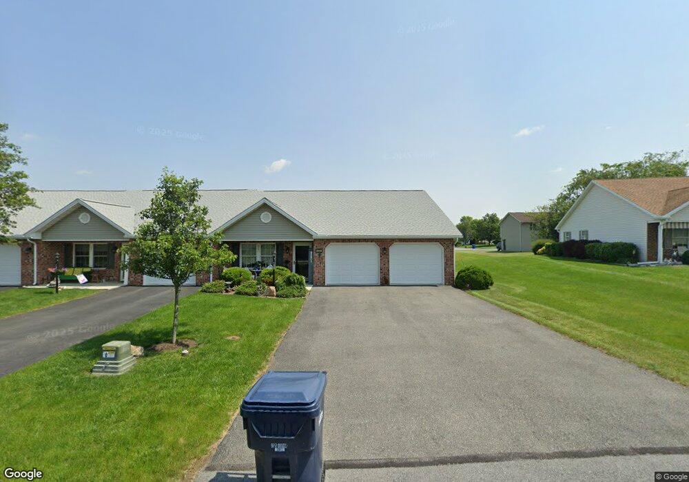
133 Central Way Shippensburg, PA 17257
Estimated Value: $97,861 - $281,000
2
Beds
2
Baths
--
Sq Ft
6,098
Sq Ft Lot
About This Home
This home is located at 133 Central Way, Shippensburg, PA 17257 and is currently estimated at $230,215. 133 Central Way is a home located in Franklin County with nearby schools including Shippensburg Area Senior High School, Mt. Rock Parochial School, and Anchor Christian School.
Ownership History
Date
Name
Owned For
Owner Type
Purchase Details
Closed on
Dec 11, 2010
Sold by
Thompson Joseph J and Thompson Joseph J
Bought by
Kelley Glen K and Kelley Geraldine A
Current Estimated Value
Purchase Details
Closed on
Sep 10, 2008
Sold by
Rine Land Development Inc
Bought by
Thompson Joseph J and Thompson Joseph J
Home Financials for this Owner
Home Financials are based on the most recent Mortgage that was taken out on this home.
Original Mortgage
$72,532
Interest Rate
6.57%
Mortgage Type
FHA
Create a Home Valuation Report for This Property
The Home Valuation Report is an in-depth analysis detailing your home's value as well as a comparison with similar homes in the area
Home Values in the Area
Average Home Value in this Area
Purchase History
| Date | Buyer | Sale Price | Title Company |
|---|---|---|---|
| Kelley Glen K | $140,000 | None Available | |
| Thompson Joseph J | $164,900 | None Available |
Source: Public Records
Mortgage History
| Date | Status | Borrower | Loan Amount |
|---|---|---|---|
| Previous Owner | Thompson Joseph J | $72,532 |
Source: Public Records
Tax History Compared to Growth
Tax History
| Year | Tax Paid | Tax Assessment Tax Assessment Total Assessment is a certain percentage of the fair market value that is determined by local assessors to be the total taxable value of land and additions on the property. | Land | Improvement |
|---|---|---|---|---|
| 2025 | $2,787 | $18,830 | $920 | $17,910 |
| 2024 | $2,439 | $18,830 | $920 | $17,910 |
| 2023 | $2,390 | $18,830 | $920 | $17,910 |
| 2022 | $2,374 | $18,830 | $920 | $17,910 |
| 2021 | $2,304 | $18,830 | $920 | $17,910 |
| 2020 | $2,420 | $18,830 | $920 | $17,910 |
| 2019 | $2,398 | $18,830 | $920 | $17,910 |
| 2018 | $2,442 | $18,830 | $920 | $17,910 |
| 2017 | $2,461 | $18,830 | $920 | $17,910 |
| 2016 | $527 | $18,830 | $920 | $17,910 |
| 2015 | $491 | $18,830 | $920 | $17,910 |
| 2014 | $491 | $18,830 | $920 | $17,910 |
Source: Public Records
Map
Nearby Homes
- 109 Central Way
- 0 Central Way
- 432 Kara Way
- 102 Quentin Cir
- 1123 Ashton Dr
- 1047 Celeste Dr
- 255 Grove Dr
- 257 Grove Dr
- 989 Ashton Dr
- 1768 Orrstown Rd
- 59 Maizefield Dr
- 22 Maizefield Dr
- 11268 Thornwood Rd
- 700 Municipal Dr
- 201 Baker & Russell Dr
- 610 Westover Rd
- 136 Park Place E
- 118 Baker and Russell Dr
- 108 Baker and Russell Dr
- 611 Prospect Ave
- 131 Central Way
- 135 Central Way
- 129 Central Way
- 127 Central Way
- 137 Central Way
- 125 Central Way
- 1224 Ashton Dr
- 114 Central Way
- 139 Central Way Unit 41
- 116 Central Way
- 123 Central Way
- 1236 Ashton Dr
- 121 Central Way Unit 32
- 1220 Ashton Dr
- 301 Franklin Way
- 110 Central Way
- 141 Central Way
- 119 Central Way
- 1242 Ashton Dr
- 303 Franklin Way