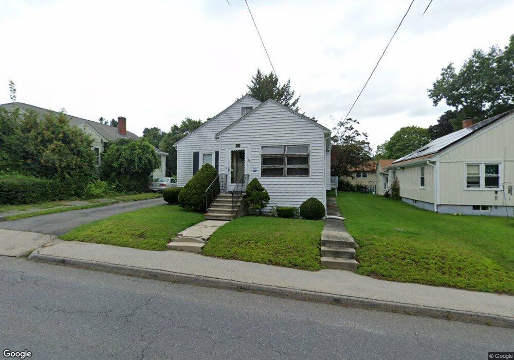
133 Clark St Worcester, MA 01606
Burncoat NeighborhoodEstimated Value: $337,000 - $407,000
2
Beds
2
Baths
1,101
Sq Ft
$340/Sq Ft
Est. Value
About This Home
This home is located at 133 Clark St, Worcester, MA 01606 and is currently estimated at $374,323, approximately $339 per square foot. 133 Clark St is a home located in Worcester County with nearby schools including Worcester Arts Magnet School, Jacob Hiatt Magnet School, and Chandler Magnet.
Create a Home Valuation Report for This Property
The Home Valuation Report is an in-depth analysis detailing your home's value as well as a comparison with similar homes in the area
Home Values in the Area
Average Home Value in this Area
Tax History Compared to Growth
Tax History
| Year | Tax Paid | Tax Assessment Tax Assessment Total Assessment is a certain percentage of the fair market value that is determined by local assessors to be the total taxable value of land and additions on the property. | Land | Improvement |
|---|---|---|---|---|
| 2025 | $4,088 | $309,900 | $106,600 | $203,300 |
| 2024 | $3,942 | $286,700 | $106,600 | $180,100 |
| 2023 | $3,774 | $263,200 | $92,700 | $170,500 |
| 2022 | $3,465 | $227,800 | $74,200 | $153,600 |
| 2021 | $3,298 | $202,600 | $59,300 | $143,300 |
| 2020 | $3,164 | $186,100 | $59,300 | $126,800 |
| 2019 | $3,046 | $169,200 | $53,400 | $115,800 |
| 2018 | $3,052 | $161,400 | $53,400 | $108,000 |
| 2017 | $2,937 | $152,800 | $53,400 | $99,400 |
| 2016 | $2,898 | $140,600 | $40,300 | $100,300 |
| 2015 | $2,822 | $140,600 | $40,300 | $100,300 |
| 2014 | $2,747 | $140,600 | $40,300 | $100,300 |
Source: Public Records
Map
Nearby Homes
- 14 Housatonic St
- 80 Clark St
- 95 Saint Nicholas Ave
- 314 Burncoat St
- 68 Housatonic St
- 276 Saint Nicholas Ave
- 15 Inwood Rd
- 13 Fatima Ln
- 113 Bay State Rd
- 2 Maria Ln Unit 2
- 120 Bay State Rd
- 43 Fales St
- 3 Granville Ave
- 2206 Halcyon Dr Unit 2206
- 18 Claffey Ave
- 12 Prudential Rd
- 31 Enaya Cir Unit 31
- 40 Francis St
- 134 Whitmarsh Ave
- 8 Cherry Blossom Cir Unit 50