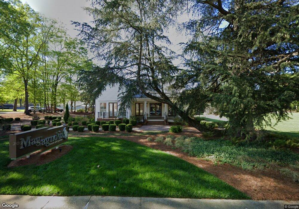
133 College St Jonesboro, GA 30236
Estimated Value: $206,830
3
Beds
2
Baths
1,940
Sq Ft
$107/Sq Ft
Est. Value
About This Home
This home is located at 133 College St, Jonesboro, GA 30236 and is currently estimated at $206,830, approximately $106 per square foot. 133 College St is a home located in Clayton County with nearby schools including Suder Elementary School, Mundys Mill Middle School, and Jonesboro High School.
Ownership History
Date
Name
Owned For
Owner Type
Purchase Details
Closed on
Apr 25, 2016
Sold by
Ckc Commercial Properties Llc
Bought by
A Better Way Ministries Inc
Current Estimated Value
Purchase Details
Closed on
Jan 26, 2015
Sold by
Ckc Properties Llc
Bought by
Ckc Commercial Properties Llc
Purchase Details
Closed on
Nov 5, 2014
Sold by
Mcmullen Robert E
Bought by
Cathy Cynthia K
Purchase Details
Closed on
Dec 19, 2012
Sold by
Mcmullen Robert E
Bought by
Mcmullen Robert E and Geraci Karen Mcmullen
Create a Home Valuation Report for This Property
The Home Valuation Report is an in-depth analysis detailing your home's value as well as a comparison with similar homes in the area
Home Values in the Area
Average Home Value in this Area
Purchase History
| Date | Buyer | Sale Price | Title Company |
|---|---|---|---|
| A Better Way Ministries Inc | -- | -- | |
| Ckc Commercial Properties Llc | -- | -- | |
| Cathy Cynthia K | $85,000 | -- | |
| Mcmullen Robert E | -- | -- | |
| Mcmullen Robert E | -- | -- |
Source: Public Records
Tax History Compared to Growth
Tax History
| Year | Tax Paid | Tax Assessment Tax Assessment Total Assessment is a certain percentage of the fair market value that is determined by local assessors to be the total taxable value of land and additions on the property. | Land | Improvement |
|---|---|---|---|---|
| 2024 | $2,255 | $57,800 | $19,680 | $38,120 |
| 2023 | $2,087 | $57,800 | $19,680 | $38,120 |
| 2022 | $2,268 | $57,800 | $19,680 | $38,120 |
| 2021 | $2,283 | $57,800 | $19,680 | $38,120 |
| 2020 | $1,864 | $46,600 | $19,600 | $27,000 |
| 2019 | $1,892 | $46,600 | $19,600 | $27,000 |
| 2018 | $1,892 | $46,600 | $19,600 | $27,000 |
| 2017 | $1,782 | $43,800 | $19,600 | $24,200 |
| 2016 | $1,782 | $43,800 | $19,600 | $24,200 |
| 2015 | $1,081 | $0 | $0 | $0 |
| 2014 | $805 | $20,250 | $7,000 | $13,250 |
Source: Public Records
Map
Nearby Homes
- 116 Stewart Ave
- 192 Cloud St
- 135 Main St
- 0 State Highway 54
- 7559 Tara Blvd
- 109 Stockbridge Rd
- 776 Jeb Stuart Dr
- 181 Dean St
- 215 King St
- 761 Robert e Lee Pkwy
- 8857 Woodridge Ct
- 151 Irvin St
- 242 Lake Jodeco Rd
- 738 Dunaire Way
- 1250 Grove Pkwy
- 755 Dunaire Way
- 8469 Shiloh Ct
- 304 Mercer Dr
- 657 Utoy Ct
- 8474 Magnolia Dr
- 0 College St Unit 7093482
- 139 College St
- 138 Burnside St
- 130 Burnside St
- 130 Burnside St
- 123 College St
- 142 Burnside St
- 0 Burnside St Unit 7366898
- 0 Burnside St Unit 7091149
- 0 Burnside St
- 145 College St
- 121 College St
- 128 Burnside St
- 128 Burnside St
- 165 Church St
- 146 Burnside St
- 141 Burnside St
- 143 Burnside St
- 131 Burnside St
- 127 Burnside St