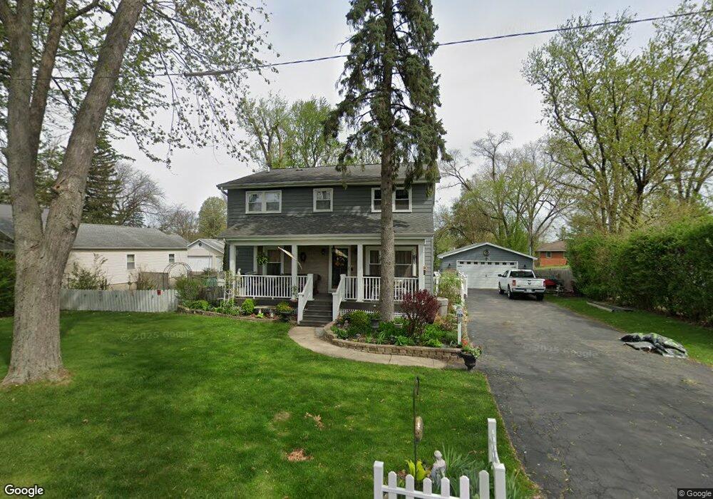
133 E 4th Ave Unit 5 New Lenox, IL 60451
Estimated Value: $356,216 - $450,000
--
Bed
--
Bath
--
Sq Ft
0.56
Acres
About This Home
This home is located at 133 E 4th Ave Unit 5, New Lenox, IL 60451 and is currently estimated at $400,554. 133 E 4th Ave Unit 5 is a home located in Will County with nearby schools including Bentley Elementary School, Arnold J Tyler School, and Alex M Martino Jr High School.
Ownership History
Date
Name
Owned For
Owner Type
Purchase Details
Closed on
Mar 24, 1995
Sold by
Ilgin Robert J and Carr Tracy L
Bought by
Attaway David W and Attaway Shalimar K
Current Estimated Value
Home Financials for this Owner
Home Financials are based on the most recent Mortgage that was taken out on this home.
Original Mortgage
$115,000
Interest Rate
8.7%
Create a Home Valuation Report for This Property
The Home Valuation Report is an in-depth analysis detailing your home's value as well as a comparison with similar homes in the area
Home Values in the Area
Average Home Value in this Area
Purchase History
| Date | Buyer | Sale Price | Title Company |
|---|---|---|---|
| Attaway David W | $128,000 | Chicago Title Insurance Co |
Source: Public Records
Mortgage History
| Date | Status | Borrower | Loan Amount |
|---|---|---|---|
| Closed | Attaway David W | $115,000 |
Source: Public Records
Tax History Compared to Growth
Tax History
| Year | Tax Paid | Tax Assessment Tax Assessment Total Assessment is a certain percentage of the fair market value that is determined by local assessors to be the total taxable value of land and additions on the property. | Land | Improvement |
|---|---|---|---|---|
| 2024 | $8,760 | $115,951 | $28,334 | $87,617 |
| 2023 | $8,760 | $105,699 | $25,829 | $79,870 |
| 2022 | $7,906 | $97,374 | $23,795 | $73,579 |
| 2021 | $7,500 | $91,577 | $22,378 | $69,199 |
| 2020 | $7,283 | $88,310 | $21,580 | $66,730 |
| 2019 | $6,968 | $85,572 | $20,911 | $64,661 |
| 2018 | $6,804 | $82,622 | $20,190 | $62,432 |
| 2017 | $6,462 | $80,247 | $19,610 | $60,637 |
| 2016 | $6,271 | $78,099 | $19,085 | $59,014 |
| 2015 | $6,066 | $75,640 | $18,484 | $57,156 |
| 2014 | $6,066 | $74,706 | $18,256 | $56,450 |
| 2013 | $6,066 | $75,713 | $18,502 | $57,211 |
Source: Public Records
Map
Nearby Homes
- 00 NE Corner Cherry Hill Road and Moss Lane Rd
- 105 Roy St
- 15707 Valley View St
- 315 S Pine St
- 718 S Prairie Rd
- 328 E Lincoln Hwy
- 235 Roberts Rd
- 808 Stonegate Rd
- 203 Tonell Ave
- 416 Manor Ct Unit B
- 574 Prairie Crossing Dr
- 218 Manor Dr Unit A
- 524 Waverly Ct Unit D
- 1046 Schoolgate Rd Unit 3
- 920 Barnside Rd
- 329 Hancock Dr
- 449 Somerset Ln Unit 1
- 1017 E Lincoln Hwy
- 513 Somerset Ln
- 709 Young Dr
- 127 E 4th Ave
- 143 E 4th Ave
- 121 E 4th Ave
- 417 S Prairie Rd
- 119 E 4th Ave
- 134 E 4th Ave
- 128 E 4th Ave
- 140 E 4th Ave
- 140 E 4th Ave
- 401 S Prairie Rd
- 200 E 4th Ave
- 426 S Cedar Rd
- 420 S Cedar Rd
- 426 S Prairie Rd
- 1043 Kinley Dr
- 550 Lot 2 Laraway Rd
- 500 Lot 1 Laraway Rd
- 000 Stone Ct
- 2227 Jetstream Dr
- 2227 Runway Dr