133 Edwards Dr Shell Knob, MO 65747
Estimated Value: $327,390 - $406,000
3
Beds
2
Baths
2,106
Sq Ft
$173/Sq Ft
Est. Value
About This Home
This home is located at 133 Edwards Dr, Shell Knob, MO 65747 and is currently estimated at $364,130, approximately $172 per square foot. 133 Edwards Dr is a home located in Stone County with nearby schools including Blue Eye Elementary School, Blue Eye Middle School, and Blue Eye High School.
Ownership History
Date
Name
Owned For
Owner Type
Purchase Details
Closed on
Aug 10, 2016
Sold by
Demeyer Cynthia F and The Cynthia F Demeyer Revocabl
Bought by
Yarnell Terry N and Yarnell Lori K
Current Estimated Value
Home Financials for this Owner
Home Financials are based on the most recent Mortgage that was taken out on this home.
Original Mortgage
$179,910
Outstanding Balance
$143,158
Interest Rate
3.48%
Mortgage Type
New Conventional
Estimated Equity
$220,972
Purchase Details
Closed on
Dec 1, 2011
Sold by
Edwards Viola M and Edwards Troy M
Bought by
Tap Corp Inc
Home Financials for this Owner
Home Financials are based on the most recent Mortgage that was taken out on this home.
Original Mortgage
$84,150
Interest Rate
6%
Mortgage Type
Adjustable Rate Mortgage/ARM
Create a Home Valuation Report for This Property
The Home Valuation Report is an in-depth analysis detailing your home's value as well as a comparison with similar homes in the area
Purchase History
| Date | Buyer | Sale Price | Title Company |
|---|---|---|---|
| Yarnell Terry N | -- | Waco Title Company | |
| Tap Corp Inc | -- | -- |
Source: Public Records
Mortgage History
| Date | Status | Borrower | Loan Amount |
|---|---|---|---|
| Open | Yarnell Terry N | $179,910 | |
| Previous Owner | Tap Corp Inc | $84,150 |
Source: Public Records
Tax History
| Year | Tax Paid | Tax Assessment Tax Assessment Total Assessment is a certain percentage of the fair market value that is determined by local assessors to be the total taxable value of land and additions on the property. | Land | Improvement |
|---|---|---|---|---|
| 2025 | $573 | $11,210 | -- | -- |
| 2024 | $572 | $10,640 | -- | -- |
| 2023 | $572 | $10,640 | $0 | $0 |
| 2022 | $569 | $10,640 | $0 | $0 |
| 2021 | $575 | $10,640 | $0 | $0 |
| 2020 | $583 | $10,640 | $0 | $0 |
| 2019 | $582 | $10,640 | $0 | $0 |
| 2018 | $586 | $10,640 | $0 | $0 |
| 2017 | $521 | $10,720 | $0 | $0 |
| 2016 | $510 | $10,720 | $0 | $0 |
| 2015 | $511 | $10,720 | $0 | $0 |
| 2014 | $513 | $10,720 | $0 | $0 |
| 2012 | $559 | $10,720 | $0 | $0 |
Source: Public Records
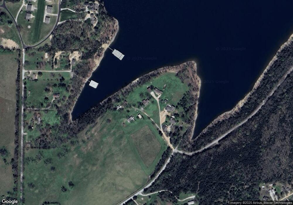
Map
Nearby Homes
- 195 Ludora Dr
- 000 Ludora Dr
- 0 Navajo Hills Rd
- 000 Navajo Hills Rd
- 56 N Fork Ln
- 4656 W State Highway H Unit 3
- 25 Bay Breeze Ln
- 457 Green Cypress Ln
- 3025 W State Highway H
- Tbd Cedar Reef
- Lot 33 Eagles Point Ln
- 237 Daisy Ln
- 278 Daisy Ln
- 435 Schodack Rd
- 110 Wildwood Rd
- 4124 State Highway H
- 2878 W State Highway H
- 000 Kicking Mule Ln
- Lot 1 Daisy Ln
- Lot 23 Daisy Ln
- 101 Edwards Dr
- 136 Edwards Dr
- Lot 3 Edwards Dr
- 118 Edwards Dr
- 62 Edwards Dr
- 19 Edwards Dr
- 2 Edwards Dr
- 0 State Hwy H
- 352 Clearspring Rd
- 510 Clearspring Rd
- 598 Clearspring Rd
- 442 Clearspring Rd
- 4062 W State Highway H
- 616 Clearspring Rd
- 565 Clearspring Rd
- 575 Clearspring Rd
- 640 Clearspring Rd
- Tbd Clearspring Rd
- lot 14 Clearspring Rd
- Tract C Clearspring Rd
Your Personal Tour Guide
Ask me questions while you tour the home.