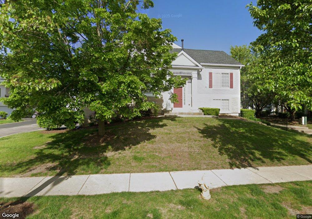
133 Enclave Cir Unit A Bolingbrook, IL 60440
East Bolingbrook NeighborhoodEstimated Value: $257,350 - $305,000
--
Bed
1
Bath
1,072
Sq Ft
$263/Sq Ft
Est. Value
About This Home
This home is located at 133 Enclave Cir Unit A, Bolingbrook, IL 60440 and is currently estimated at $281,588, approximately $262 per square foot. 133 Enclave Cir Unit A is a home located in Will County with nearby schools including John R Tibbott Elementary School, Brooks Middle School, and Hubert H Humphrey Middle School.
Ownership History
Date
Name
Owned For
Owner Type
Purchase Details
Closed on
Mar 13, 2011
Sold by
Tapia Danilo V
Bought by
Tapia Antonio and Tapia Jennie P
Current Estimated Value
Purchase Details
Closed on
Nov 8, 2004
Sold by
The Enclave Llc
Bought by
Tapia Antonio V and Tapia Jennie Pantilo
Home Financials for this Owner
Home Financials are based on the most recent Mortgage that was taken out on this home.
Original Mortgage
$159,893
Outstanding Balance
$75,615
Interest Rate
5%
Mortgage Type
Purchase Money Mortgage
Estimated Equity
$205,973
Create a Home Valuation Report for This Property
The Home Valuation Report is an in-depth analysis detailing your home's value as well as a comparison with similar homes in the area
Home Values in the Area
Average Home Value in this Area
Purchase History
| Date | Buyer | Sale Price | Title Company |
|---|---|---|---|
| Tapia Antonio | -- | None Available | |
| Tapia Antonio V | $200,000 | Ticor Title |
Source: Public Records
Mortgage History
| Date | Status | Borrower | Loan Amount |
|---|---|---|---|
| Open | Tapia Antonio V | $159,893 |
Source: Public Records
Tax History Compared to Growth
Tax History
| Year | Tax Paid | Tax Assessment Tax Assessment Total Assessment is a certain percentage of the fair market value that is determined by local assessors to be the total taxable value of land and additions on the property. | Land | Improvement |
|---|---|---|---|---|
| 2024 | $6,992 | $75,712 | $18,121 | $57,591 |
| 2023 | $6,992 | $68,123 | $16,305 | $51,818 |
| 2022 | $5,952 | $60,213 | $14,412 | $45,801 |
| 2021 | $5,668 | $56,300 | $13,475 | $42,825 |
| 2020 | $5,507 | $54,449 | $13,032 | $41,417 |
| 2019 | $5,245 | $50,840 | $12,168 | $38,672 |
| 2018 | $4,858 | $46,770 | $11,194 | $35,576 |
| 2017 | $4,646 | $44,331 | $10,610 | $33,721 |
| 2016 | $4,532 | $42,200 | $10,100 | $32,100 |
| 2015 | $5,299 | $39,300 | $9,400 | $29,900 |
| 2014 | $5,299 | $39,300 | $9,400 | $29,900 |
| 2013 | $5,299 | $49,200 | $11,800 | $37,400 |
Source: Public Records
Map
Nearby Homes
- 117 Enclave Cir Unit C
- 156 Monterey Dr
- 124 W Briarcliff Rd
- 219 Monterey Dr
- 131 Monticello Cir
- 255 Braemar Glen
- 112 Brook Ct
- 156 Cypress Dr
- 118 Camelot Way
- 2 Ava Ct
- 325 Rockhurst Rd
- 220 Falcon Ridge Way
- 316 Bedford Rd
- 322 Rockhurst Rd
- 220 N Ashbury Ave
- 43 Fernwood Dr Unit D
- 474 Mallview Ln
- 20 Elm Ct Unit 2
- 4G Fernwood Dr
- 492 Ridge Ln
- 133 Enclave Cir Unit E
- 133 Enclave Cir Unit B
- 133 Enclave Cir Unit C
- 133 Enclave Cir Unit 5
- 133 Enclave Cir Unit D
- 131 Enclave Cir Unit C
- 131 Enclave Cir Unit A
- 131 Enclave Cir Unit B
- 135 Enclave Cir Unit C
- 135 Enclave Cir Unit D
- 135 Enclave Cir Unit A
- 135 Enclave Cir Unit B
- 135 Enclave Cir
- 108 Enclave Cir Unit D
- 106 Enclave Cir Unit A
- 108 Enclave Cir Unit B
- 106 Enclave Cir Unit C
- 106 Enclave Cir Unit B
- 108 Enclave Cir Unit A
- 108 Enclave Cir Unit 321