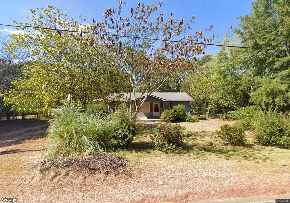
133 Ensign Rd Forsyth, GA 31029
Estimated Value: $117,995 - $474,000
2
Beds
1
Bath
1,000
Sq Ft
$219/Sq Ft
Est. Value
About This Home
This home is located at 133 Ensign Rd, Forsyth, GA 31029 and is currently estimated at $219,249, approximately $219 per square foot. 133 Ensign Rd is a home located in Monroe County with nearby schools including Samuel E. Hubbard Elementary School, Mary Persons High School, and Lighthouse Academy.
Ownership History
Date
Name
Owned For
Owner Type
Purchase Details
Closed on
Mar 24, 2011
Sold by
Speir Leon F
Bought by
Worth Ricky Wayne
Current Estimated Value
Purchase Details
Closed on
Jan 24, 1977
Sold by
Worth Walter Bobby
Bought by
Speir Evelyn Worth
Purchase Details
Closed on
Oct 21, 1975
Sold by
Worth Walter Bobby
Bought by
Worth Evelyn Gwenell Evans
Purchase Details
Closed on
Apr 20, 1970
Sold by
House Mary
Bought by
Worth Walter B
Purchase Details
Closed on
Jan 1, 1901
Sold by
Speir Evelyn Worth
Bought by
Speir Leon F
Create a Home Valuation Report for This Property
The Home Valuation Report is an in-depth analysis detailing your home's value as well as a comparison with similar homes in the area
Home Values in the Area
Average Home Value in this Area
Purchase History
| Date | Buyer | Sale Price | Title Company |
|---|---|---|---|
| Worth Ricky Wayne | -- | -- | |
| Speir Evelyn Worth | -- | -- | |
| Worth Evelyn Gwenell Evans | -- | -- | |
| Worth Walter B | -- | -- | |
| Speir Leon F | -- | -- |
Source: Public Records
Tax History Compared to Growth
Tax History
| Year | Tax Paid | Tax Assessment Tax Assessment Total Assessment is a certain percentage of the fair market value that is determined by local assessors to be the total taxable value of land and additions on the property. | Land | Improvement |
|---|---|---|---|---|
| 2024 | $487 | $17,292 | $2,520 | $14,772 |
| 2023 | $419 | $14,852 | $2,520 | $12,332 |
| 2022 | $402 | $14,852 | $2,520 | $12,332 |
| 2021 | $416 | $14,852 | $2,520 | $12,332 |
| 2020 | $427 | $14,852 | $2,520 | $12,332 |
| 2019 | $430 | $14,852 | $2,520 | $12,332 |
| 2018 | $431 | $14,852 | $2,520 | $12,332 |
| 2017 | $432 | $14,852 | $2,520 | $12,332 |
| 2016 | $410 | $14,852 | $2,520 | $12,332 |
| 2015 | $389 | $14,852 | $2,520 | $12,332 |
| 2014 | $375 | $14,852 | $2,520 | $12,332 |
Source: Public Records
Map
Nearby Homes
- 47 Ensign Rd
- 81 Langston Ave
- 397 Ensign Rd
- 84 Hillsdale Rd
- 225 N Indian Springs Dr
- 3487 Georgia 42
- 3271 Georgia 42
- 3471 Georgia 42
- 200 Indian Springs Dr
- 333 W Main St
- 24 George St
- 507 W Main St
- 4631 Capulet Ct Unit 331
- 4631 Capulet Ct
- 205 Solomon St
- 394 Brookwood Dr
- 4616 Capulet Ct
- 5407 Felles Way Unit 356
- 5399 Felles Way Unit 358
- 5399 Felles Way
- 143 Ensign Rd
- 121 Ensign Rd
- 135 Country Club Rd
- 102 Circle St
- 156 Circle St
- 111 Ensign Rd
- 146 Ensign Rd
- 108 Circle St
- 108 Ensign Rd
- 101 Ensign Rd
- 159 Circle St
- . Zebulon Rd
- 153 Mize St
- 0 Elm Ct Unit A-50 2697025
- 0 Equestrian Dr Unit E-11 2696982
- 145 Circle St
- 102 Ensign Rd
- 92 Circle St
- 175 Mize St
- 147 Circle St