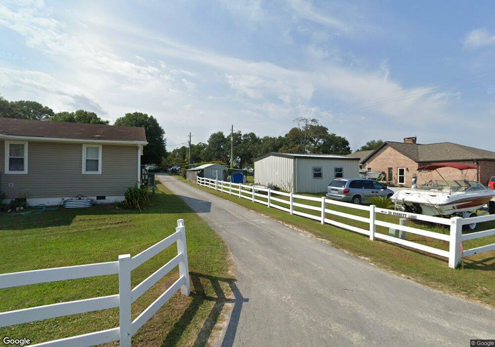
133 Everett Ln Sneads Ferry, NC 28460
Estimated Value: $612,000 - $851,000
3
Beds
3
Baths
2,908
Sq Ft
$261/Sq Ft
Est. Value
About This Home
This home is located at 133 Everett Ln, Sneads Ferry, NC 28460 and is currently estimated at $758,604, approximately $260 per square foot. 133 Everett Ln is a home located in Onslow County with nearby schools including Dixon Elementary School and Dixon High School.
Ownership History
Date
Name
Owned For
Owner Type
Purchase Details
Closed on
Feb 28, 2014
Sold by
Lee Kenneth and Lee Brenda E
Bought by
Eddington Harold R
Current Estimated Value
Home Financials for this Owner
Home Financials are based on the most recent Mortgage that was taken out on this home.
Original Mortgage
$380,000
Outstanding Balance
$288,136
Interest Rate
4.35%
Mortgage Type
VA
Estimated Equity
$470,468
Create a Home Valuation Report for This Property
The Home Valuation Report is an in-depth analysis detailing your home's value as well as a comparison with similar homes in the area
Home Values in the Area
Average Home Value in this Area
Purchase History
| Date | Buyer | Sale Price | Title Company |
|---|---|---|---|
| Eddington Harold R | $380,000 | None Available |
Source: Public Records
Mortgage History
| Date | Status | Borrower | Loan Amount |
|---|---|---|---|
| Open | Eddington Harold R | $380,000 |
Source: Public Records
Tax History
| Year | Tax Paid | Tax Assessment Tax Assessment Total Assessment is a certain percentage of the fair market value that is determined by local assessors to be the total taxable value of land and additions on the property. | Land | Improvement |
|---|---|---|---|---|
| 2025 | $3,460 | $528,229 | $255,600 | $272,629 |
| 2024 | $3,460 | $528,229 | $255,600 | $272,629 |
| 2023 | $3,460 | $528,229 | $255,600 | $272,629 |
| 2022 | $3,460 | $528,229 | $255,600 | $272,629 |
| 2021 | $2,435 | $345,460 | $170,400 | $175,060 |
| 2020 | $2,435 | $345,460 | $170,400 | $175,060 |
| 2019 | $2,435 | $345,460 | $170,400 | $175,060 |
| 2018 | $2,435 | $345,460 | $170,400 | $175,060 |
| 2017 | $2,521 | $373,530 | $213,000 | $160,530 |
| 2016 | $2,521 | $373,530 | $0 | $0 |
| 2015 | $2,521 | $373,530 | $0 | $0 |
| 2014 | $2,521 | $373,530 | $0 | $0 |
Source: Public Records
Map
Nearby Homes
- 139 Hall Point Rd
- 222 Fulcher Landing Rd
- 103 Dogwood Ln
- 175 Fulcher Landing Rd
- 200 Smallberry Ct
- 534 Transom Way
- 554 Transom Way
- 574 Transom Way
- 536 Transom Way
- 657 Canady Rd
- 213 Lakeside Dr
- 1850 N Carolina 172
- 2463 N Carolina 172
- 200 Bayside Dr
- 128 Gemstone Dr
- 109 Lawndale Ln
- 113 Tillett Ln
- 105 Katrina St
- 205 Peggys Trace
- 216 Peggy's Trace
- 131 Everett Ln
- 133 Everett Ln
- 542 Poverty Point Rd
- 129 Everett Ln
- 538 Poverty Point Rd
- 544 Poverty Point Rd
- 546 Poverty Point Rd
- 123 Everett Ln
- 126 Everett Ln
- 117 Everett Ln
- 552 Poverty Point Rd
- 548 Poverty Point Rd
- 119 Everett Ln
- 124 Everett Ln
- 531 Poverty Point Rd
- 141 Everett Ln
- 120 Everett Ln
- 143 Everett Ln
- 113 Everett Ln
- 515 Poverty Point Rd
Your Personal Tour Guide
Ask me questions while you tour the home.