133 Fay Rd Woods Hole, MA 02543
Woods Hole NeighborhoodEstimated Value: $3,232,000 - $7,367,786
7
Beds
8
Baths
7,006
Sq Ft
$745/Sq Ft
Est. Value
About This Home
This home is located at 133 Fay Rd, Woods Hole, MA 02543 and is currently estimated at $5,222,595, approximately $745 per square foot. 133 Fay Rd is a home located in Barnstable County with nearby schools including Mullen-Hall School, Lawrence School, and Morse Pond School.
Ownership History
Date
Name
Owned For
Owner Type
Purchase Details
Closed on
Feb 4, 2019
Sold by
Atlas T
Bought by
Culgin Robert J and Culgin Natalie
Current Estimated Value
Home Financials for this Owner
Home Financials are based on the most recent Mortgage that was taken out on this home.
Original Mortgage
$3,500,000
Outstanding Balance
$3,077,127
Interest Rate
4.5%
Mortgage Type
Purchase Money Mortgage
Estimated Equity
$2,145,468
Purchase Details
Closed on
Apr 7, 1986
Bought by
Burwell Beverly and Burwell David G
Create a Home Valuation Report for This Property
The Home Valuation Report is an in-depth analysis detailing your home's value as well as a comparison with similar homes in the area
Home Values in the Area
Average Home Value in this Area
Purchase History
| Date | Buyer | Sale Price | Title Company |
|---|---|---|---|
| Culgin Robert J | $5,800,000 | -- | |
| Burwell Beverly | -- | -- |
Source: Public Records
Mortgage History
| Date | Status | Borrower | Loan Amount |
|---|---|---|---|
| Open | Culgin Robert J | $3,500,000 |
Source: Public Records
Tax History Compared to Growth
Tax History
| Year | Tax Paid | Tax Assessment Tax Assessment Total Assessment is a certain percentage of the fair market value that is determined by local assessors to be the total taxable value of land and additions on the property. | Land | Improvement |
|---|---|---|---|---|
| 2025 | $45,894 | $7,818,400 | $4,000,700 | $3,817,700 |
| 2024 | $47,246 | $7,523,200 | $4,000,700 | $3,522,500 |
| 2023 | $50,389 | $7,281,600 | $4,000,700 | $3,280,900 |
| 2022 | $41,780 | $5,190,100 | $3,657,300 | $1,532,800 |
| 2021 | $29,736 | $3,498,400 | $3,498,400 | $0 |
| 2020 | $35,086 | $4,084,500 | $3,180,300 | $904,200 |
| 2019 | $31,750 | $3,709,100 | $3,180,300 | $528,800 |
| 2018 | $32,197 | $3,681,600 | $3,180,300 | $501,300 |
| 2017 | $31,157 | $3,652,600 | $3,180,300 | $472,300 |
| 2016 | $30,572 | $3,652,600 | $3,180,300 | $472,300 |
| 2015 | $29,834 | $3,642,700 | $3,180,300 | $462,400 |
| 2014 | $29,285 | $3,593,300 | $3,180,200 | $413,100 |
Source: Public Records
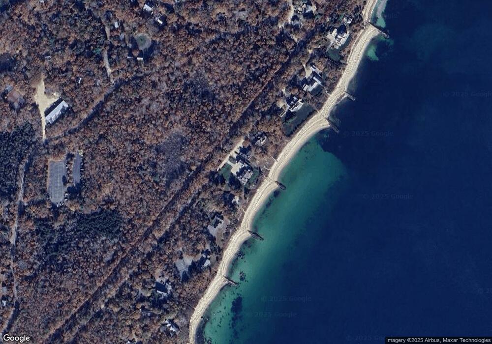
Map
Nearby Homes
- 76 F r Lillie Rd
- 29 Wilson Rd
- 9 Strawberry Hill Rd
- 9 Strawberry Hill Rd
- 533 Woods Hole Rd Unit B101
- 533 Woods Hole Rd Unit D101
- 533 Woods Hole Rd Unit B102
- 533 Woods Hole Rd Unit E202
- 533 Woods Hole Rd Unit E301
- 82 Harbor Hill Rd
- 87 Oyster Pond Rd
- 10 Quissett Ave
- 54 Whitman Rd
- 14 School St
- 251 Woods Hole Rd
- 5 Park Rd
- 44 Carey Ln
- 38 Landfall Unit 38
- 38 Landfall