133 Fireside Dr Cleveland, GA 30528
Estimated Value: $307,000 - $975,000
2
Beds
2
Baths
896
Sq Ft
$562/Sq Ft
Est. Value
About This Home
This home is located at 133 Fireside Dr, Cleveland, GA 30528 and is currently estimated at $503,954, approximately $562 per square foot. 133 Fireside Dr is a home with nearby schools including Mount Yonah Elementary School, White County 9th Grade Academy, and White County Middle School.
Ownership History
Date
Name
Owned For
Owner Type
Purchase Details
Closed on
Nov 2, 2020
Sold by
Yonah View Rentals Llc
Bought by
Solid Rock Property Management Llc
Current Estimated Value
Purchase Details
Closed on
Feb 3, 2016
Sold by
All Region Realty Corp
Bought by
Yonah View Rentals Llc
Create a Home Valuation Report for This Property
The Home Valuation Report is an in-depth analysis detailing your home's value as well as a comparison with similar homes in the area
Home Values in the Area
Average Home Value in this Area
Purchase History
| Date | Buyer | Sale Price | Title Company |
|---|---|---|---|
| Solid Rock Property Management Llc | $400,000 | -- | |
| Yonah View Rentals Llc | $236,720 | -- | |
| Yonah View Rentals Llc | $371,650 | -- | |
| Smith Larry E | $392,650 | -- |
Source: Public Records
Tax History Compared to Growth
Tax History
| Year | Tax Paid | Tax Assessment Tax Assessment Total Assessment is a certain percentage of the fair market value that is determined by local assessors to be the total taxable value of land and additions on the property. | Land | Improvement |
|---|---|---|---|---|
| 2025 | $3,802 | $185,296 | $10,000 | $175,296 |
| 2024 | $3,802 | $182,496 | $7,200 | $175,296 |
| 2023 | $3,643 | $160,624 | $7,200 | $153,424 |
| 2022 | $3,315 | $139,696 | $7,200 | $132,496 |
| 2021 | $3,004 | $112,032 | $7,200 | $104,832 |
| 2020 | $2,883 | $102,448 | $7,200 | $95,248 |
| 2019 | $2,892 | $102,448 | $7,200 | $95,248 |
| 2018 | $2,892 | $102,448 | $7,200 | $95,248 |
| 2017 | $2,649 | $94,688 | $7,200 | $87,488 |
| 2016 | $2,649 | $94,688 | $7,200 | $87,488 |
| 2015 | $2,528 | $236,720 | $7,200 | $87,488 |
| 2014 | $2,318 | $216,640 | $0 | $0 |
Source: Public Records
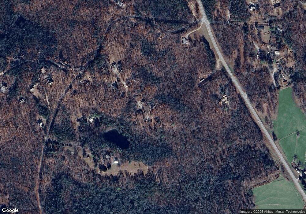
Map
Nearby Homes
- 807 Satterfield Rd
- 86 White Pines Rd
- 25 Duncan Bridge Ct
- 0 Duncan Bridge Unit 10509840
- 0 Duncan Bridge Unit 7569175
- 4381 Duncan Bridge Rd
- 0 Yonah View Dr
- 9 Tanvor Trail
- 96 Tanvor Trail
- 865 Laurel Ridge Rd
- 873 Laurel Ridge Rd
- 469 Vista View Place
- 224 Magnolia Dr
- 178 Rhododendron Ln
- 62 High Ridge
- 620 Slaton Ridge
- 1200 Roy Powers Rd
- 12 Swallow Dr
- 95 Cedar Hollow Rd
- 61 Berry Patch Ln
- 104 Fireside Dr
- 97 Fireside Dr
- 75 Fireside Dr
- 62 Fireside Dr
- 55 Fireside Dr
- 55 Fireside Dr Unit TRACT 1
- 738 Satterfield Rd
- 928 Satterfield Rd
- 888 Satterfield Rd Unit 2
- 888 Satterfield Rd
- 878 Satterfield Rd
- 1144 Satterfield Rd
- 1026 Satterfield Rd
- 3948 Duncan Bridge Rd
- 3948 Duncan Bridge Rd
- 3816 Duncan Bridge Rd
- 990 Satterfield Rd
- 4386 Duncan Bridge Rd
- 1050 Satterfield Rd
- 901 Satterfield Rd