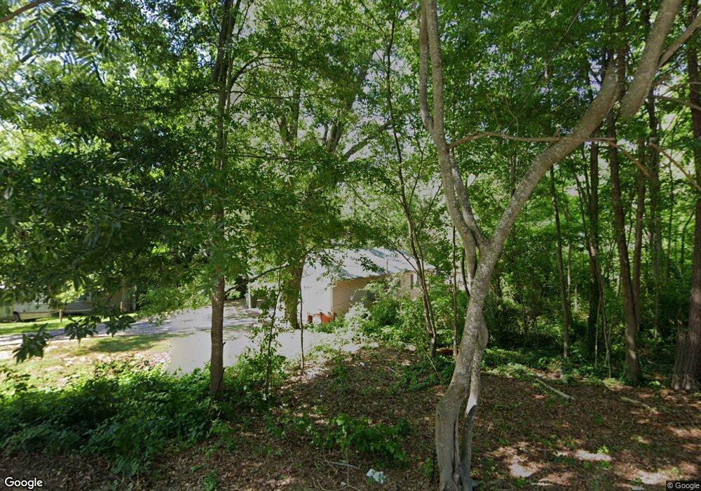
133 Foster St Carrollton, GA 30117
Estimated Value: $166,000 - $297,000
3
Beds
2
Baths
1,150
Sq Ft
$199/Sq Ft
Est. Value
About This Home
This home is located at 133 Foster St, Carrollton, GA 30117 and is currently estimated at $228,516, approximately $198 per square foot. 133 Foster St is a home located in Carroll County with nearby schools including Carrollton Elementary School, Carrollton Upper Elementary School, and Carrollton Middle School.
Ownership History
Date
Name
Owned For
Owner Type
Purchase Details
Closed on
Jul 7, 2010
Sold by
Wells Fargo Bank Na
Bought by
Terrell Joseph M
Current Estimated Value
Purchase Details
Closed on
Jun 24, 2005
Sold by
Center Point Development L
Bought by
Hines Lisa A
Home Financials for this Owner
Home Financials are based on the most recent Mortgage that was taken out on this home.
Original Mortgage
$86,000
Interest Rate
5.57%
Mortgage Type
New Conventional
Purchase Details
Closed on
Mar 20, 2001
Sold by
Jmp Properties Llc
Bought by
Center Point Dev Llc
Purchase Details
Closed on
Mar 16, 2001
Sold by
Williams Mary E
Bought by
Jmp Properties Llc
Purchase Details
Closed on
Feb 16, 1998
Sold by
Williams C L
Bought by
Williams Mary E
Purchase Details
Closed on
Jul 9, 1997
Sold by
Williams Williams C and Williams Mary
Bought by
Williams Mary E
Purchase Details
Closed on
Feb 1, 1996
Bought by
Williams Williams C and Williams Mary
Create a Home Valuation Report for This Property
The Home Valuation Report is an in-depth analysis detailing your home's value as well as a comparison with similar homes in the area
Home Values in the Area
Average Home Value in this Area
Purchase History
| Date | Buyer | Sale Price | Title Company |
|---|---|---|---|
| Terrell Joseph M | $31,800 | -- | |
| Hines Lisa A | $72,300 | -- | |
| Center Point Dev Llc | $6,200 | -- | |
| Jmp Properties Llc | $4,500 | -- | |
| Williams Mary E | -- | -- | |
| Williams Mary E | -- | -- | |
| Williams Williams C | $4,400 | -- |
Source: Public Records
Mortgage History
| Date | Status | Borrower | Loan Amount |
|---|---|---|---|
| Previous Owner | Hines Lisa A | $86,000 |
Source: Public Records
Tax History Compared to Growth
Tax History
| Year | Tax Paid | Tax Assessment Tax Assessment Total Assessment is a certain percentage of the fair market value that is determined by local assessors to be the total taxable value of land and additions on the property. | Land | Improvement |
|---|---|---|---|---|
| 2024 | $360 | $65,586 | $5,042 | $60,544 |
| 2023 | $344 | $60,057 | $5,042 | $55,015 |
| 2022 | $321 | $47,475 | $3,370 | $44,105 |
| 2021 | $289 | $40,344 | $2,496 | $37,848 |
| 2020 | $270 | $35,912 | $2,496 | $33,416 |
| 2019 | $261 | $32,559 | $2,496 | $30,063 |
| 2018 | $248 | $28,078 | $2,496 | $25,582 |
| 2017 | $251 | $28,078 | $2,496 | $25,582 |
| 2016 | $252 | $28,078 | $2,496 | $25,582 |
| 2015 | $257 | $28,265 | $6,000 | $22,265 |
| 2014 | $259 | $28,265 | $6,000 | $22,265 |
Source: Public Records
Map
Nearby Homes
- 219 Broad St
- 516 Longview St
- 160 Watson St
- 105 Haygood Place
- 141 Bowen St
- 142 Griffin Dr
- 109 S Park St
- 166 Maple St
- 109 7th St
- 301 Bradley St
- 27 South St
- 301 C4 Bradley St
- TRACT1-7 Us Highway 27
- 110 Golfview Ct
- 654 King St
- 0 Hwy 27 None N
- 405 N Park St
- 108 Springwood Dr
- 205 Johnson Ave Unit 231
- 0 Ward St Unit 10390499
- 408 Burson Ave
- 128 Foster St
- 404 Burson Ave
- 134 Foster St
- 126 Foster St
- 234 Broad St
- 0 Burson Ave Unit 7508417
- 0 Burson Ave Unit 7462009
- 0 Burson Ave Unit 7288043
- 0 Burson Ave Unit 3181651
- 0 Burson Ave Unit 8053571
- 0 Burson Ave Unit 7481447
- 0 Burson Ave
- 124 Foster St
- 230 Broad St
- 226 Broad St
- 238 Broad St
- 138 Foster St
- 115 Foster St
- 222 Broad St