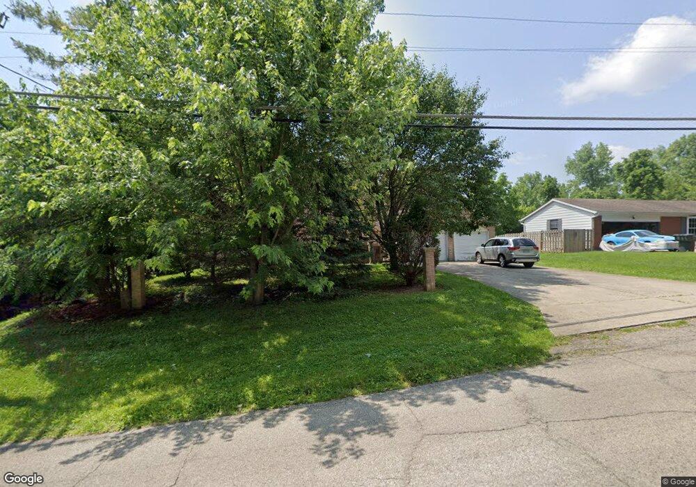
133 Grove Rd Cincinnati, OH 45215
Estimated Value: $286,000 - $388,000
3
Beds
2
Baths
2,033
Sq Ft
$167/Sq Ft
Est. Value
About This Home
This home is located at 133 Grove Rd, Cincinnati, OH 45215 and is currently estimated at $339,784, approximately $167 per square foot. 133 Grove Rd is a home located in Hamilton County with nearby schools including Woodlawn Elementary School, Princeton Community Middle School, and Princeton High School.
Ownership History
Date
Name
Owned For
Owner Type
Purchase Details
Closed on
May 14, 1998
Sold by
Phillips Arthur and Phillips Jessie
Bought by
Phillips Jennifer
Current Estimated Value
Home Financials for this Owner
Home Financials are based on the most recent Mortgage that was taken out on this home.
Original Mortgage
$72,000
Interest Rate
7.15%
Create a Home Valuation Report for This Property
The Home Valuation Report is an in-depth analysis detailing your home's value as well as a comparison with similar homes in the area
Home Values in the Area
Average Home Value in this Area
Purchase History
| Date | Buyer | Sale Price | Title Company |
|---|---|---|---|
| Phillips Jennifer | -- | -- |
Source: Public Records
Mortgage History
| Date | Status | Borrower | Loan Amount |
|---|---|---|---|
| Previous Owner | Phillips Jennifer | $72,000 |
Source: Public Records
Tax History Compared to Growth
Tax History
| Year | Tax Paid | Tax Assessment Tax Assessment Total Assessment is a certain percentage of the fair market value that is determined by local assessors to be the total taxable value of land and additions on the property. | Land | Improvement |
|---|---|---|---|---|
| 2024 | $3,715 | $82,919 | $8,824 | $74,095 |
| 2023 | $3,763 | $82,919 | $8,824 | $74,095 |
| 2022 | $3,005 | $60,137 | $7,924 | $52,213 |
| 2021 | $2,918 | $60,137 | $7,924 | $52,213 |
| 2020 | $2,955 | $60,137 | $7,924 | $52,213 |
| 2019 | $2,692 | $51,842 | $6,832 | $45,010 |
| 2018 | $2,547 | $51,842 | $6,832 | $45,010 |
| 2017 | $2,398 | $51,842 | $6,832 | $45,010 |
| 2016 | $2,645 | $55,853 | $7,728 | $48,125 |
| 2015 | $2,677 | $55,853 | $7,728 | $48,125 |
| 2014 | $2,686 | $55,853 | $7,728 | $48,125 |
| 2013 | $2,997 | $58,793 | $8,134 | $50,659 |
Source: Public Records
Map
Nearby Homes
- 10110 Woodstock Dr
- 11 Diplomat Dr
- 1708 Harmon Dr
- 155 Bonham Rd
- 55 Bonham Rd
- 126 Riddle Rd
- 309 Princess Ct
- 10122 Grandview Ave
- 22 Ritchie Ave
- 10164 Wayne Ave
- 359 Ashley Ln
- 1239 Springfield Pike
- 343 Ashley Ln
- 1207 Beechwood Dr
- 9748 Leacrest Rd
- 1127 Brayton Ave
- 10010 Thoroughbred Ln
- 949 Adams St
- 505 Glendale Milford Rd
- 926 Reily Rd
- 135 Grove Rd
- 141 Grove Rd
- 123 Grove Rd
- 10027 Arnold Dr
- 124 W Leslie Ave
- 10032 Arnold Dr
- 115 Grove Rd
- 151 Grove Rd
- 10033 Arnold Dr
- 114 W Leslie Ave
- 10038 Arnold Dr
- 107 Grove Rd
- 157 Grove Rd
- 10039 Arnold Dr
- 113 W Leslie Ave
- 10036 Woodstock Dr
- 105 Grove Rd
- 10044 Arnold Dr
- 10038 Woodstock Dr
- 10045 Arnold Dr