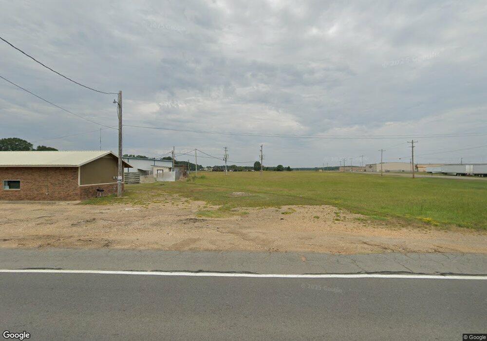
133 Highway 278 E Camden, AR 71701
Estimated Value: $168,000 - $342,000
4
Beds
2
Baths
2,176
Sq Ft
$103/Sq Ft
Est. Value
About This Home
This home is located at 133 Highway 278 E, Camden, AR 71701 and is currently estimated at $224,568, approximately $103 per square foot. 133 Highway 278 E is a home located in Ouachita County with nearby schools including Harmony Grove Elementary School, Sparkman Elementary School, and Sparkman K-12 School.
Ownership History
Date
Name
Owned For
Owner Type
Purchase Details
Closed on
Dec 5, 2011
Sold by
Denton Delano and Denton Caroline
Bought by
Autrey Billy J
Current Estimated Value
Home Financials for this Owner
Home Financials are based on the most recent Mortgage that was taken out on this home.
Original Mortgage
$136,680
Outstanding Balance
$92,563
Interest Rate
4.03%
Estimated Equity
$132,005
Purchase Details
Closed on
Mar 1, 2005
Bought by
Denton Delano R and Denton Caroline
Purchase Details
Closed on
Apr 19, 2002
Bought by
From Barnes To Castleberry
Create a Home Valuation Report for This Property
The Home Valuation Report is an in-depth analysis detailing your home's value as well as a comparison with similar homes in the area
Purchase History
| Date | Buyer | Sale Price | Title Company |
|---|---|---|---|
| Autrey Billy J | $130,000 | -- | |
| Denton Delano R | $85,000 | -- | |
| From Barnes To Castleberry | $85,000 | -- |
Source: Public Records
Mortgage History
| Date | Status | Borrower | Loan Amount |
|---|---|---|---|
| Open | Autrey Billy J | $136,680 |
Source: Public Records
Tax History
| Year | Tax Paid | Tax Assessment Tax Assessment Total Assessment is a certain percentage of the fair market value that is determined by local assessors to be the total taxable value of land and additions on the property. | Land | Improvement |
|---|---|---|---|---|
| 2025 | $501 | $31,070 | $940 | $30,130 |
| 2024 | $548 | $19,340 | $750 | $18,590 |
| 2023 | $623 | $19,340 | $750 | $18,590 |
| 2022 | $673 | $19,340 | $750 | $18,590 |
| 2021 | $673 | $19,340 | $750 | $18,590 |
| 2020 | $673 | $21,020 | $510 | $20,510 |
| 2019 | $764 | $21,020 | $510 | $20,510 |
| 2018 | $789 | $21,020 | $510 | $20,510 |
| 2017 | $789 | $21,020 | $510 | $20,510 |
| 2016 | $789 | $21,020 | $510 | $20,510 |
| 2015 | $672 | $21,020 | $510 | $20,510 |
| 2014 | $686 | $21,310 | $800 | $20,510 |
Source: Public Records
Map
Nearby Homes
- 127 Highway 278b E
- 139 Highway 278b E
- 2011 Highway 79 N
- 175 Highway 278 E
- 181 Highway 278 E
- 181 Highway 278 E Unit A
- 2020 Highway 79 N
- 125 U S 278
- 2517 Highway 79 N
- 2104 Highway 79 N
- 2115 Highway 79 N
- 2088 Highway 79 N
- 701 Ouachita 44
- 2108 Highway 79 N
- 111 Ouachita 286
- 2112 Highway 79 N
- 2124 Highway 79 N
- 235 Highway 278 E
- 2136 Highway 79 N
- 255 Highway 278 E
Your Personal Tour Guide
Ask me questions while you tour the home.
