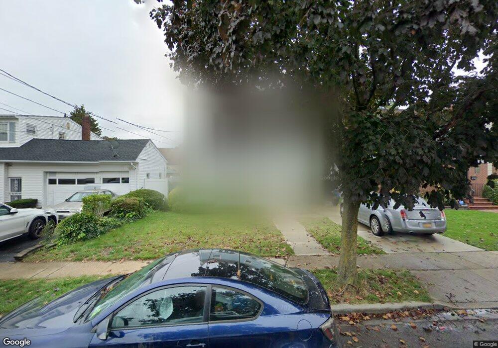
133 Holly Ave Hempstead, NY 11550
Estimated Value: $576,000 - $590,404
--
Bed
1
Bath
1,168
Sq Ft
$499/Sq Ft
Est. Value
About This Home
This home is located at 133 Holly Ave, Hempstead, NY 11550 and is currently estimated at $583,202, approximately $499 per square foot. 133 Holly Ave is a home located in Nassau County with nearby schools including California Avenue Elementary School, Lawrence Road Middle School, and Uniondale High School.
Ownership History
Date
Name
Owned For
Owner Type
Purchase Details
Closed on
Dec 20, 2024
Sold by
Church Harold J
Bought by
Church Harold J and Harold Church Iii Revocable Trust
Current Estimated Value
Purchase Details
Closed on
Feb 23, 2010
Sold by
Clay Jamina
Bought by
Church Harold J
Home Financials for this Owner
Home Financials are based on the most recent Mortgage that was taken out on this home.
Original Mortgage
$247,778
Outstanding Balance
$167,796
Interest Rate
5.5%
Mortgage Type
FHA
Estimated Equity
$415,406
Purchase Details
Closed on
Jan 5, 2004
Sold by
Taylor Jannette
Bought by
Clay Jamina
Purchase Details
Closed on
May 14, 2001
Sold by
Woody Nicolas
Bought by
Taylor Jannette
Create a Home Valuation Report for This Property
The Home Valuation Report is an in-depth analysis detailing your home's value as well as a comparison with similar homes in the area
Home Values in the Area
Average Home Value in this Area
Purchase History
| Date | Buyer | Sale Price | Title Company |
|---|---|---|---|
| Church Harold J | -- | Stewart Title | |
| Church Harold J | -- | Stewart Title | |
| Church Harold J | $252,350 | -- | |
| Church Harold J | $252,350 | -- | |
| Church Harold J | $252,350 | -- | |
| Clay Jamina | $240,500 | -- | |
| Clay Jamina | $240,500 | -- | |
| Taylor Jannette | $165,000 | Michael Rich | |
| Taylor Jannette | $165,000 | Michael Rich |
Source: Public Records
Mortgage History
| Date | Status | Borrower | Loan Amount |
|---|---|---|---|
| Open | Church Harold J | $247,778 | |
| Closed | Church Harold J | $247,778 |
Source: Public Records
Tax History Compared to Growth
Tax History
| Year | Tax Paid | Tax Assessment Tax Assessment Total Assessment is a certain percentage of the fair market value that is determined by local assessors to be the total taxable value of land and additions on the property. | Land | Improvement |
|---|---|---|---|---|
| 2025 | $5,565 | $362 | $121 | $241 |
| 2024 | $942 | $362 | $121 | $241 |
| 2023 | $4,362 | $348 | $116 | $232 |
| 2022 | $4,362 | $362 | $121 | $241 |
| 2021 | $6,514 | $345 | $115 | $230 |
| 2020 | $4,691 | $504 | $327 | $177 |
| 2019 | $4,422 | $628 | $408 | $220 |
| 2018 | $5,447 | $628 | $0 | $0 |
| 2017 | $4,013 | $628 | $408 | $220 |
| 2016 | $5,112 | $628 | $408 | $220 |
| 2015 | $1,052 | $628 | $408 | $220 |
| 2014 | $1,052 | $628 | $408 | $220 |
| 2013 | $974 | $628 | $408 | $220 |
Source: Public Records
Map
Nearby Homes
- 183 Perry St
- 78 Spencer Place
- 41 Perry St
- 112 Rutland Rd
- 355 Jerusalem Ave
- 106 Spencer Place
- 178 Rutland Rd
- 18 Perry St
- 203 Rutland Rd
- 363 Clarendon Rd
- 305 Crowell St
- 403 Jerusalem Ave
- 109 Leverich St
- 749 Front St
- 399 Hawthorne Ave
- 33 Elmwood Ave
- 132 Duncan Rd
- 59 Ingraham Blvd
- 112 Meadowbrook Rd
- 52 Elmwood Ave