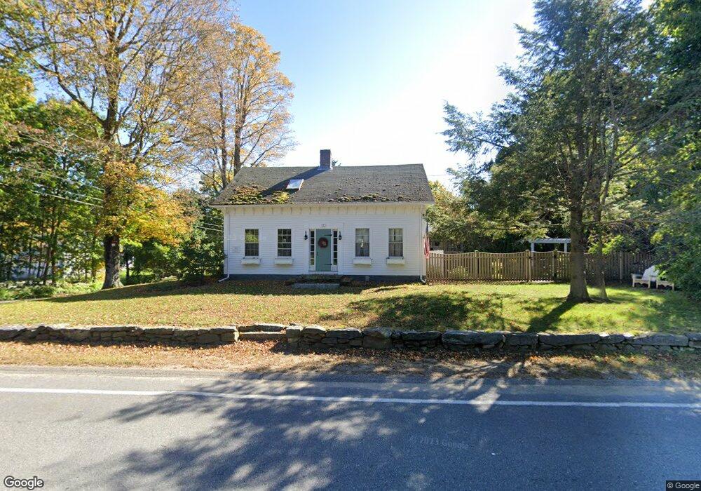
133 Hubbardston Rd Princeton, MA 01541
Estimated Value: $670,046 - $801,000
3
Beds
3
Baths
2,750
Sq Ft
$268/Sq Ft
Est. Value
About This Home
This home is located at 133 Hubbardston Rd, Princeton, MA 01541 and is currently estimated at $737,012, approximately $268 per square foot. 133 Hubbardston Rd is a home located in Worcester County with nearby schools including Wachusett Regional High School.
Ownership History
Date
Name
Owned For
Owner Type
Purchase Details
Closed on
Nov 14, 2003
Sold by
Bristol Phelps H and Bristol Sally U
Bought by
Doyle 3Rd Andrew F and Doyle Jennifer L
Current Estimated Value
Home Financials for this Owner
Home Financials are based on the most recent Mortgage that was taken out on this home.
Original Mortgage
$320,000
Outstanding Balance
$146,392
Interest Rate
5.81%
Mortgage Type
Purchase Money Mortgage
Estimated Equity
$590,620
Create a Home Valuation Report for This Property
The Home Valuation Report is an in-depth analysis detailing your home's value as well as a comparison with similar homes in the area
Home Values in the Area
Average Home Value in this Area
Purchase History
| Date | Buyer | Sale Price | Title Company |
|---|---|---|---|
| Doyle 3Rd Andrew F | $400,000 | -- |
Source: Public Records
Mortgage History
| Date | Status | Borrower | Loan Amount |
|---|---|---|---|
| Open | Doyle 3Rd Andrew F | $320,000 |
Source: Public Records
Tax History Compared to Growth
Tax History
| Year | Tax Paid | Tax Assessment Tax Assessment Total Assessment is a certain percentage of the fair market value that is determined by local assessors to be the total taxable value of land and additions on the property. | Land | Improvement |
|---|---|---|---|---|
| 2025 | $7,872 | $541,800 | $116,100 | $425,700 |
| 2024 | $7,759 | $553,000 | $116,100 | $436,900 |
| 2023 | $7,385 | $487,800 | $92,100 | $395,700 |
| 2022 | $7,014 | $447,300 | $92,100 | $355,200 |
| 2021 | $6,641 | $412,000 | $92,100 | $319,900 |
| 2020 | $299 | $405,100 | $92,100 | $313,000 |
| 2019 | $6,395 | $399,200 | $89,600 | $309,600 |
| 2018 | $5,950 | $344,300 | $81,500 | $262,800 |
| 2017 | $5,752 | $323,500 | $121,600 | $201,900 |
| 2016 | $5,758 | $323,500 | $121,600 | $201,900 |
| 2015 | $5,757 | $332,800 | $123,800 | $209,000 |
Source: Public Records
Map
Nearby Homes
- 20 Mountain Rd
- 56 Hubbardston Rd
- 58 Merriam Rd
- 134 Mountain Rd
- 28 Merriam Rd
- 11 Mirick Rd
- 166 Ball Hill Rd
- 15 Stagecoach Rd
- 9 Stagecoach Rd
- 14 Oak Cir
- 17 Coal Kiln Rd
- 81 Glenwood Place
- 45 Old Colony Rd
- 271 Glenwood Rd
- 100 Houghton Rd
- 4 Paddock Rd
- 751 Mason Rd
- 46 Pine Hill Rd
- 47 Pine Hill Rd
- 161 Beaman Rd
- 0 Calamint Hill Rd (North) Unit 71670765
- 136 Hubbardston Rd
- 3 Calamint Hill Rd N
- 10 Calamint Hill Rd N
- 14 Calamint Hill Rd N
- 7 Calamint Hill Rd N
- 147 Hubbardston Rd
- 15 Calamint Hill Rd N
- 140 Hubbardston Rd
- 142 Hubbardston Rd
- 142 Hubbardston Rd Unit 1
- 22 Calamint Hill Rd N
- 22 Calamint Hill Rd N
- 19 Calamint Hill Rd N
- 110 Hubbardston Rd
- 93 Hubbardston Rd
- 24C Calamint Hill Rd N
- 24A Calamint Hill Rd N
- 24B Calamint Hill Rd N
- 158 Hubbardston Rd